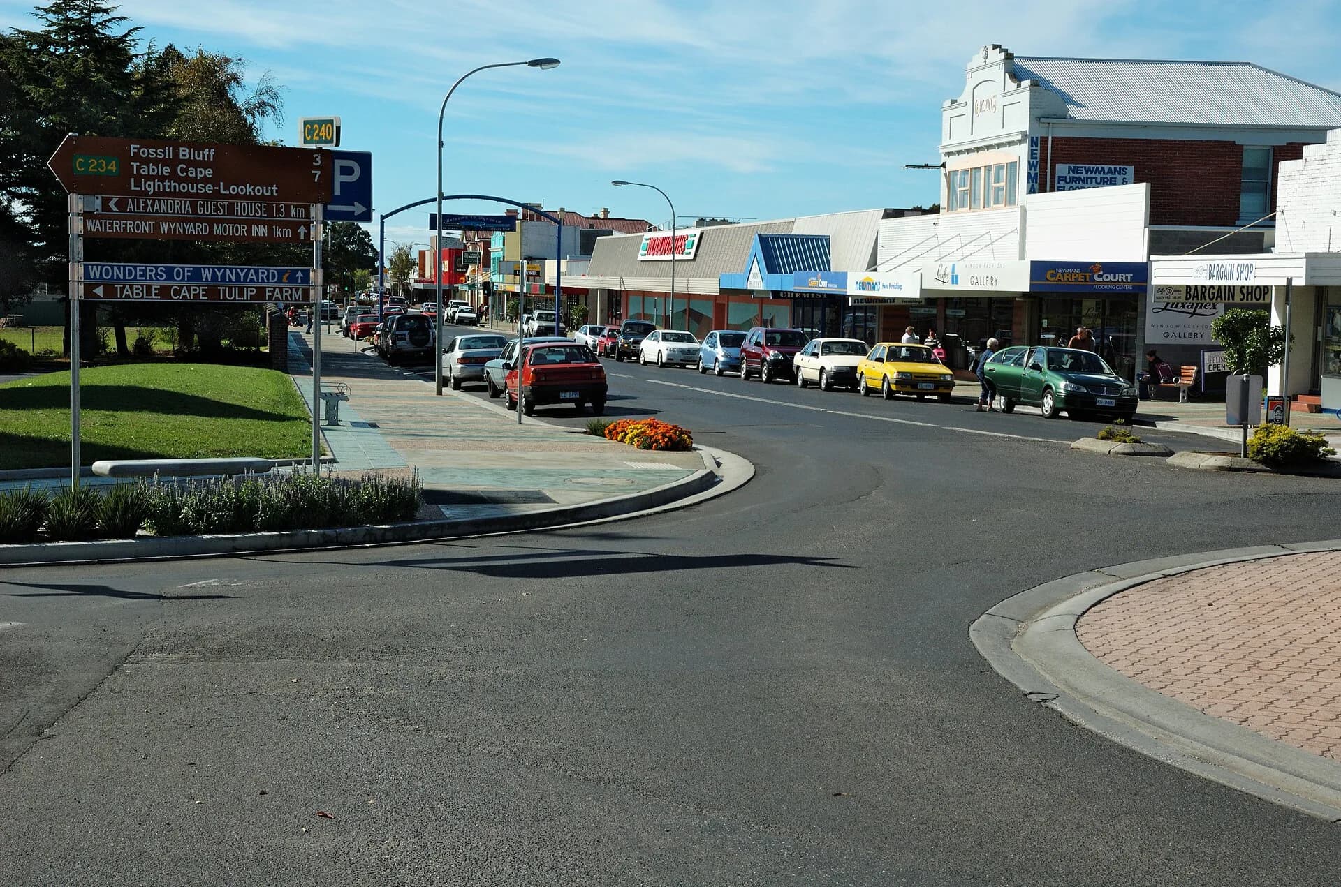

Wynyard sits where the Inglis River reaches Bass Strait, below the volcanic plateau of Table Cape. It works well as a service base between Burnie, Stanley and inland north-west roads, with a compact centre and riverfront paths.
Begin beside the Inglis River
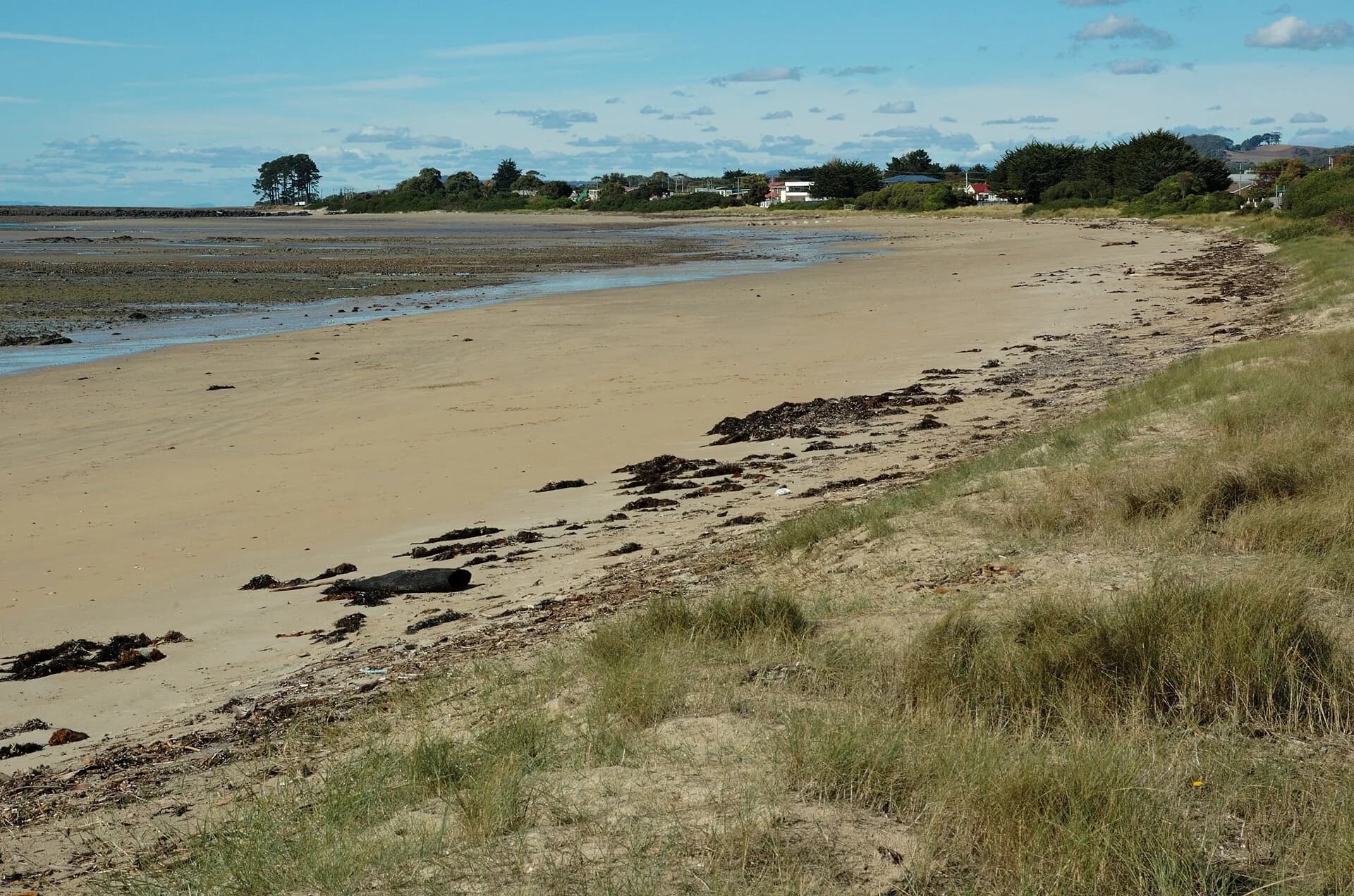
The river mouth, foreshore and nearby streets explain the town’s layout. Wind, tide and recent rain affect the shore; use formed paths and keep clear of working boat areas.

Walk the centre and check local collections
Goldie Street contains daily services and small businesses. The council visitor centre and museum provide current information and transport collections, but opening arrangements should be confirmed before making them the purpose of a trip.


Make Table Cape a separate stop
Table Cape rises immediately west of town but has its own road, lookout, lighthouse and weather. Spring farm visits and tours require current operator information.
_(13415643064).jpg)
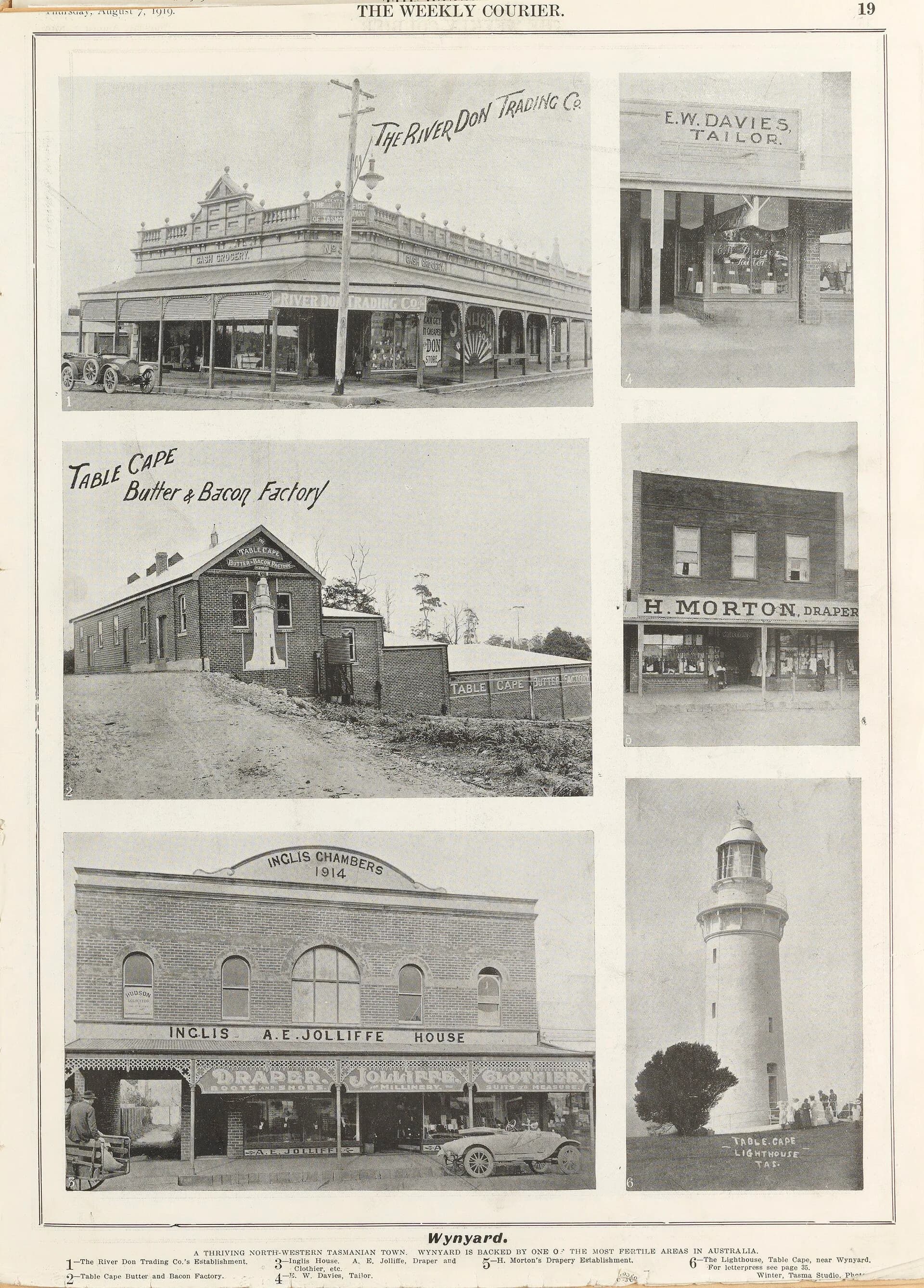
Read the history of Wynyard for the port, railway and farming story. Boat Harbour Beach and the North West beaches guide help choose a coast stop according to conditions.