.jpg)
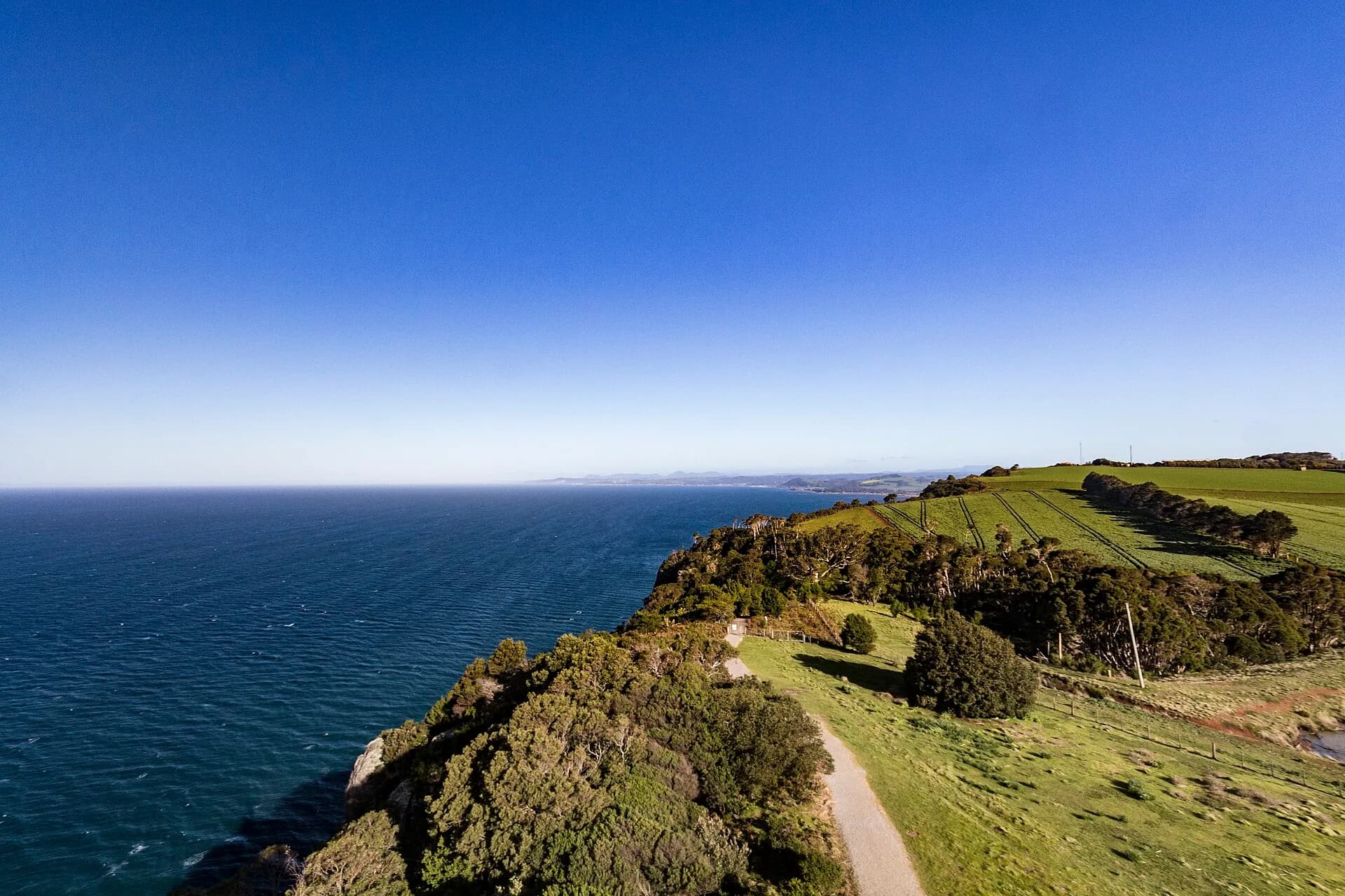
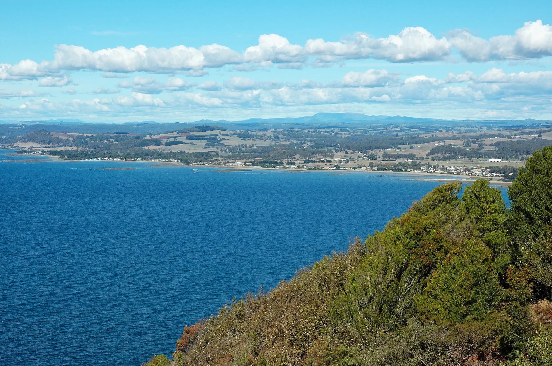
Table Cape rises west of Wynyard as a broad volcanic headland above Bass Strait. Public lookouts and the lighthouse share the plateau with working farms, seasonal crops and exposed cliff edges.
Begin at the public lookout
The council lookout provides coastal views and parking without requiring entry to farmland. Wind can be much stronger on the cape than in Wynyard, so secure doors, hats and loose belongings.

The lighthouse remains a navigation site
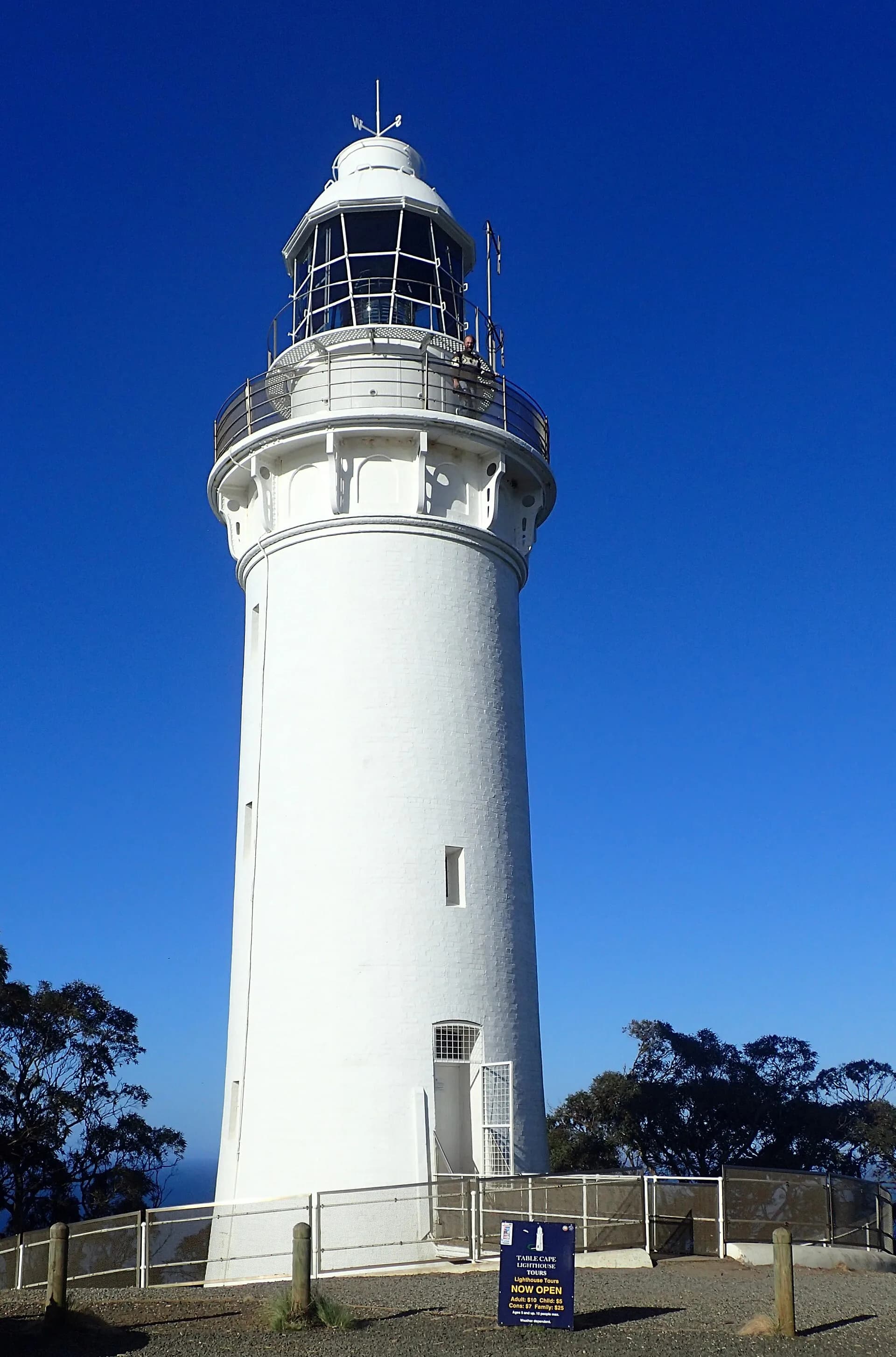
The brick Table Cape lighthouse was completed in 1888. Tour availability is seasonal and can change; outside a confirmed tour, respect operational and private boundaries.
.jpg)
Tulip fields are farms
Spring flowering attracts heavy traffic, but fields are commercial workplaces. Enter only where the operator explicitly permits access, follow ticket and parking arrangements and never stop in the traffic lane for a photograph.
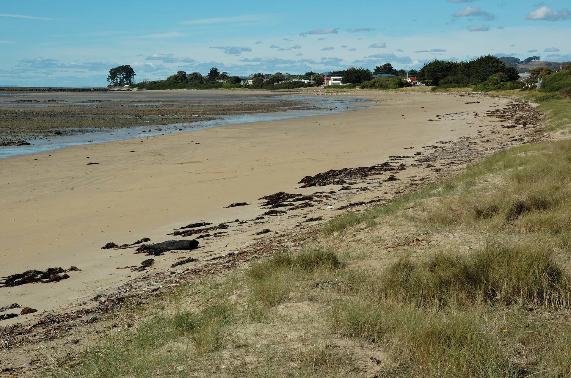

Clifftop paths require care in strong wind and wet weather. Combine the cape with Wynyard, Boat Harbour Beach or the Wynyard history page.