
Location and scale
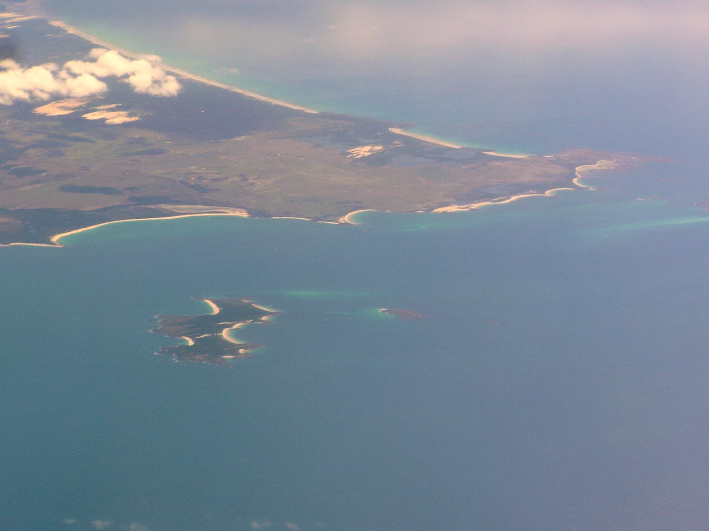
Boobyalla Beach is a long, northwest-facing ocean beach on the eastern shore of Ringarooma Bay. The sandy shore runs for about 9.4 kilometres from the mobile mouth of the Boobyalla River north to Petal Point. The beach presents an open, exposed coastline rather than a sheltered bay or small cove.
Surf character and hazards
This is a high-energy beach with persistent breaking and complex currents. Surf Life Saving Australia records the beach as a higher hazard site with a general rating of 6 out of 10. There are no SLSA patrols listed for Boobyalla, and the organisation’s guidance notes that information is indicative only and should not replace direct observation of conditions or an assessment of personal ability.
Bar system and rip currents
Boobyalla Beach has a notable triple-bar system. The low-tide foreshore grades into a 150 metre-wide inner transverse bar and rip system. A middle bar lies about 300 metres offshore and an outer bar typically sits around 500 metres from the shore. These three bars combine to create complex breaking patterns and strong currents. Records cite frequent rips along the entire length of the beach, with rips tending to occur on average every 200 metres and the site capable of maintaining many individual rips at once.
Dunes, inland extent and coastal environment
A continuous series of east-trending parabolic dunes runs behind the beach. Dune fields extend several kilometres inland and are described as covering roughly 4,000 hectares, with around 25 percent of that area active and the remainder stabilised or vegetated deflation basins. Some climbing dunes meet dolerite slopes and the highest climbing dunes are recorded up to 143 metres above sea level. Two small creeks drain the dunes and cross the beach. These physical features demonstrate a dynamic coastal environment with shifting sand, wind-transported sediment and changing shoreline forms.
Ringarooma Coastal Reserve limits
The Boobyalla River mouth and a narrow strip approximately 100 metres wide along the beach are included in the Ringarooma Coastal Reserve. That legal designation indicates a mix of environmental values and management arrangements along part of the shore and the river mouth. Visitors should expect reserve rules to apply within that area.
Access and vehicle notes
The only vehicle approach recorded for the beach is at the northern end via a four-wheel-drive track off Cape Portland Road. Track access is therefore limited and concentrated at that point. Driving on dunes or across vegetated foredunes is not consistent with protection of the coastal environment; any vehicle use should be legal, permitted and confined to established access tracks. Where vehicles are used, carry recovery gear and a reliable means of communication because the beach and its track access are remote compared with serviced coastal sites.
Services, visitor suitability and timing
There are no dependable visitor services listed for Boobyalla Beach. No SLSA patrols operate there, so the shore is not suited to unsupervised swimming, family beach days that rely on lifeguards, or casual water recreation without strong local knowledge. The beach is more suitable for prepared day visits by people who understand remote coastal conditions, such as experienced walkers, photographers and those skilled in safe vehicle-based access. Overnight stays should be treated with caution and only after confirming legal access and any reserve restrictions.
Practical checks before you go
Check official sea and weather forecasts and any local hazard information before travelling. Confirm current legal access and track conditions with the relevant land manager or park authority, since access arrangements can change. Tell someone your route and expected return time. Carry adequate food, water, shelter and emergency communication equipment. If using a four-wheel-drive on the access track, travel with recovery equipment appropriate for sandy and potentially soft tracks.
What to expect on site
Expect a long sweep of sand with limited or no facilities and no lifesaving flags. The surf can present multiple breaking lines, shoals and rip channels many metres offshore. The Boobyalla River mouth may shift position and vary between being open or closed depending on recent wind, swell and tidal patterns. Dune fields dominate the landward side of the beach and may restrict where vehicles or groups can legally go.
Responsible behaviour and legal matters
Respect the Ringarooma Coastal Reserve boundaries and any site signage. Avoid driving on dunes or through vegetated zones. Remove all litter and avoid disturbing shorebirds and nesting sites, including the high-tide wrack line where nests and eggs may occur. Because the beach is unpatrolled and the shore is geomorphically active, maintain a conservative approach to water activity and exercise care when navigating sand tracks.
Visiting Boobyalla Beach offers the experience of an exposed, actively shifting Tasmanian coastline. That experience is shaped by preparation, respect for reserve values and careful attention to the multiple surf, bar and access hazards recorded for this location.