
Coastal Pathway and waterfront walking
The Coastal Pathway threads the foreshore from Cooee around Burnie's CBD and continues toward South Burnie and the Emu River. It is a shared path used by pedestrians, runners, cyclists and people using mobility aids. Keep left, watch for cyclists and be ready to move into single file where the route narrows. Cross driveways carefully when the path meets streets or carparks.
Some parts of the pathway pass sensitive shorelines and penguin habitat. Dog restrictions change along the route, so follow on-site signage rather than assuming a single rule applies for the whole pathway. The pathway links with the waterfront amphitheatre and is used by local community events such as the Saturday parkrun that starts at the waterfront.
Fern Glade Reserve - riverside tracks and wildlife
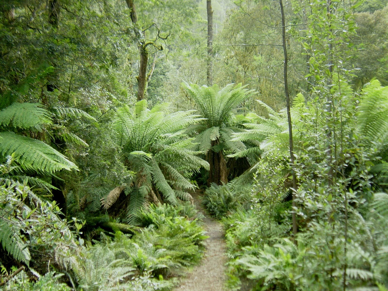
Fernglade Reserve lies a short distance from the city and offers unpaved riverbank tracks, picnic shelters and toilets. The area is known for platypus sightings; view wildlife quietly from the bank and never enter the water after animals. Dogs are prohibited within the entire reserve to protect native flora and fauna.
Vehicle access is restricted from dusk to dawn, and the reserve is open during daylight hours. Seasonal opening times vary: during summer months the reserve is available from early morning until sunset, while in cooler months there are fixed daylight closing times. The reserve contains a lookout reached by a bush track and native orchids have been recorded along the trails. Avoid standing beneath large trees in strong winds.
Romaine Reserve - dam circuit, recent works and dog rules
Romaine Reserve features a formed walking and fitness track that winds around the dam and follows Romaine Creek. The loop connects with suburban entry points and is part of Burnie’s wider foreshore and park network.
Council works to replace bridges and boardwalks through the reserve have been completed, with additional pathway upgrades delivered in stages. If completing the full circuit matters to your plan, check the council project notices before you go since short sections can be temporarily closed during finishing works.
Dogs may be walked along the formed track if kept on a lead, but there is a prohibited zone between the dam wall and the southern end of the pond where dogs are not allowed. The reserve provides accessible facilities, picnic spots, toilets and a drinking fountain at key carpark locations.
Burnie Park and Oldaker Falls - short garden circuits
Burnie Park sits close to the CBD and provides a garden circuit of just under 1 kilometre. The park has playgrounds, an amphitheatre and picnic lawns, and the small urban cascade Oldaker Falls is reached from the circuit. This is a good short-option walk if you want a tidy half-hour stroll or to combine with a longer coastal route.
Paths in the park link to the coastal pathway and other inner-city attractions, making it straightforward to build a longer outing without leaving the city area. Facilities such as toilets and shaded picnic areas make it suitable for families.
Practical checks, etiquette and safety
Shared path etiquette and local rules matter for everyone's safety. Keep to the left on shared paths. Cyclists should slow on busy sections and ride in single file; a bell on the bike is required by law. Pedestrians should remain aware of approaching cyclists and move aside into single file when necessary.
Check dog-zone maps and signage before you travel. Burnie City Council has declared on-lead, off-lead and prohibited zones across reserves and beaches; these maps are updated periodically and some coastal pathway sections and Fernglade Reserve are explicitly dog-prohibited. If you plan to walk a dog, confirm where it is allowed and any local conditions, for example the Romaine formed track allowance and the Romaine prohibited area beside the dam.
If wildlife viewing is your reason for visiting, note special precautions: do not enter water to approach platypus, view quietly from the bank and avoid disturbing nesting or roosting birds. Refrain from feeding ducks and other wildfowl; feeding can harm their health and pollute waterways.
Path surfaces vary from sealed shared paths along the coast to unpaved trails in reserves. Wear footwear suited to mud and uneven ground for riverside tracks and consider rain protection in changeable weather. Some reserves restrict vehicle access at night; check opening hours for Fernglade and other parklands.
Suitability and timing
Most Burnie walks are short or can be broken into sections, making them practical for a half-day outing without leaving the urban area. Families and casual walkers will find Burnie Park and the coastal pathway easiest. Fern Glade and the Romaine dam circuit suit people comfortable with unpaved or fitness tracks; Romaine has accessible sections and provided amenities.
If a continuous loop is essential to your plan, check current project notices for Romaine Reserve before setting out. If you are visiting for wildlife, morning or dusk can increase sighting chances at riverside reserves, but always stay within daylight access hours where those are posted.
Before you go, verify the latest local signage and council notices for temporary closures, dog-zone updates and any staged construction. That will help avoid blocked sections and ensure you follow current restrictions near wildlife habitat.