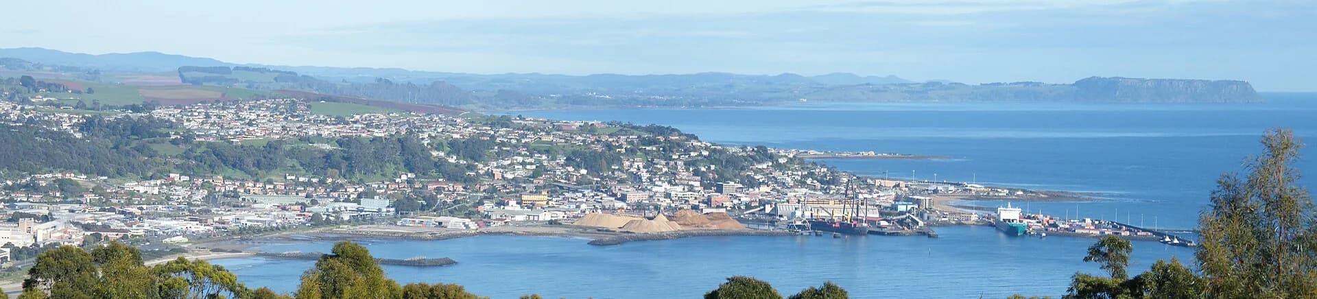

Central pataway / Burnie is compact enough to explore on foot. The waterfront, civic cultural precinct and city centre sit close together, while Burnie Park is a longer but manageable walk west. This guide focuses on places that can be linked without turning the day into a regional drive.
Begin at West Beach and the waterfront
West Beach is one block from the central business district. The foreshore has paths, play and picnic facilities, and links west towards the little penguin habitat. Swimming conditions still need an on-the-day assessment because the beach is open to Bass Strait weather.


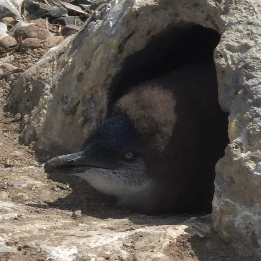
At Parsonage Point, the Little Penguin Observation Centre has level access and a viewing platform. Volunteer interpretation normally operates at dusk from October to March. Use no flash, keep noise low and follow the guides so birds can reach their burrows.

Give the cultural precinct real time
Burnie Arts Centre at Wilmot Street presents exhibitions, performance and community programs. The Burnie Regional Museum nearby uses Federation Street and its collection to interpret the city's social and industrial history. Programs and opening hours can differ, so check both before setting out.
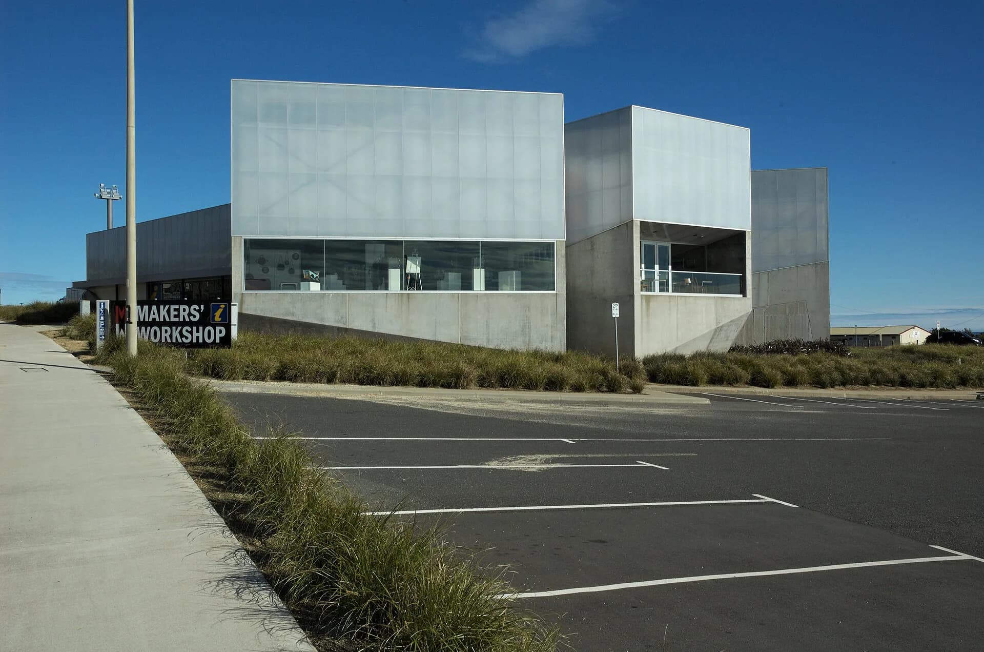

The renewed civic precinct makes these useful wet-weather stops, but neither should be treated as a quick photo stop if the exhibitions are the main reason for visiting.
Finish at Burnie Park
Burnie Park lies west of the centre beside the Bass Highway. It has lawns, picnic facilities, toilets, playgrounds and paths to Oldaker Falls. The waterfall is a short urban walk rather than a wilderness hike, though wet surfaces still require care.
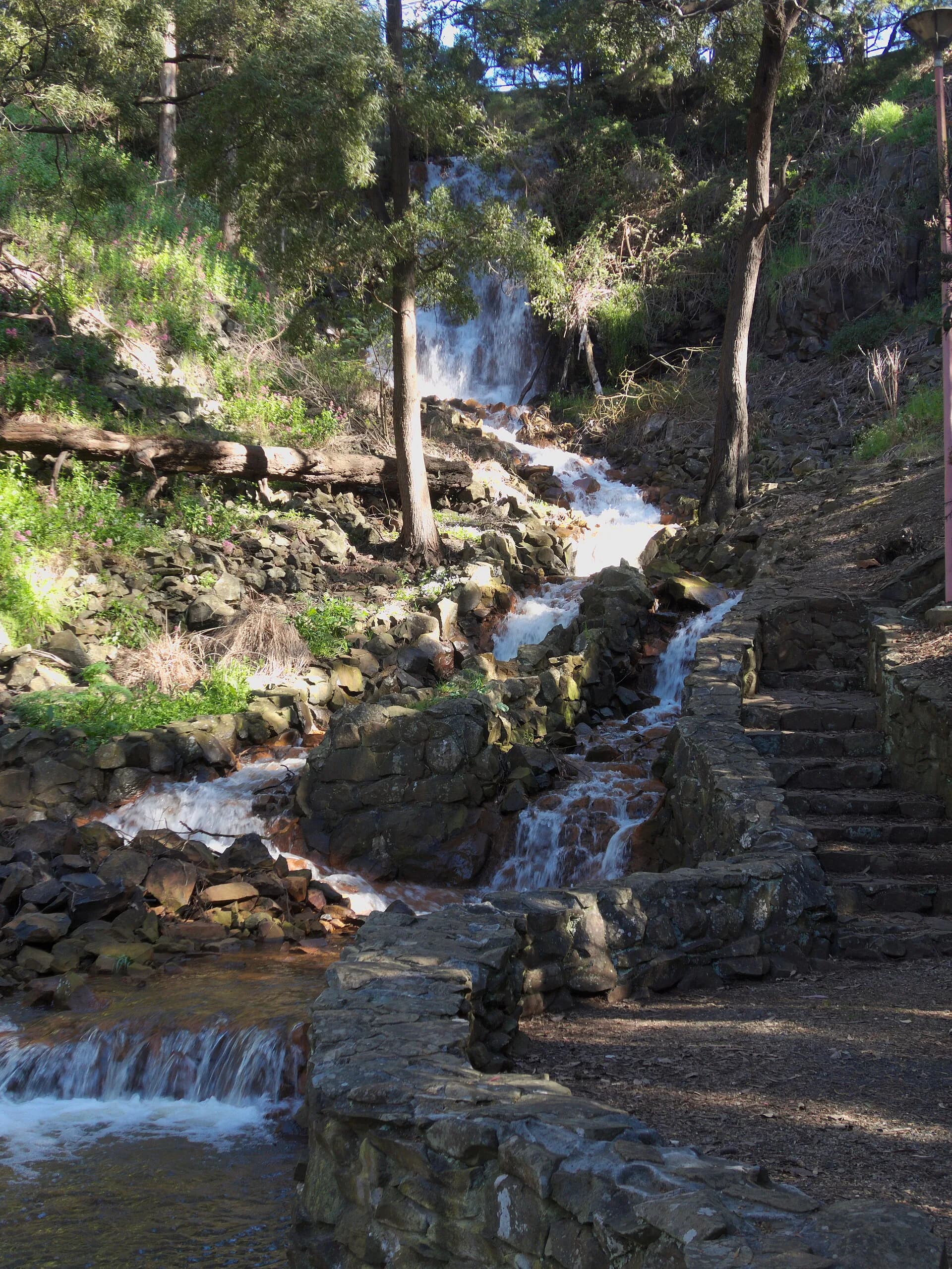

Allow 20 to 30 minutes each way from the centre depending on the route and your pace. The Burnie guide covers the city as a base, Burnie’s beaches extends along the shore, and Beyond Central Burnie covers places that need transport.