
Plan and check track status before you go
Always confirm current track status, closures, booking and permit requirements with the land manager rather than relying on old blogs or lists. Parks and Wildlife Service (PWS) maintain alerts and park notices; visitor centres provide the latest local information. Match the hardest section of your intended route to the least experienced person in the group and be prepared to change plans if conditions or notices indicate restrictions.
Choose by track grade and group capability
PWS uses the Australian Walking Track Grading System to describe difficulty. Grade 1 walks are flat, even surfaces suitable for people with limited bushwalking experience. Grade 2 tracks are mostly hardened surfaces with gentle hills. Grade 3 tracks may be rough with short steep sections and steps. Grade 4 is for walkers with bushwalking experience; routes can be long, steep and have limited signage. Grade 5 routes are suitable only for very experienced walkers with navigation and emergency first aid skills. Use the grade to choose a route that suits fitness, skills and navigation ability.
Pack to cope with rapid weather change and delays
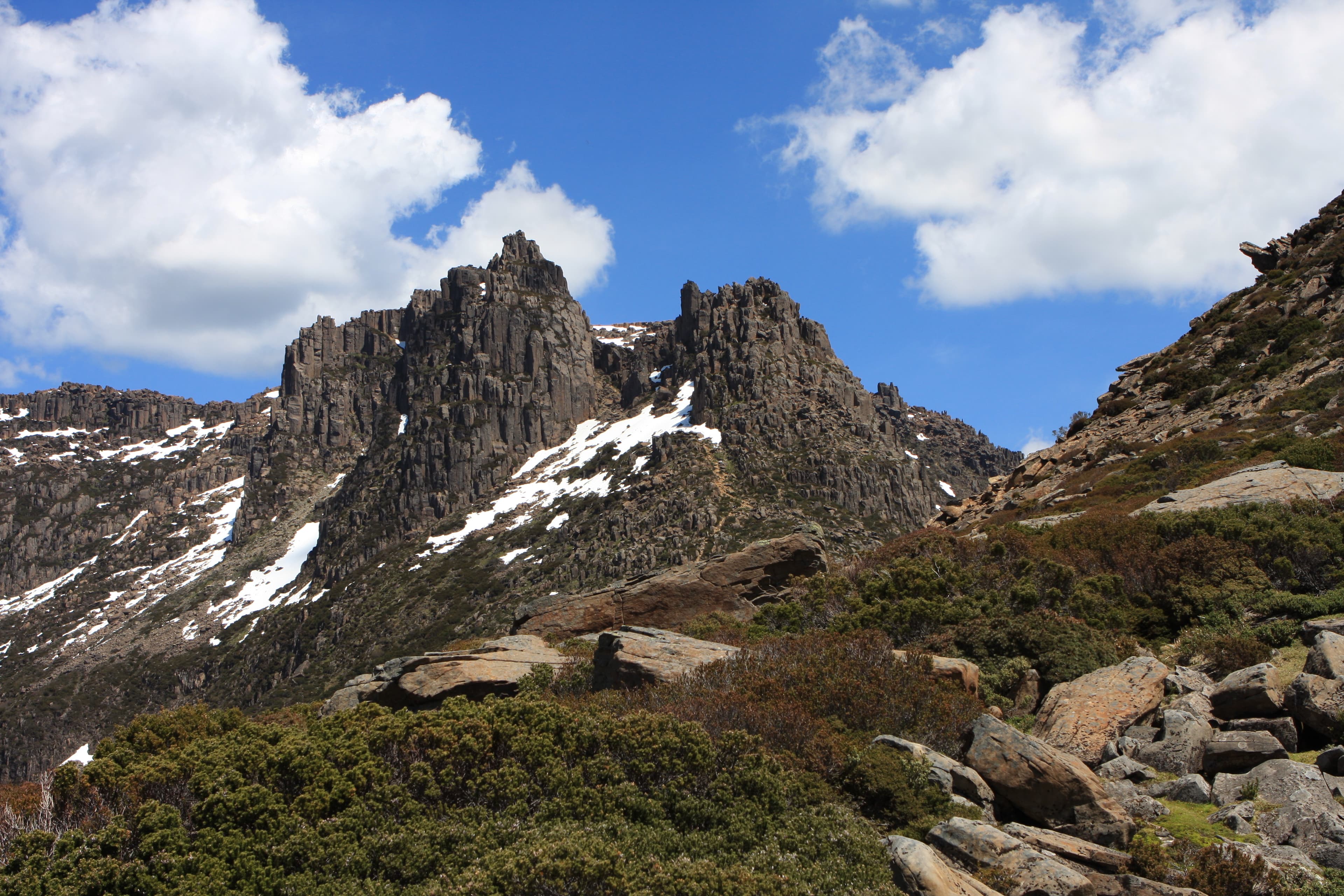
Tasmanian mountain weather can change quickly; snow, hail, rain, wind and sun are possible at any time of year. For day walks carry a weatherproof jacket, warm hat, sun protection, sufficient water and high-energy food. For alpine walks add thermal layering, seam-sealed waterproof overtrousers and a hooded storm jacket. Multi-day walks require a 3-4 season tent, sleeping system rated for alpine conditions, stove and fuel, and a larger waterproof pack with a pack liner. A printed map is essential: mobile phone coverage cannot be relied upon in remote areas.
Navigation, communications and emergency preparedness
Carry a map and ensure someone in your group can use it. A Personal Locator Beacon (PLB) is strongly recommended for remote routes. PLBs can be hired from Service Tasmania shops (weekdays) in the main centres and from certain visitor centres, though visitor-centre stock is limited and cannot always be reserved. Tell a reliable person your intentions and expected return, and record trip details in log books where they are available. If you are overdue, have a plan for who will report you. Be prepared to turn back or change plans if the weather deteriorates.
Fire, planned burns and other alerts to check
Before you head out check current fire information and planned burns. Tasmania Fire Service and PWS publish alerts and fire danger ratings you should monitor as part of trip planning. Include refuge areas in your plan in case of bushfire and know campfire and fire-ban rules for the park you will visit. Heed advice at track heads and check in at visitor centres for the latest local warnings before setting out.
Biosecurity and looking after tracks and water
Help limit the spread of root-rot fungus and other pests by cleaning mud from boots, equipment and vehicles before and after visiting sensitive areas. Use provided toilets where they exist and carry out your waste if not. Stay on hard surfaces and formed track where possible to avoid widening muddy sections. Follow camp-site etiquette and local fire restrictions to reduce impact.
Practical checks on the day
Check the latest weather forecast and the PWS alerts list before you leave. Record trip intentions, carry basic first-aid and an emergency space blanket, and ensure footwear is worn in before the walk. Avoid walking alone where possible. If trackhead signage or staff advise against a route or show new hazards, change plans; PWS advises flexibility and conservative decision-making when conditions change.
Registration, maps and hiring equipment
Some multi-day routes require registration before departure. Printed topographic maps are available from TASMAP and are recommended for remote walking. If you do not own a PLB, look into hire options from Service Tasmania or visitor centres near major parks. Consider hiring specialised gear if you lack experience with alpine tents or stoves.
On-track behaviour and group management
Plan to walk within the capability of the whole group. Assign a person to lead navigation if they are experienced with map and compass. Keep to formed tracks and minimise widening of muddy sections. Carry rubbish out and follow site instructions for water use. If someone in the group struggles or weather turns, stop, reassess and be prepared to retreat to safer ground.
Final reminder
Conservative choices reduce risk on Tasmanian tracks. Use the official PWS alerts and visitor-centre advice, carry appropriate clothing and navigation, consider a PLB for remote trips and respect biosecurity and fire rules. These steps improve safety and help preserve the places you have come to walk in.