.png)
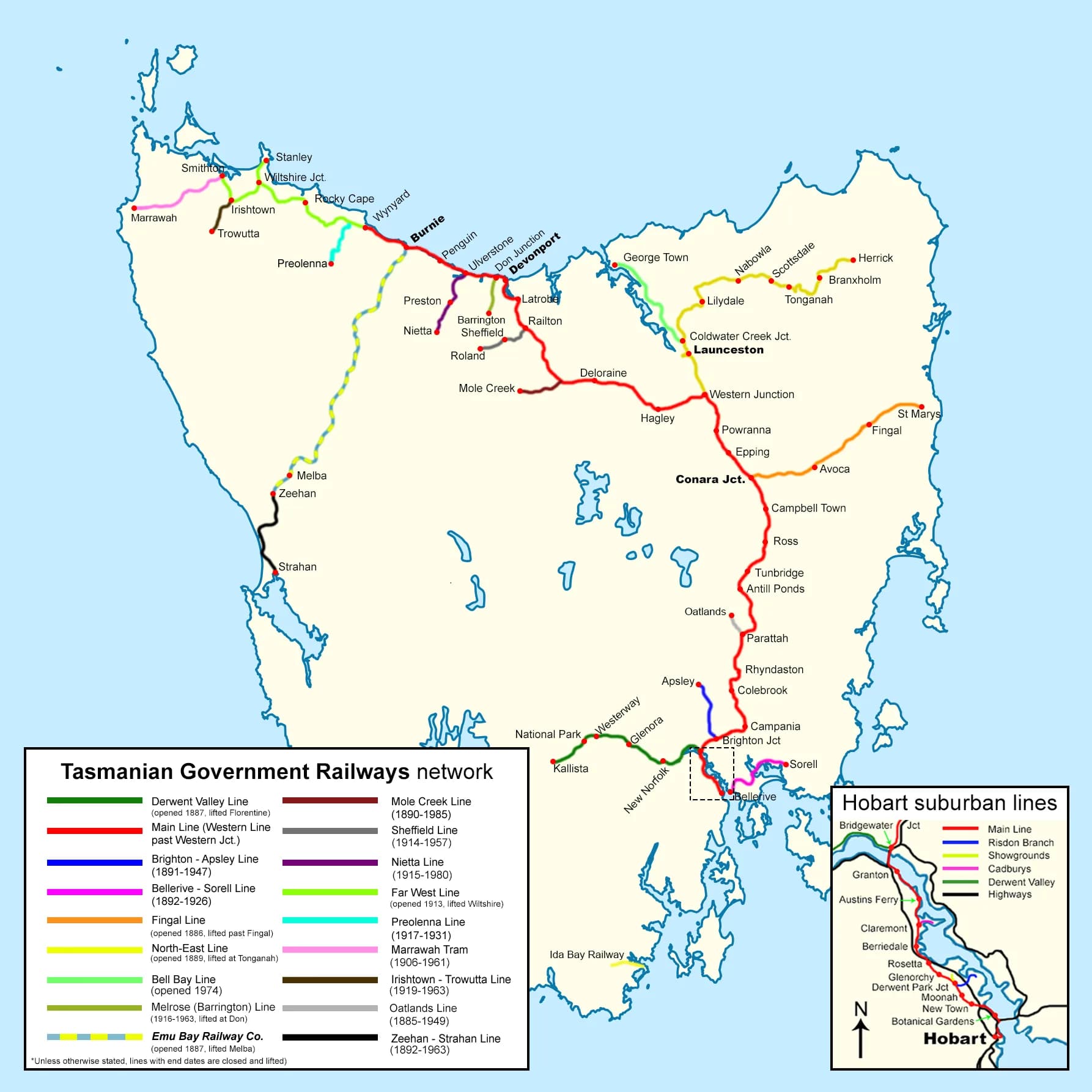
Tasmania’s railway map once reached mining towns, farming districts, ports and suburbs that no longer have a train service. Closed routes remain visible in cuttings, bridge piers, station buildings and unusually straight property boundaries.
A network built for freight and settlement
The main nineteenth-century routes connected Hobart, Launceston and the north-west coast. Branches later served places including Scottsdale, Oatlands, Apsley, Tullah and the Derwent Valley. Different promoters and difficult terrain produced a network whose fortunes followed mines, mills, farms and ports.

Passenger rail ended before the tracks disappeared
Regular intercity passenger services ceased in 1978. Freight continued on core corridors, while low-volume branches closed or were truncated. A disused line can still be railway land, private property or an unsafe structure. Do not treat rails, tunnels or bridges as public access unless the responsible manager explicitly permits it.

Where railway history can be visited
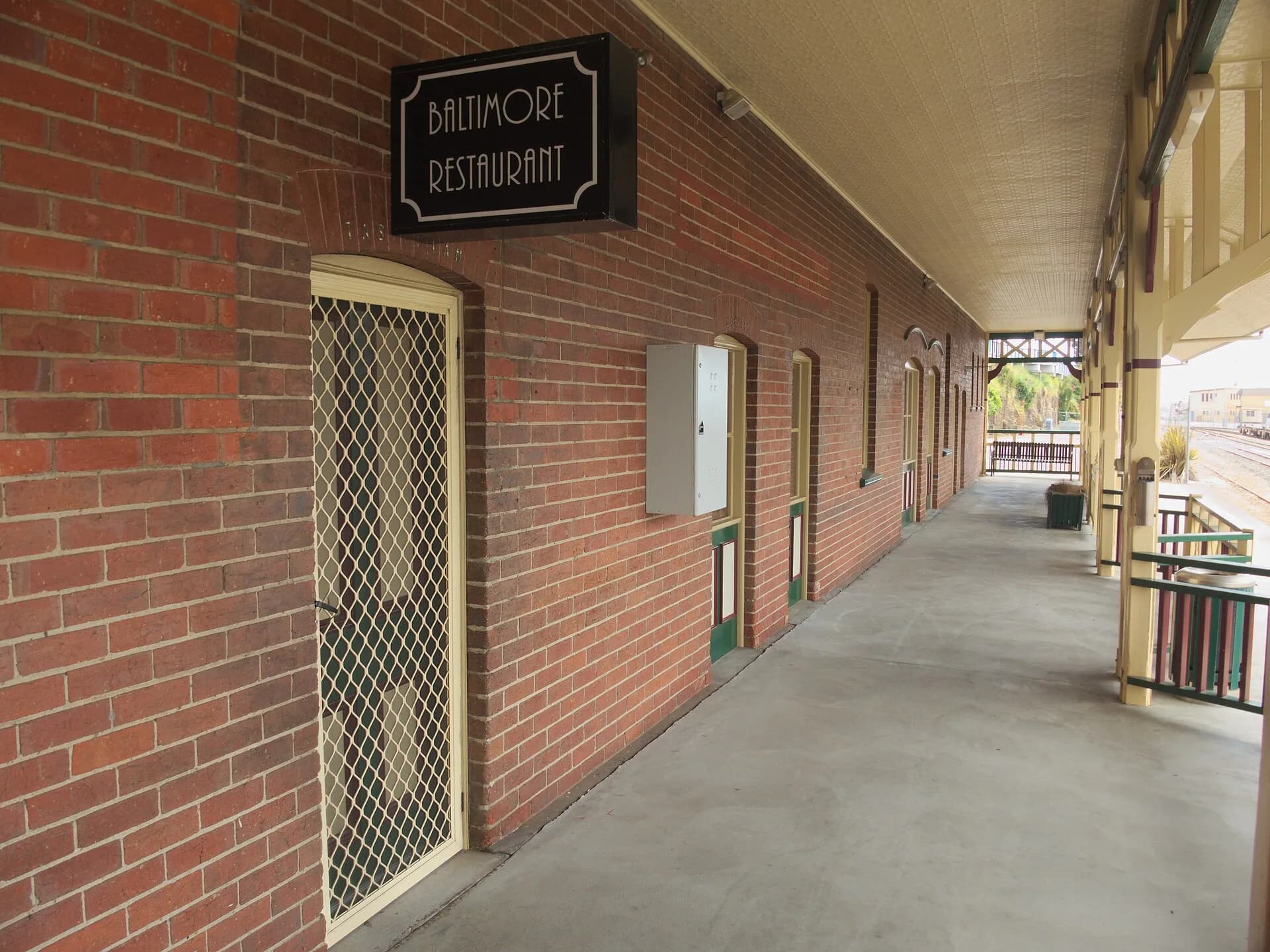
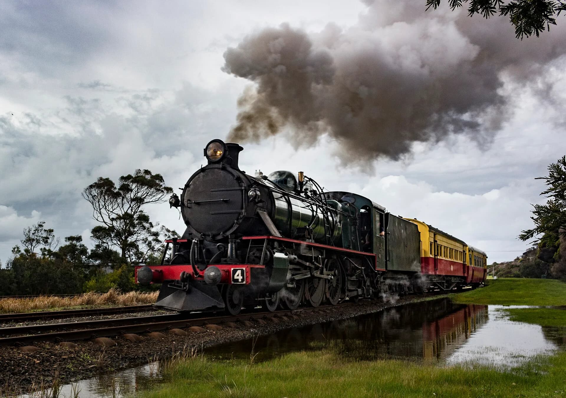
Accredited heritage operators and museums are the safest places to encounter rolling stock and working railway practices. Check current operating dates directly because volunteer services and infrastructure work can change timetables.

The Burnie railway history explains the west-coast mineral connection, while the North-East railway follows one branch in detail. Hobart’s lost passenger network has its own railway history guide.