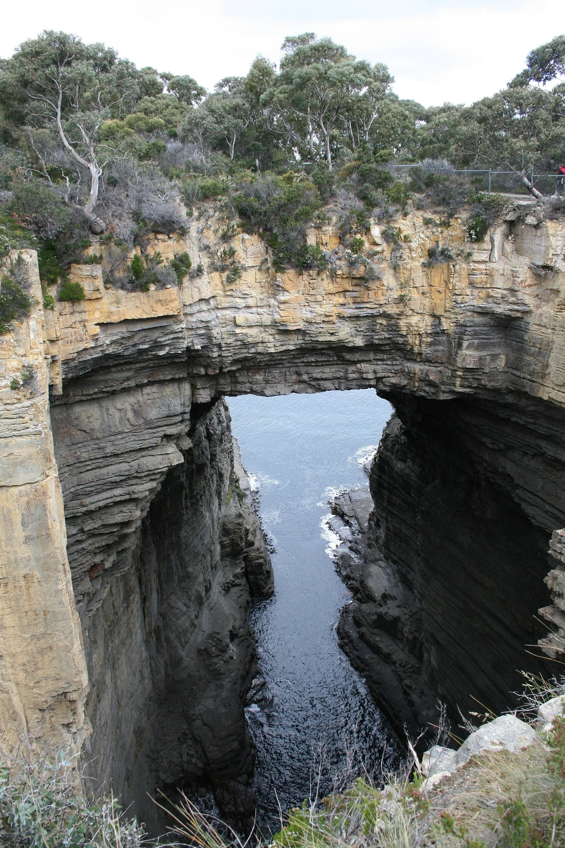

Tasmania’s headlands range from layered sedimentary bluffs to immense dolerite sea cliffs. Their form reflects rock type, uplift, faulting and continuing erosion, while their names often preserve only the most recent colonial layer of much older Aboriginal Country.
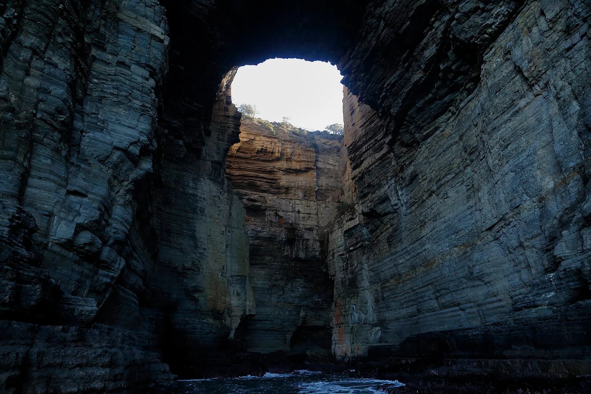
Dolerite creates high, jointed walls
The Tasman Peninsula and parts of Bruny Island expose tall dolerite columns and cliffs. The same fractures that create dramatic walls also produce rockfall and unstable edges.
.jpg)
Western capes meet powerful swell
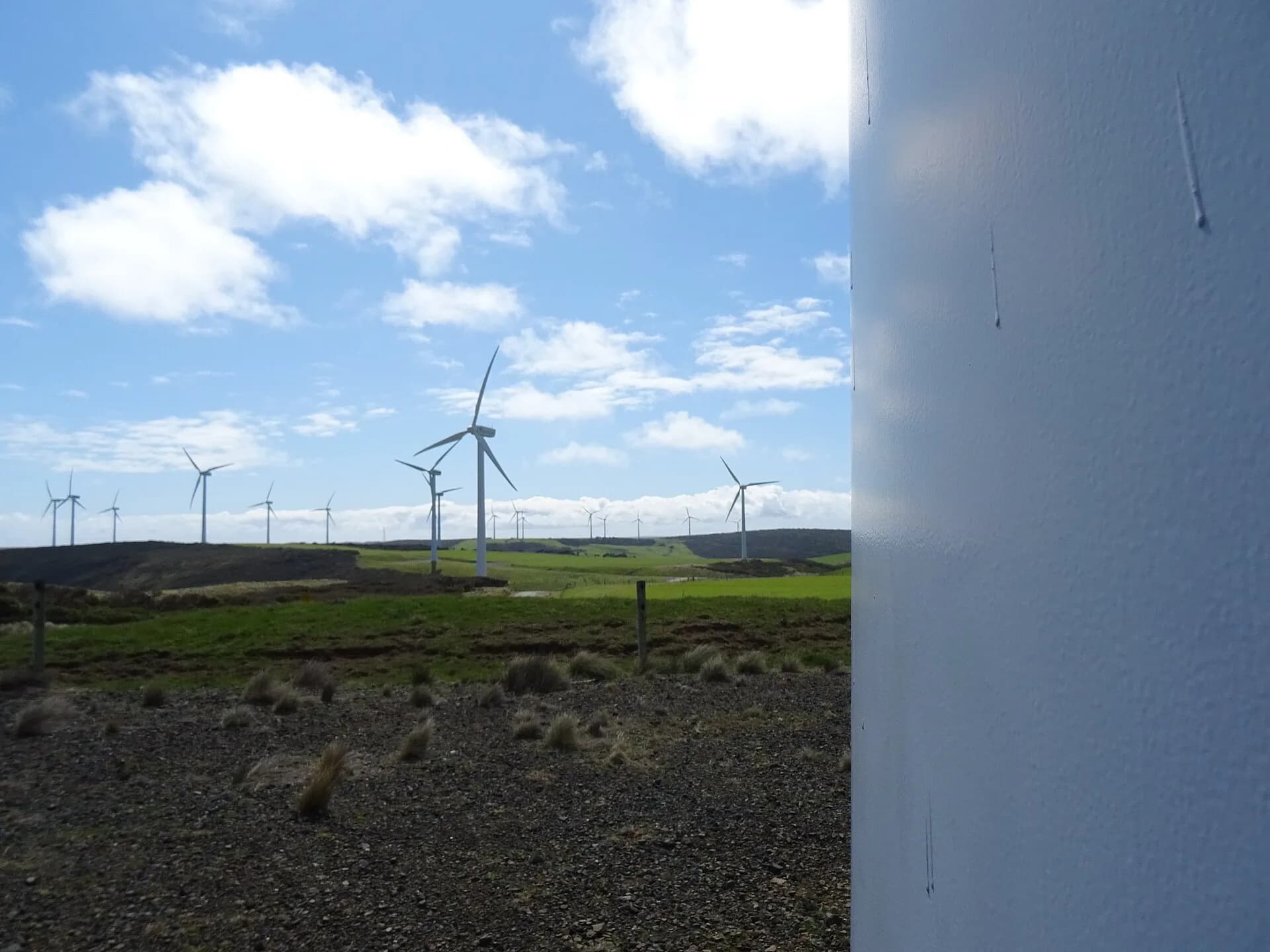
Cape Grim, the far north-west and the Southern Ocean coast experience strong wind and long-period swell. Many viewpoints lie on private, managed or culturally sensitive land, so public access must be confirmed.
.jpg)
A bluff is not a viewing platform
Use formed lookouts, keep behind barriers and avoid undercut edges. Fog and gusts can remove visual cues quickly. Never follow an informal social-media path across closed land.
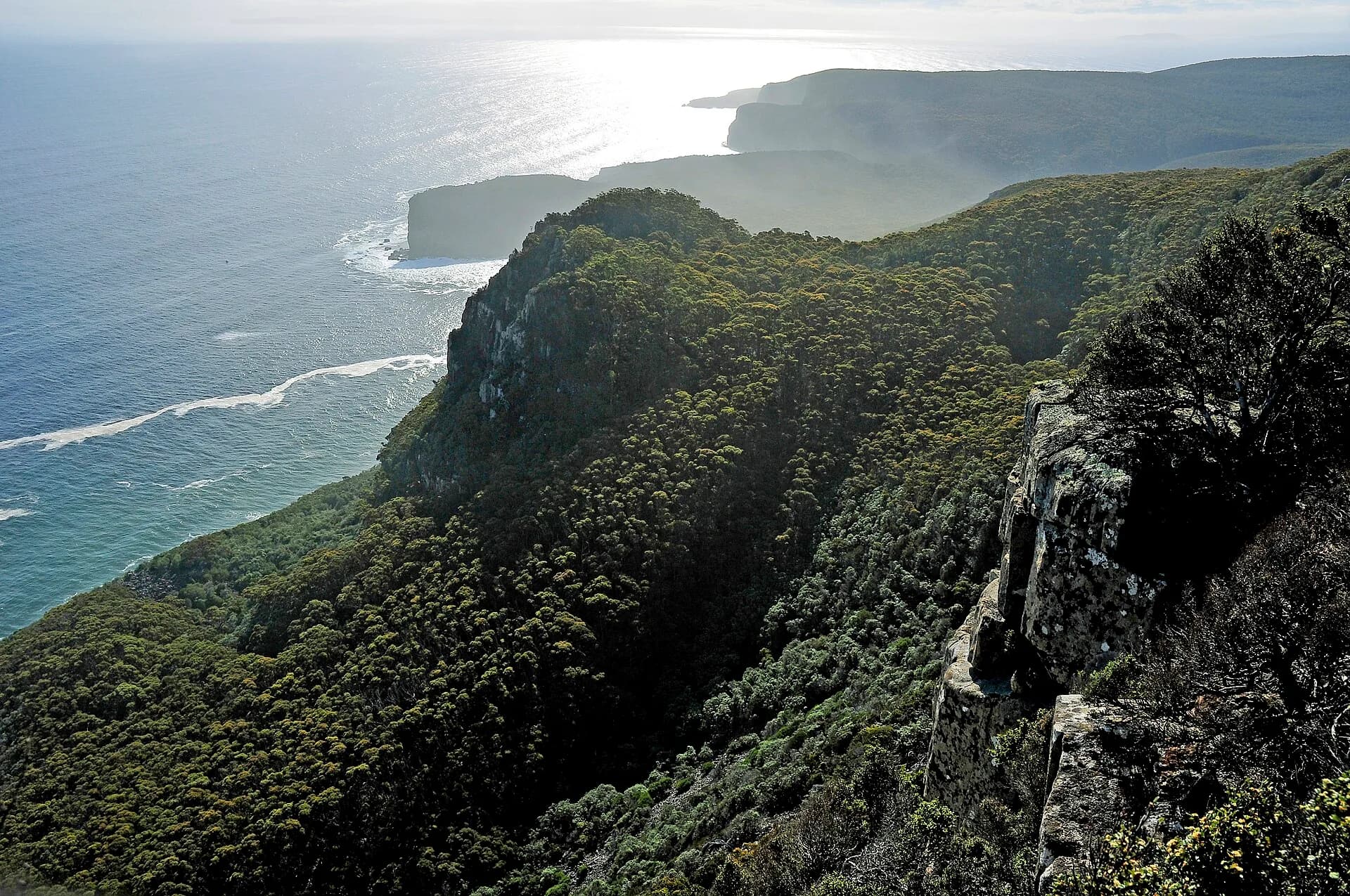

The sea caves and arches guide explains related erosion features. Use the Tasman Peninsula guide for managed cliff viewpoints.