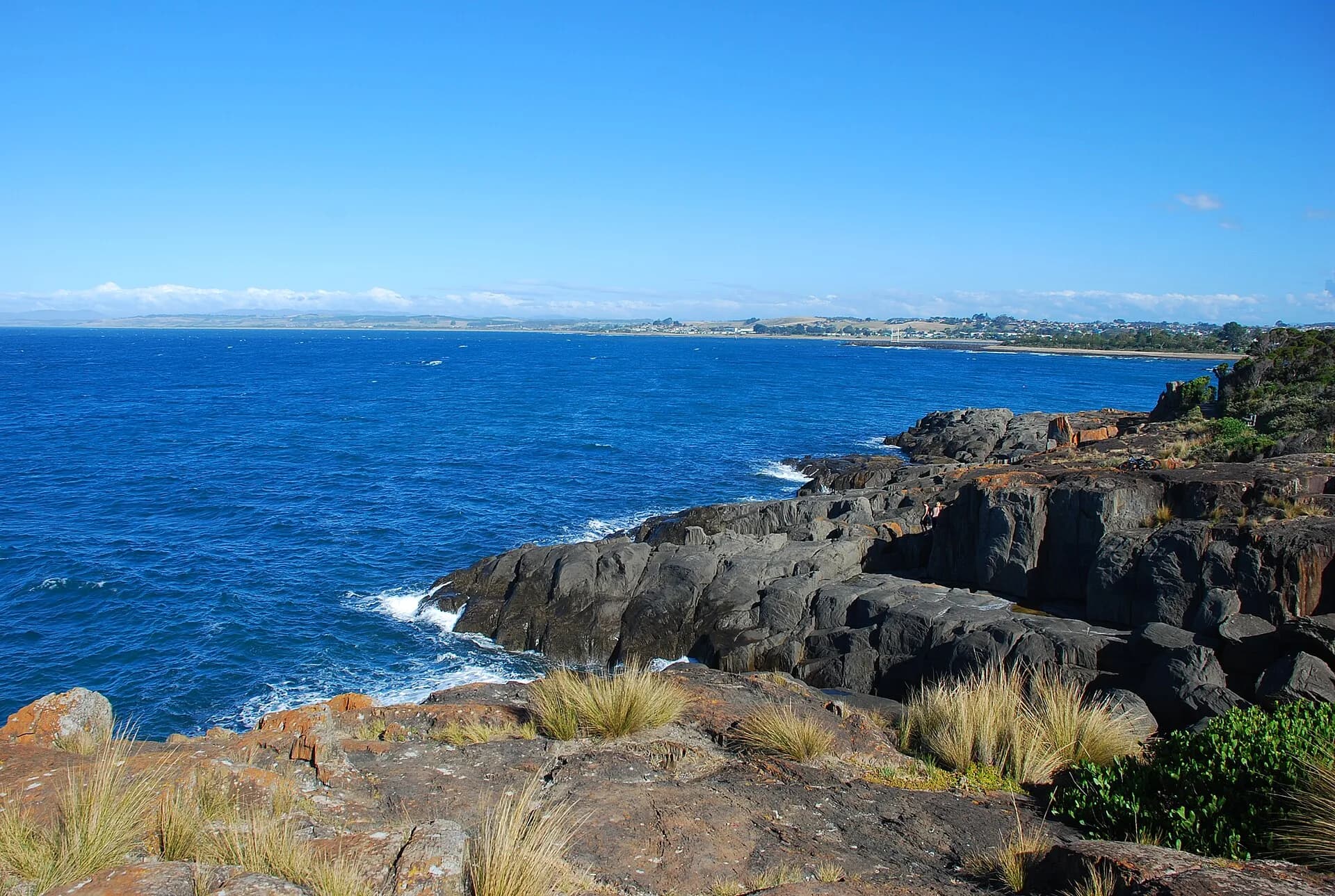

Created from Chaos is a self-guided geological route along roughly 60 kilometres of the north-west coast between Mersey Bluff at Devonport and Table Cape near Wynyard. Its stops expose rock and landforms from very different periods rather than one continuous walking track.
Begin with the coastal platforms
Mersey Bluff and Don Heads show how hard rock, lava flows and marine erosion shape the present coast. Never cross wet platforms or move around a headland without checking tide, swell and a safe return.
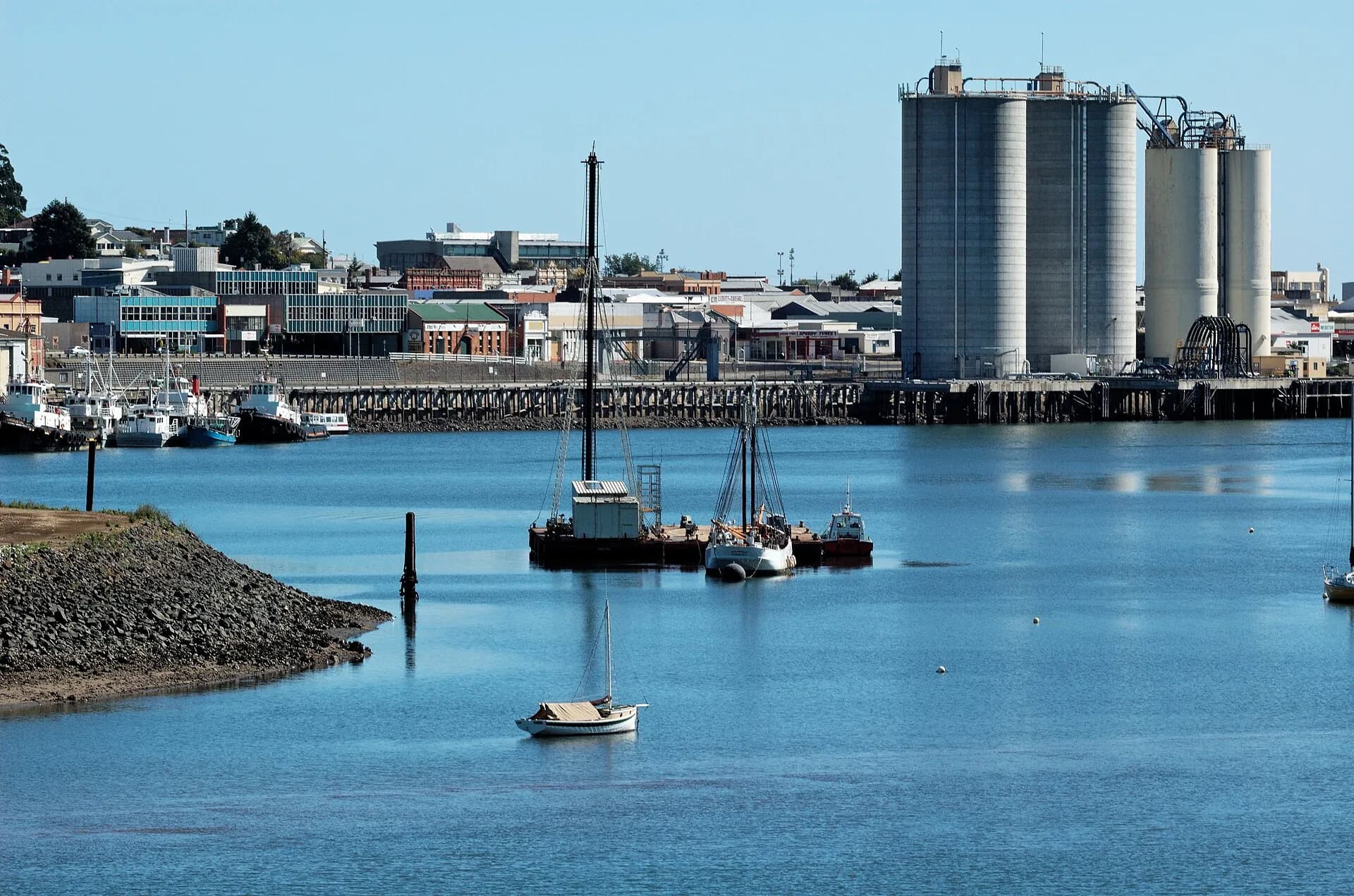

Read one site at a time
Stops around Sulphur Creek, Burnie and Doctors Rocks include folded rocks, volcanic structures, intrusions and glacial deposits. Old interpretive panels can weather or disappear, so carry current route information and do not rely on finding every sign.
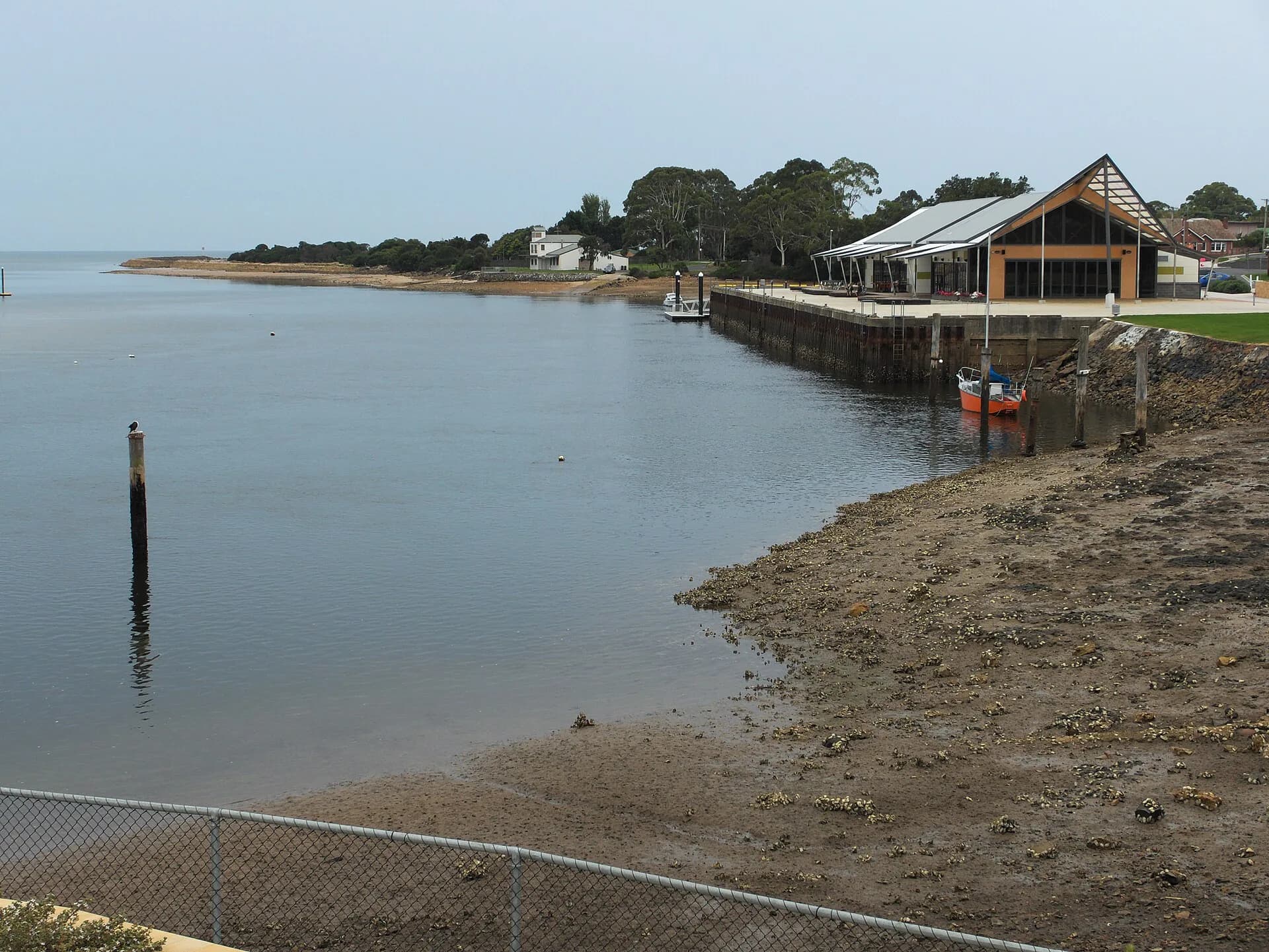

Finish in a younger volcanic landscape
The Wynyard end includes coastal exposures below Table Cape, a prominent remnant of volcanic activity. Cliffs, private land, rail corridors and active roads restrict where it is safe and lawful to stop.
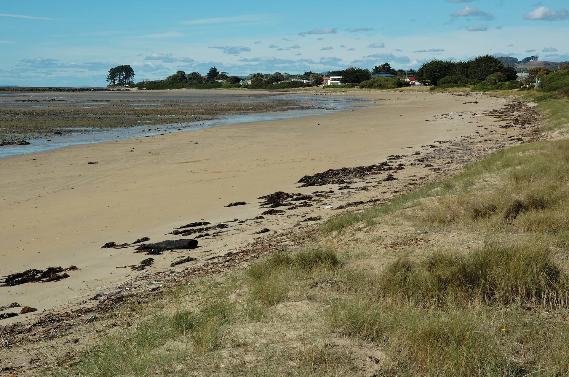

Use Devonport, Burnie and the Central Coast beaches as practical bases. A geotrail is for observing in place: do not hammer, collect or remove material from protected or culturally sensitive sites.