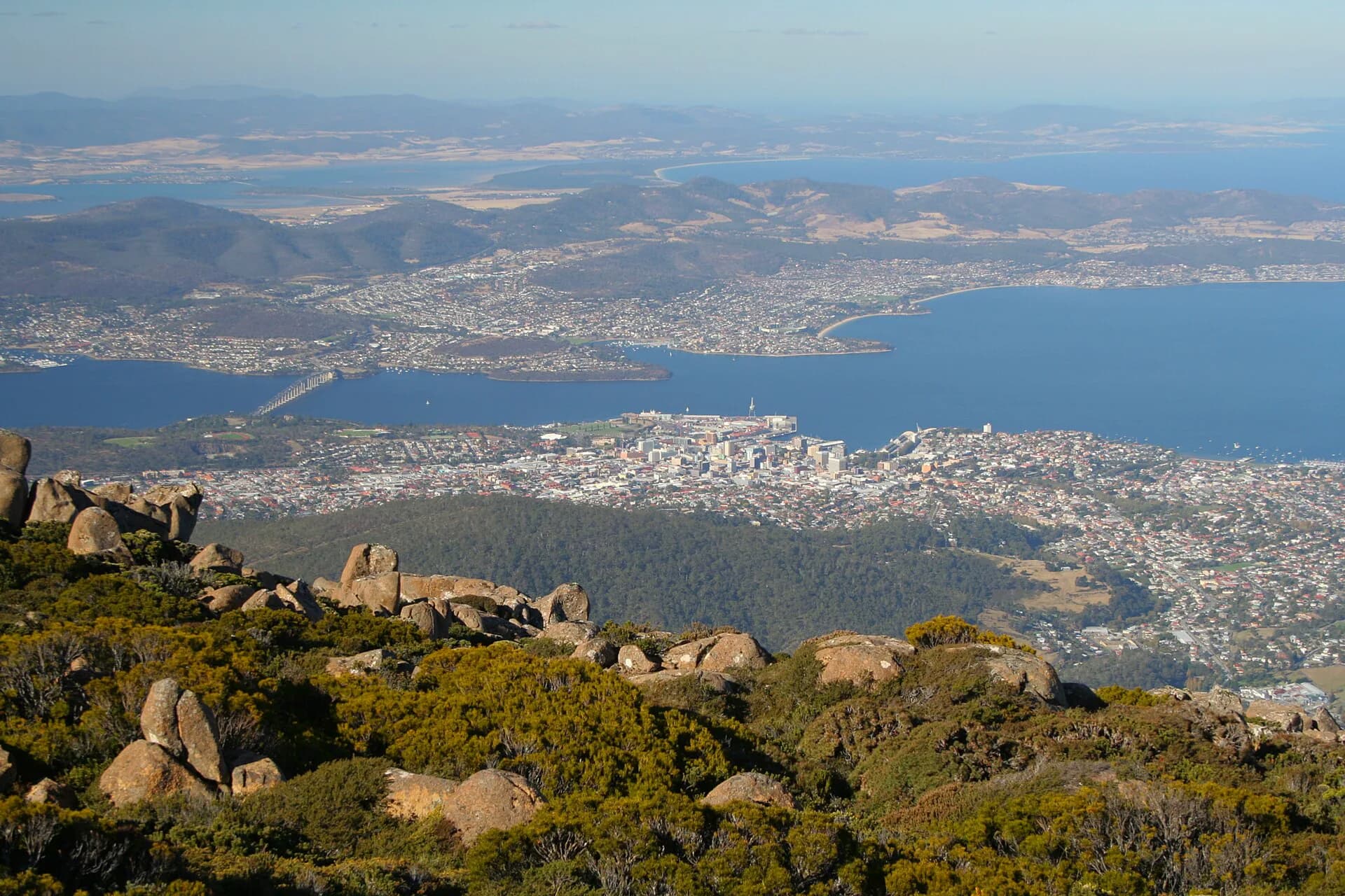

Greater Hobart spreads around the River Derwent across several council areas. Suburb names are useful for navigation, but the city’s river crossings, ridges and rivulets often explain travel better than an alphabetical list.
Central and inner west
The City of Hobart includes the centre, Battery Point, South Hobart, West Hobart, North Hobart, New Town, Sandy Bay, Lenah Valley and Taroona, among others.

Northern suburbs
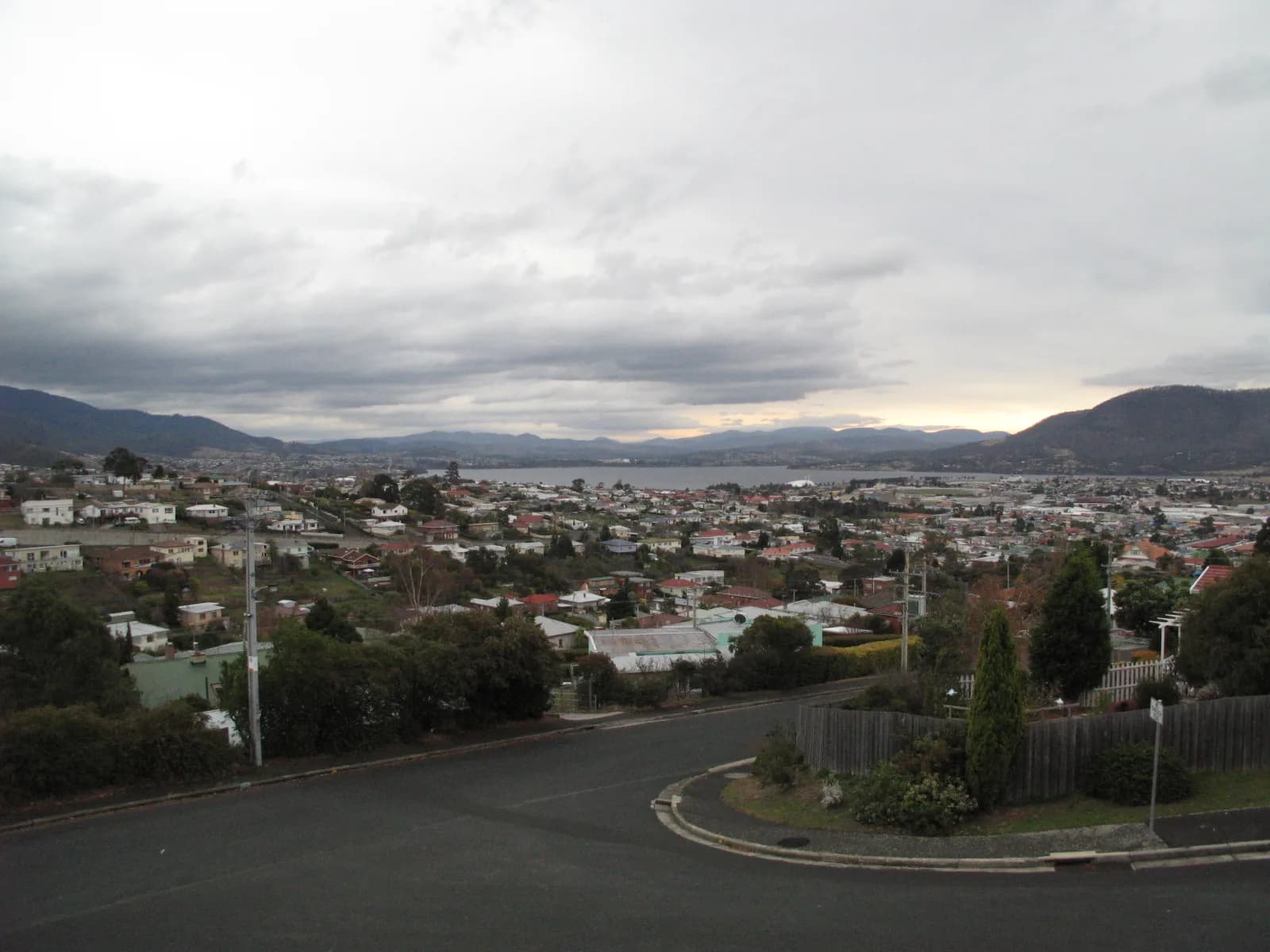
Glenorchy, Moonah, Lutana, Austins Ferry and Granton follow the flatter northern corridor and western river shore. Industrial land, housing and former rail alignments shape movement.
Eastern shore
Clarence suburbs include Bellerive, Howrah, Lindisfarne, Rosny, Warrane and Lauderdale. The Tasman Bridge concentrates cross-river road and bus travel.

South and Kingborough
Kingston, Kingston Beach, Blackmans Bay and Margate form the southern urban corridor. They are separate centres rather than walkable extensions of central Hobart.
Use official LISTmap and council boundaries for exact addresses. Postal locality, suburb, municipality and everyday neighbourhood names do not always align. Choose accommodation by actual transport needs, not only distance from the centre.