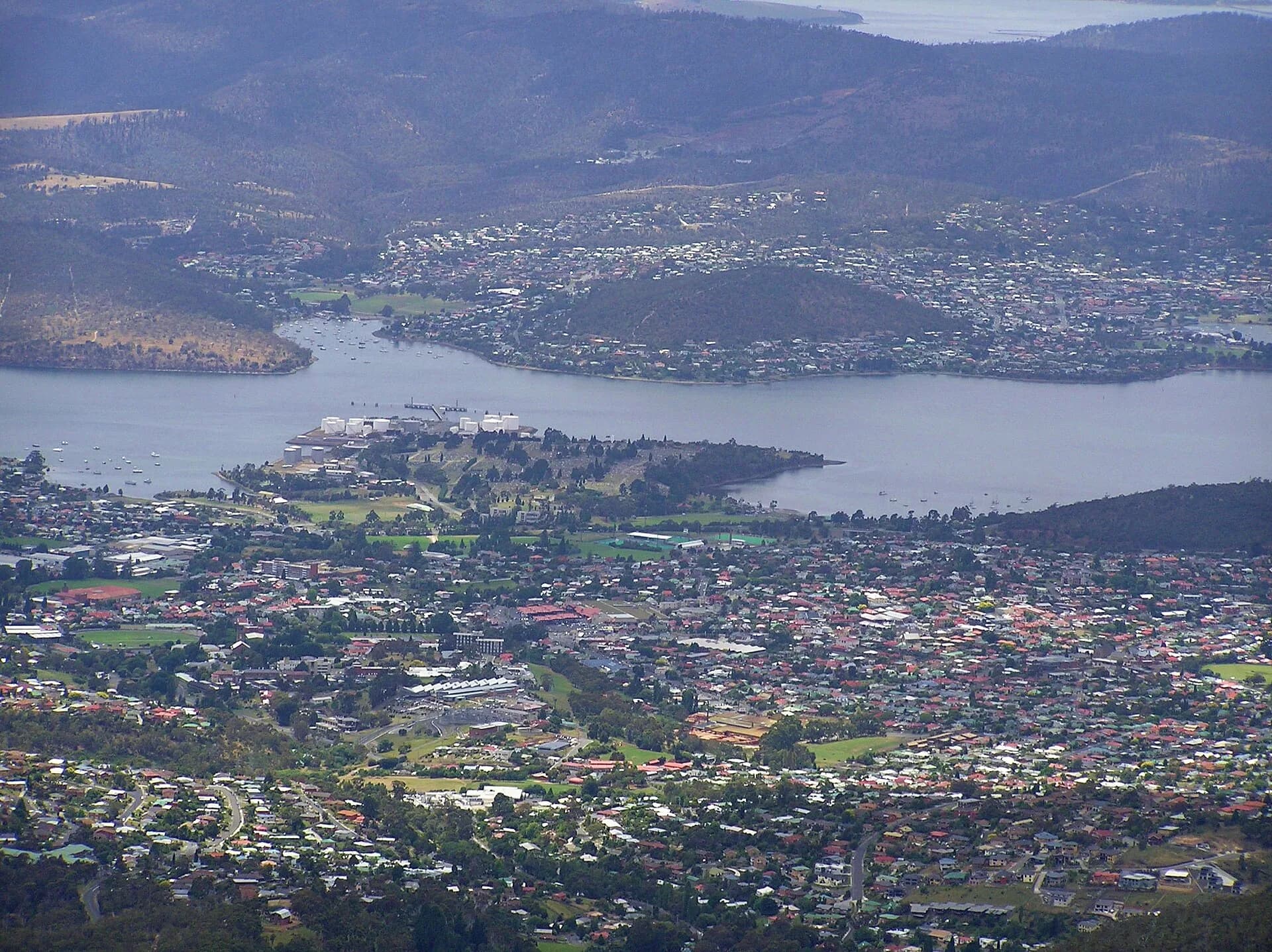

New Town developed north of central Hobart along routes leading into the Derwent Valley and northern districts. It is often called one of the city’s first suburbs, but the label can hide a varied landscape of Aboriginal Country, farms, institutions, villas, workers’ housing, shops and transport corridors.
Water, land and early settlement
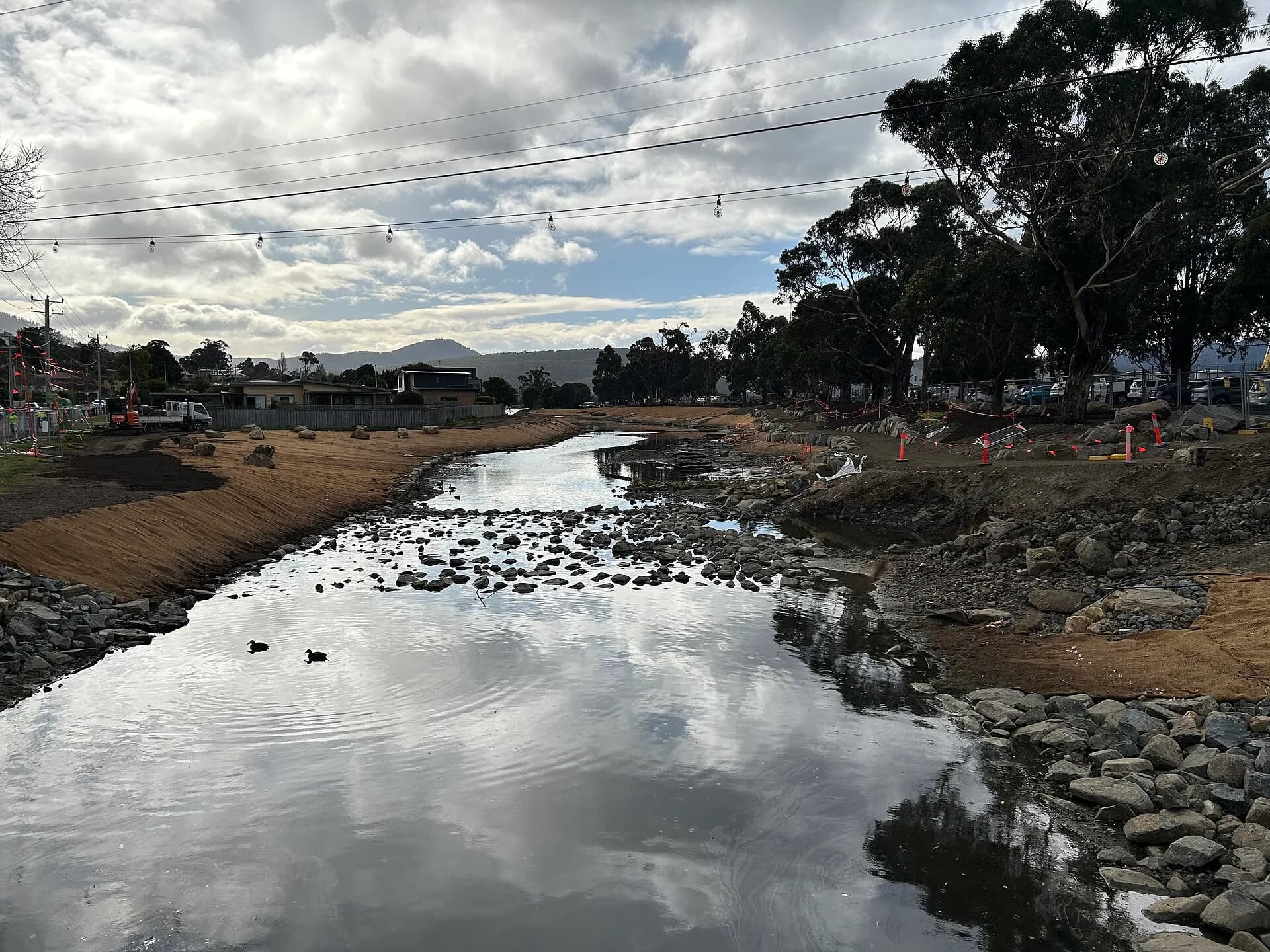
The New Town Rivulet descends from the foothills towards the River Derwent. Water and cultivable ground drew early colonial farms and gardens, while the main road made the district accessible from Hobart Town. The suburb grew in pieces rather than from one complete plan.
Large properties were gradually subdivided. Older houses and garden remnants can therefore sit close to twentieth-century flats, commercial strips and postwar homes. The City of Hobart’s heritage review treats the wider pattern, including views, vegetation and lot form, as well as individual buildings.

The Orphan Schools and St John’s Park
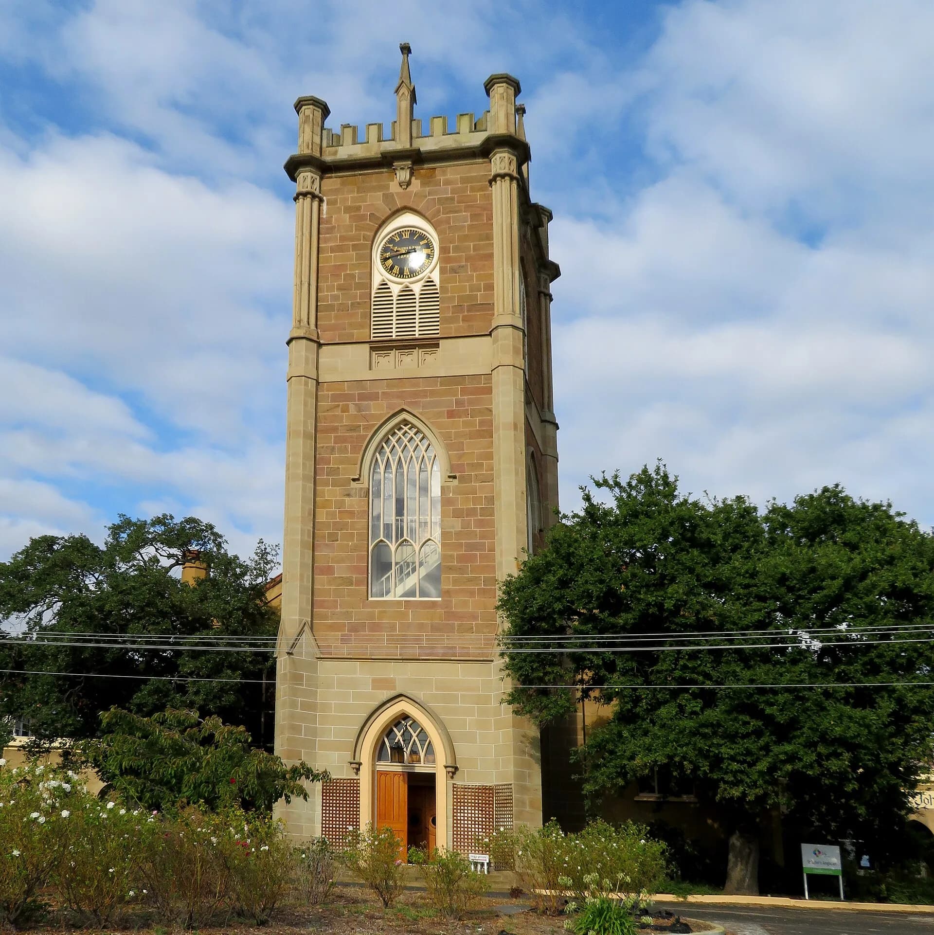
The Orphan Schools complex became one of New Town’s defining institutions. Heritage Tasmania records the opening of the girls’ school in 1833, followed by the boys’ wing, with later additions for infants and other institutional uses. The site was repeatedly adapted as ideas about welfare, punishment and health changed.
These buildings should not be read only as architecture. They represent the lives of children and adults placed under government and charitable control. Later uses included care for people who were elderly, ill or destitute. Surviving fabric at St John’s Park reflects several periods rather than a single original institution.

Villas, cottages and the main road
New Town attracted substantial villas on larger grounds, while smaller houses developed around employment and transport. Bay Road, New Town Road and connecting streets became busy suburban routes. Runnymede, now held by the National Trust, is one prominent house, but the district’s historical character also depends on ordinary cottages, shops and gardens.
Trams and later buses supported closer links with central Hobart. As car traffic increased, the main road became both a shopping street and a transport corridor. This helps explain why the experience of New Town differs sharply between its commercial spine and quieter side streets.
Exploring New Town
The public streets around St John’s Park, the rivulet corridor and older residential areas offer the clearest overview. Check access conditions before entering institutional or managed sites. Many significant places remain in active use, and private houses should be viewed from public space.
For a particular property, begin with the Tasmanian Heritage Register and the City of Hobart’s heritage material. Then use historical maps and directories to test construction dates and occupants. The Hobart Rivulet guide provides wider context for the small waterways that shaped settlement and industry across the city.