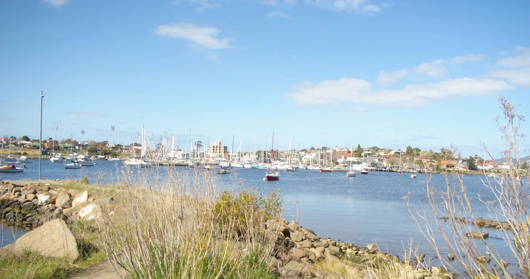
_Bellerive_2012.jpg)
Bellerive sits around Kangaroo Bay on Hobart’s eastern shore. The suburb combines a historic village centre, marina, sports precinct, ferry landing and a coastal path towards Howrah.
Kangaroo Bay and the village
Begin at the public waterfront. Reclaimed land, former railway infrastructure and ferry connections explain the shape of the bay. The City of Clarence heritage walk follows about three kilometres through the older centre.
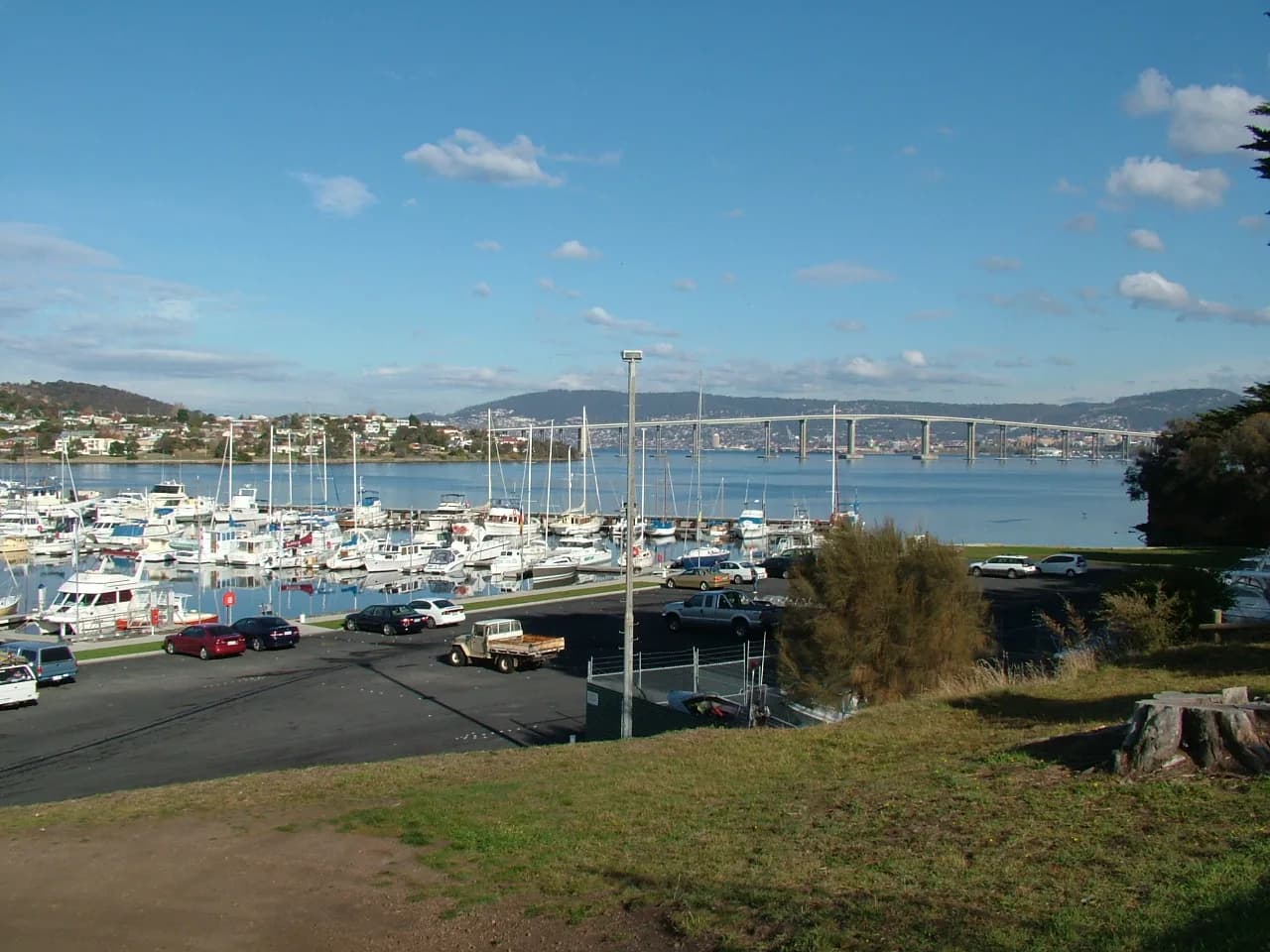

Queen Street, the former watch house, churches and private homes show Bellerive’s nineteenth-century growth. View houses from public paths and remember that many heritage buildings serve new community or commercial uses.
Beach and bluff
Bellerive Beach curves east from the bluff. Shared paths continue along the coastal reserve towards Howrah, with dunes and vegetation requiring formed access.
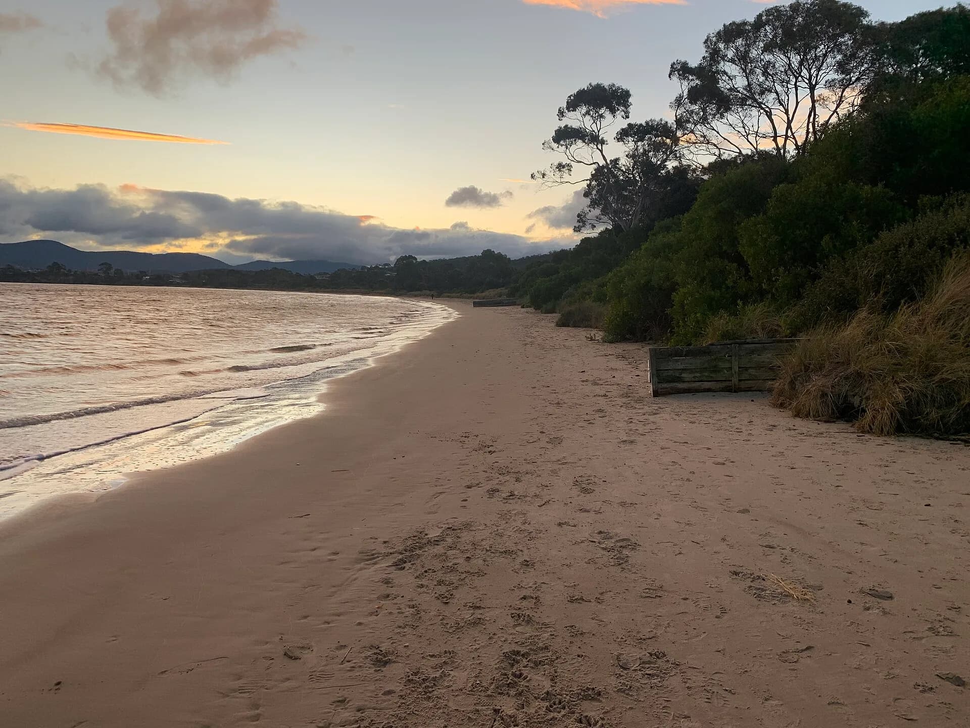

Water quality, wind and dog restrictions vary. Check current council and EPA information, especially after rain.
Getting there
Ferry services can make Bellerive a useful car-free half-day from central Hobart, but timetables change. Buses and cycling routes provide alternatives. Event days at the stadium alter parking and traffic.
Combine the village walk with Howrah or compare Bellerive’s waterfront history with Lindisfarne.