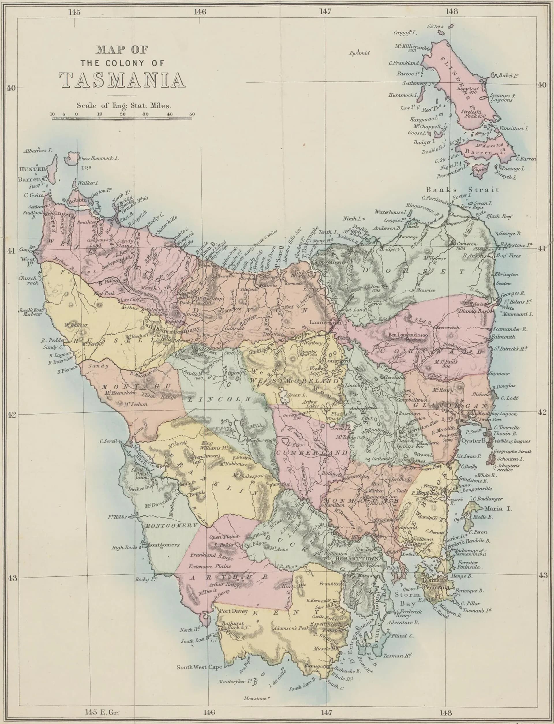

Tasmania is Australia’s island state, separated from the mainland by Bass Strait. The main island is surrounded by many smaller islands and contains sharp regional differences in climate, settlement, geology and access.
lutruwita / Tasmania
Tasmanian Aboriginal people have lived across these lands and waters for tens of thousands of years. Colonisation brought invasion, dispossession and violence, while Aboriginal communities and cultures continue. Use Aboriginal place names from authoritative community and government sources.
Regions are practical tools
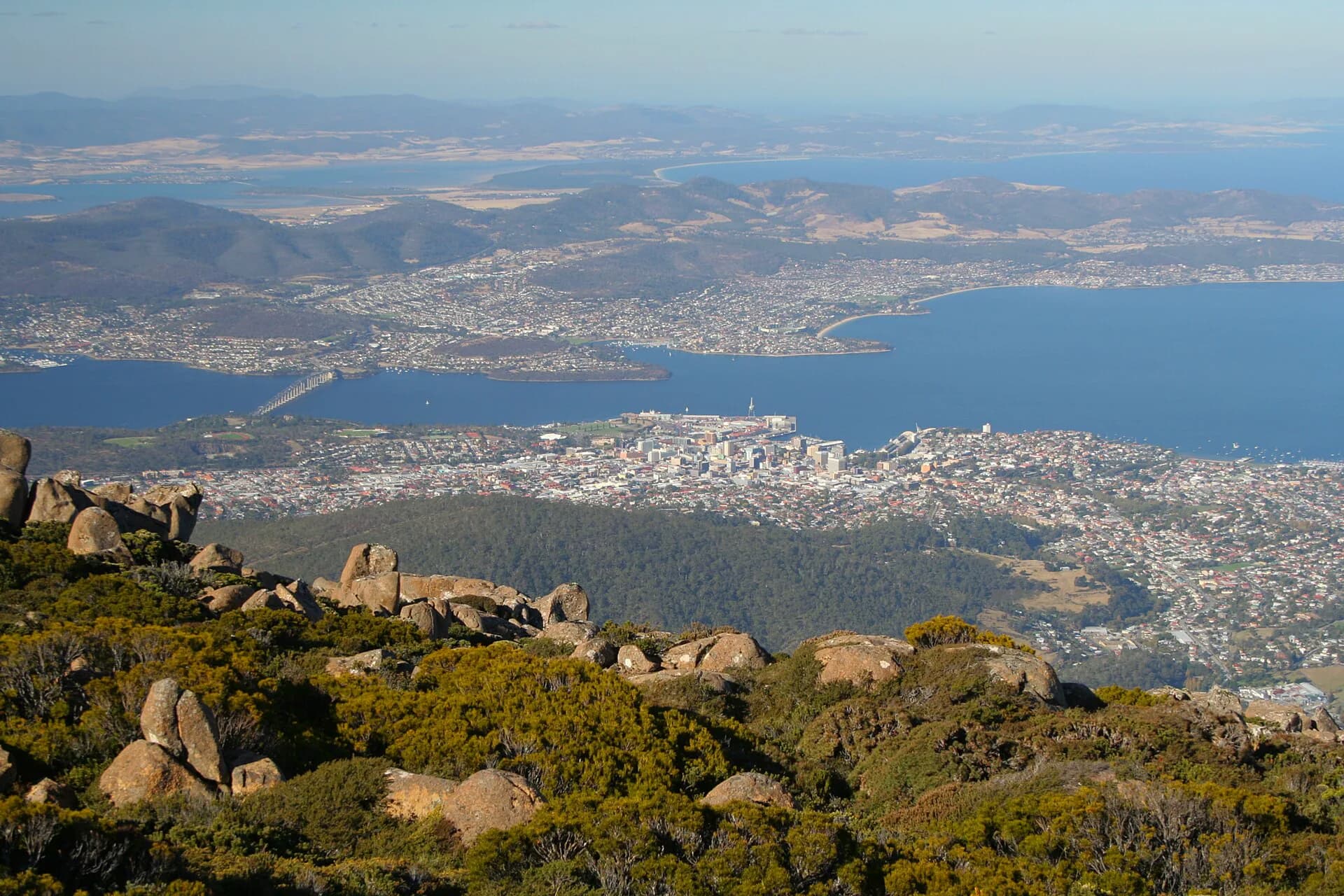
Hobart and the south-east contain the largest urban area and major historic sites. Launceston anchors the north, while the north-west has closely spaced coastal centres. The east is drier and road-oriented; the west is mountainous, wet and sparsely settled. Central Tasmania includes high plateaus and the Midlands corridor.
Weather and distance
The island looks compact on a national map, but roads often bend around mountains, estuaries and reserves. A 200-kilometre day can involve slow driving, stops and rapid weather changes.
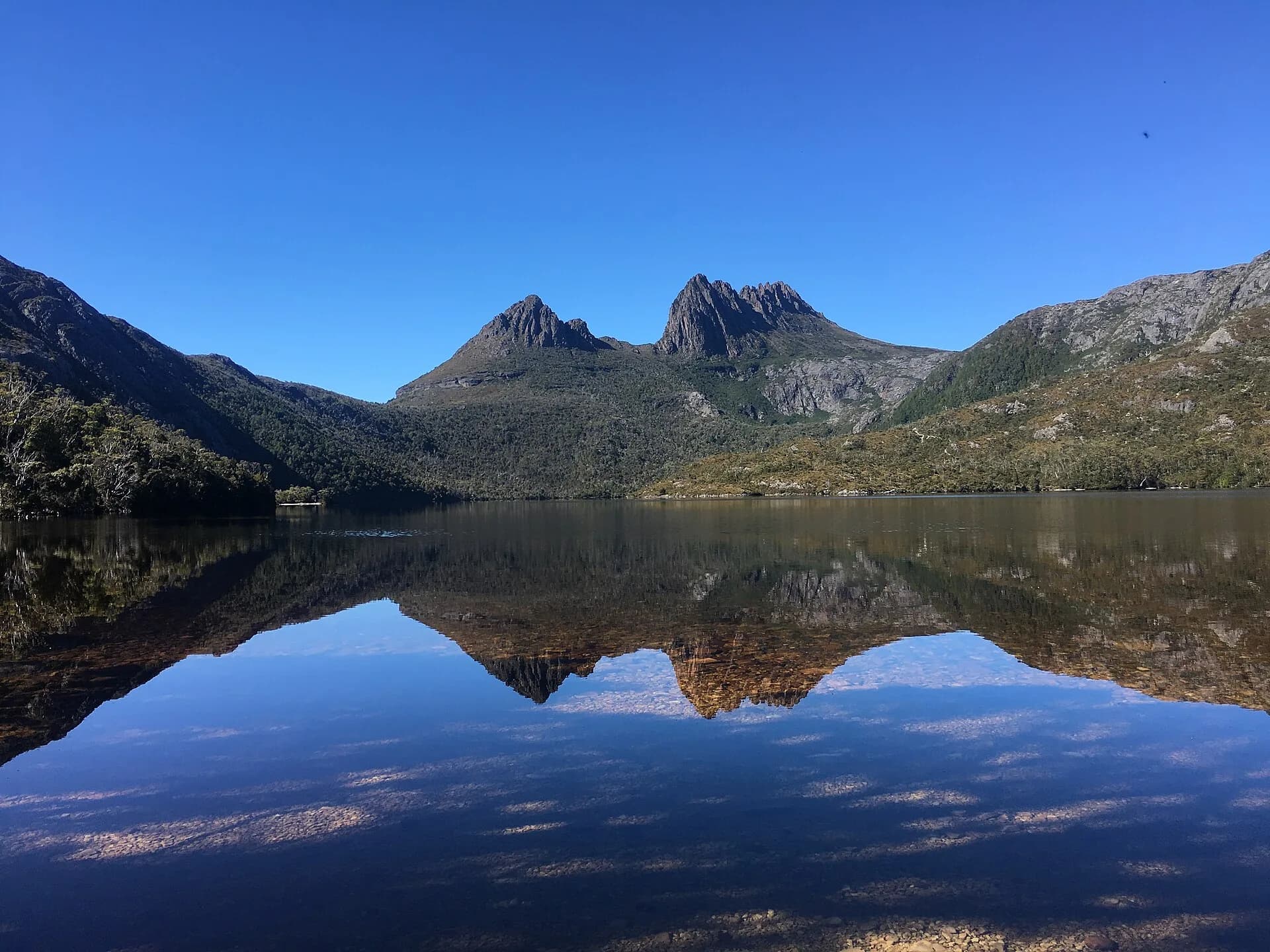

Four seasons can occur within one journey. Carry layers and check fire, snow, flood, park and road alerts. Daylight changes substantially across the year.
Cities and services
Hobart and Launceston provide the broadest services. Regional cities include Devonport and Burnie, with smaller towns supporting surrounding districts. Mobile coverage and fuel become less dependable in remote areas.

Begin with the first-time visitor guide and choose a trip length before collecting stops. The East Coast, West Coast and north-east guides explain the major route differences.