.jpg)
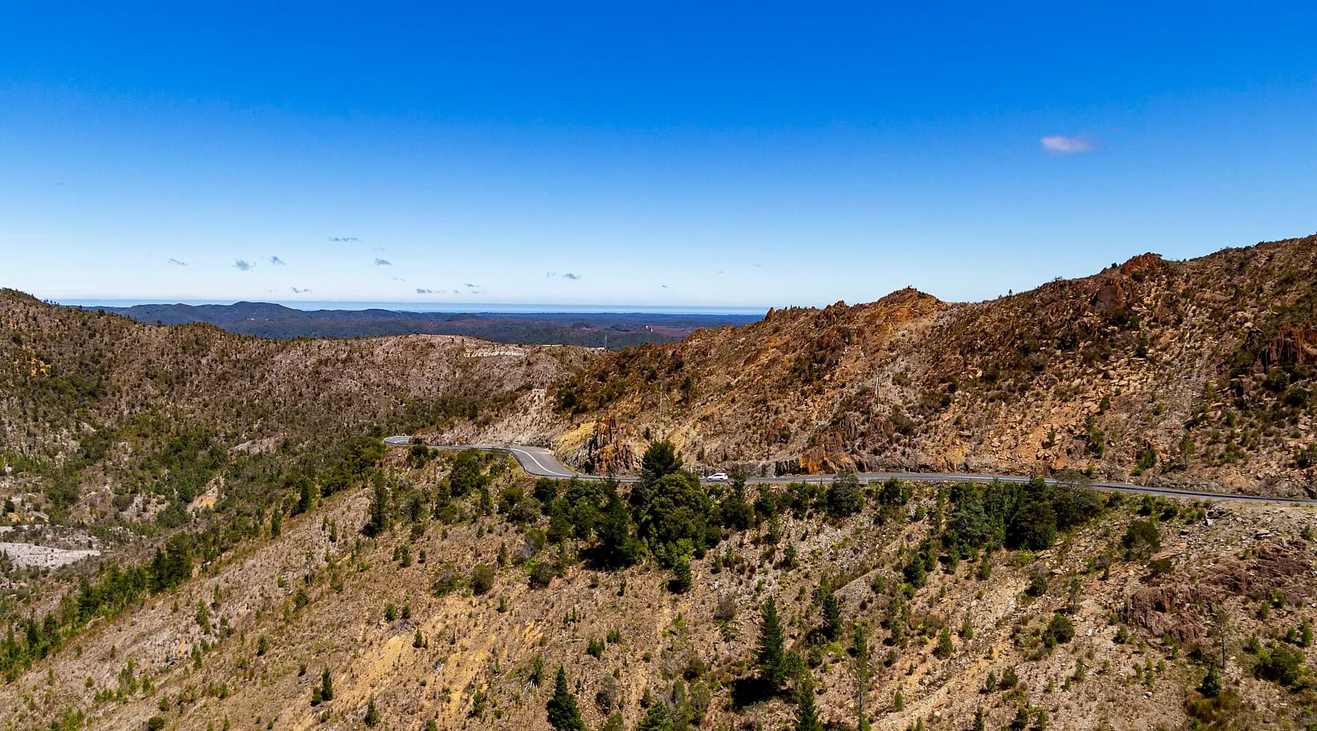
Tasmania’s West Coast is a large, mountainous region where rainforest, mines, hydro-electric infrastructure and small towns sit along a limited road network. Weather and distance control an itinerary more than a list of attractions.
Build the trip around roads
The Lyell Highway links the Central Highlands, Queenstown and Strahan. Northern approaches connect through Tullah and the Murchison Highway. Roads are winding, wildlife is common and fuel stations are far apart.
Allow daylight margins and check closures. Snow, fallen trees, fire, heavy rain and works can affect the few through routes.
Queenstown and mining country
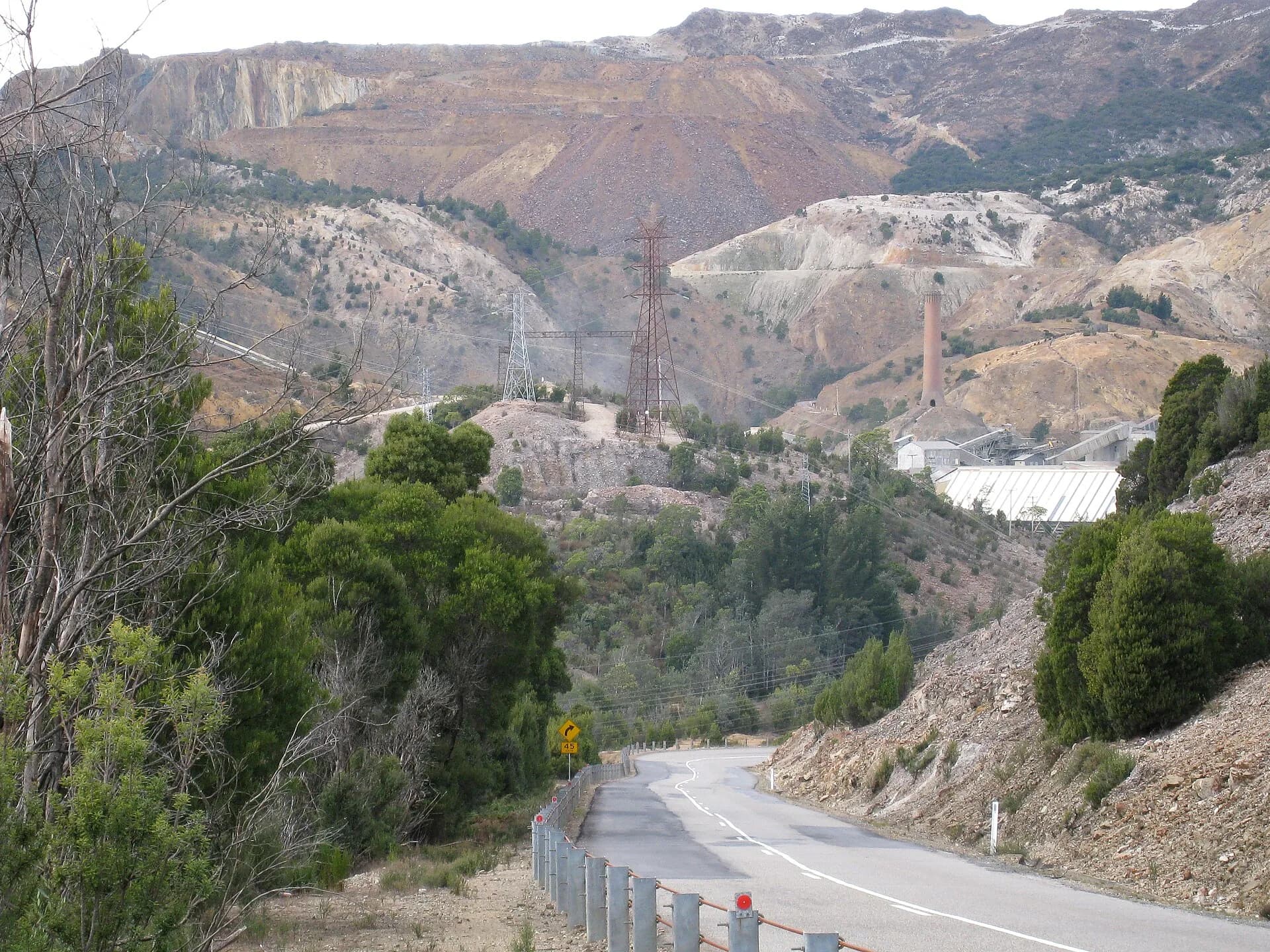
Queenstown’s landscape records copper mining, smelting, railway transport and environmental damage as well as regeneration. Mine areas are operational or hazardous, so use recognised lookouts and public interpretation.
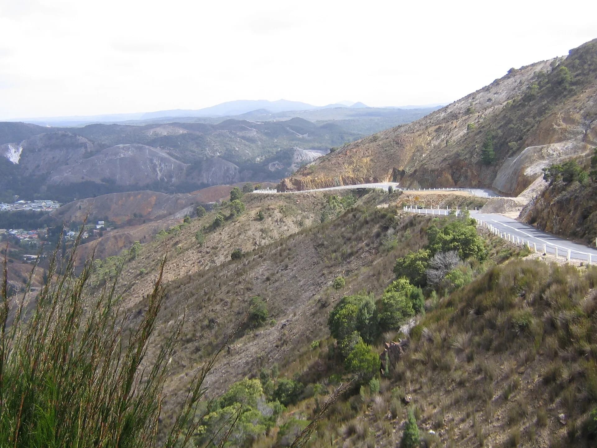

Zeehan adds a different mining and museum history, while Tullah and Rosebery connect modern industry with hydro-electric and mountain landscapes.
Strahan and the harbour
Strahan faces Macquarie Harbour and is the main base for harbour journeys and the West Coast Wilderness Railway. Book major activities before arrival and leave an alternate plan for bad weather.

Time and preparation
Three nights is a useful minimum for two bases; five or more makes weather disruption easier to absorb. Carry warm waterproof layers in every season and do not rely on continuous mobile service.
The north-west history explains the ports and transport systems that connected the region, while Waratah provides a focused mining-town guide.