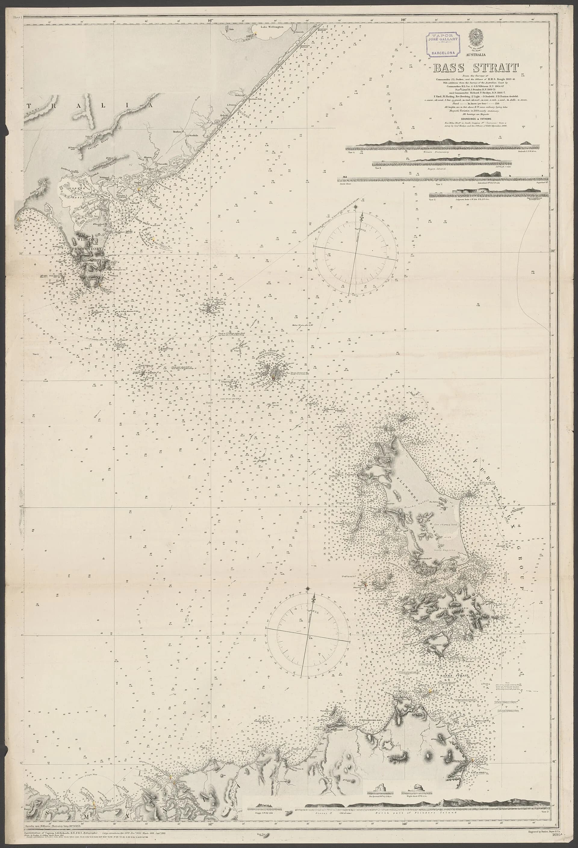

Names around north-west Tasmania’s coast preserve different periods of navigation, colonisation, administration and local use. A neat origin story is often less reliable than a dated chain of charts, surveys and official records.
Start with the current official name
Placenames Tasmania records authorised names and locations. Search spelling variants and nearby features before assuming two historical labels refer to the same place.
Compare early charts
European navigators applied names from offshore surveys, often without knowing Aboriginal names or local geography. Later hydrographic charts corrected positions, divided larger features and sometimes retained competing labels.

Aboriginal names and dual naming
Tasmanian Aboriginal place names require sources grounded in community knowledge and the state’s Aboriginal and dual-naming processes. Do not reverse-engineer meanings from English spelling or repeat unsourced tourism claims.
Ports and working usage
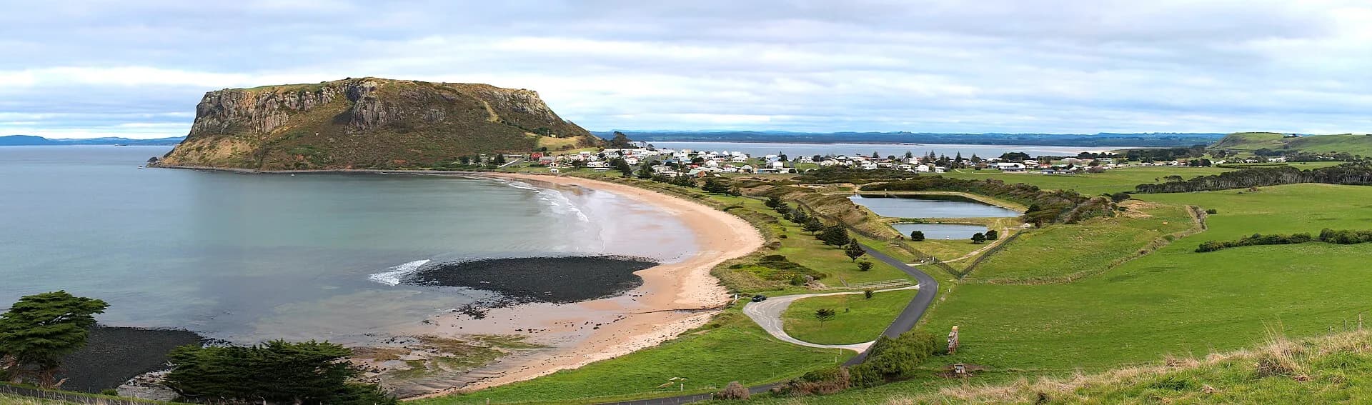
River mouths and bays acquired practical names through shipping, farming and mining. Burnie, Devonport, Stanley and smaller ports may appear under earlier settlement or river names in newspapers and records.
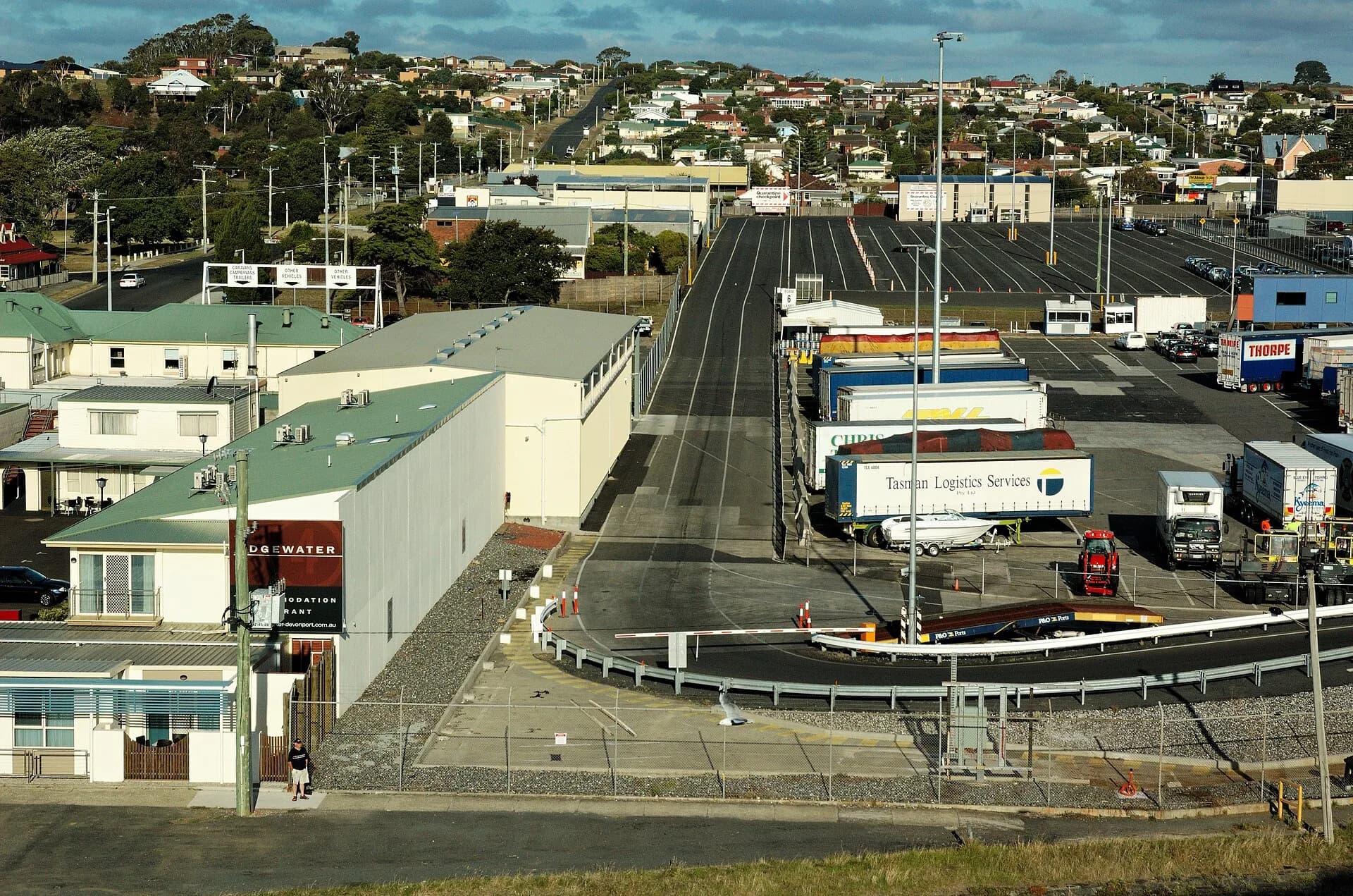

The north-west place-names guide covers inland settlements, while Stanley history and the Port of Devonport show how names became attached to working places.