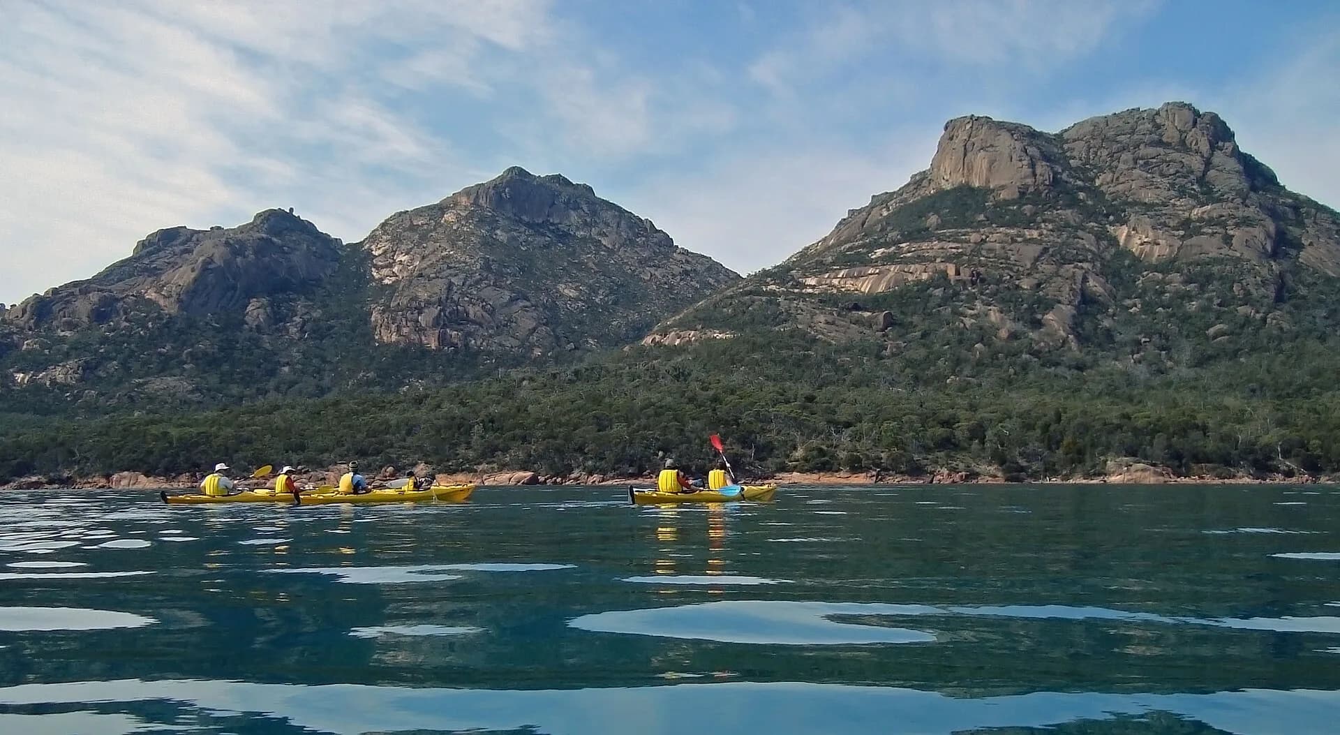

Tasmania has sheltered estuaries, island channels and highly exposed ocean coasts. Distance from shore does not measure risk. Wind against tide, reflected swell, cold-water immersion and a difficult landing can turn a short route into an emergency.
Choose a route for the least experienced paddler
Begin with protected water, multiple landing options and a forecast well within the group’s capability. A guided trip is sensible when skills, rescue practice or local knowledge are limited.

Dress for the water
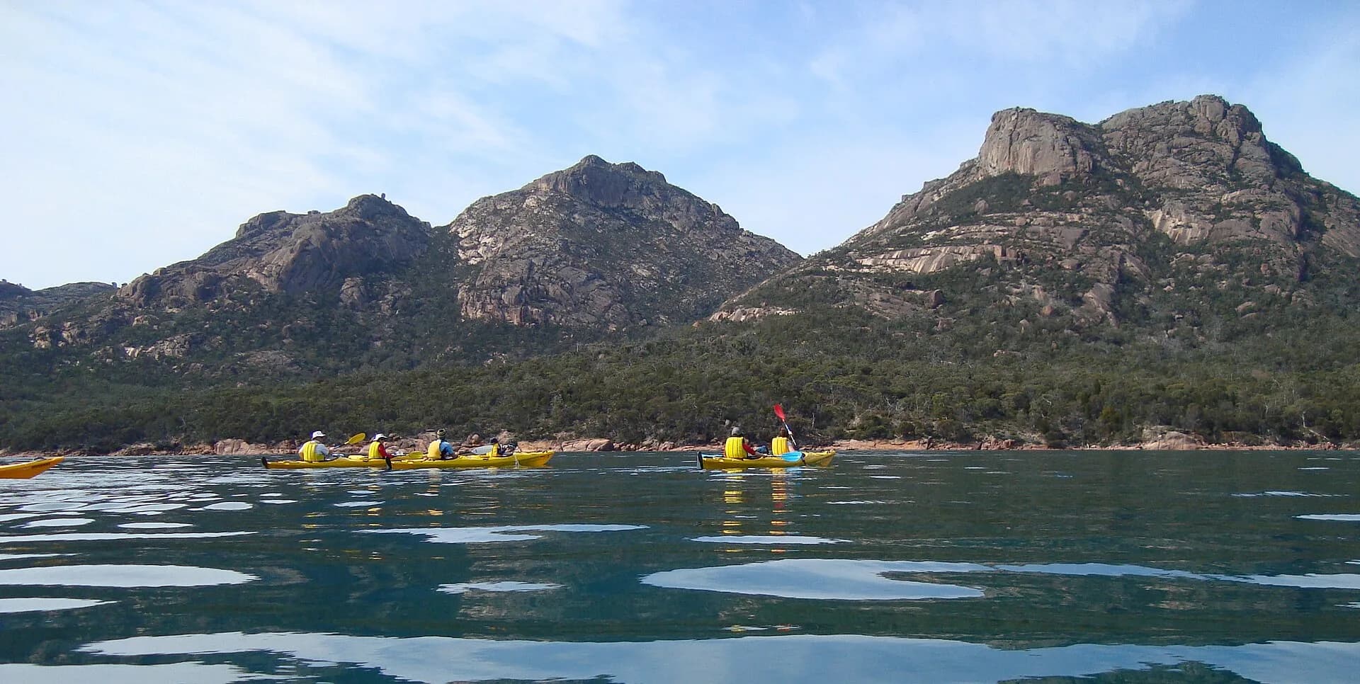
Wear a correctly fitted personal flotation device and clothing for immersion, not the air temperature. Carry accessible communication, first aid, food, repair equipment and a way to call for help that does not depend on a wet phone.

Recheck wind, tide and landing points
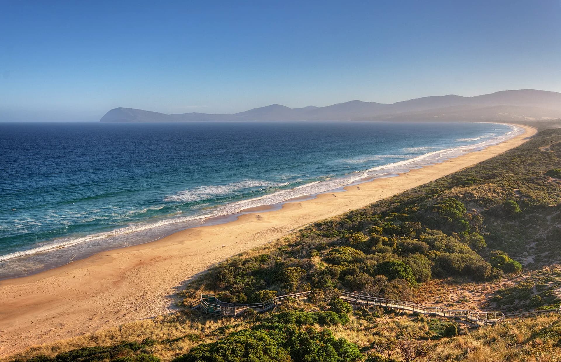
Use Bureau marine forecasts and warnings, then compare them with the precise coast and tidal stream. Tell a responsible person the route and overdue time. Turn back early if wind, fatigue or seas exceed the plan.
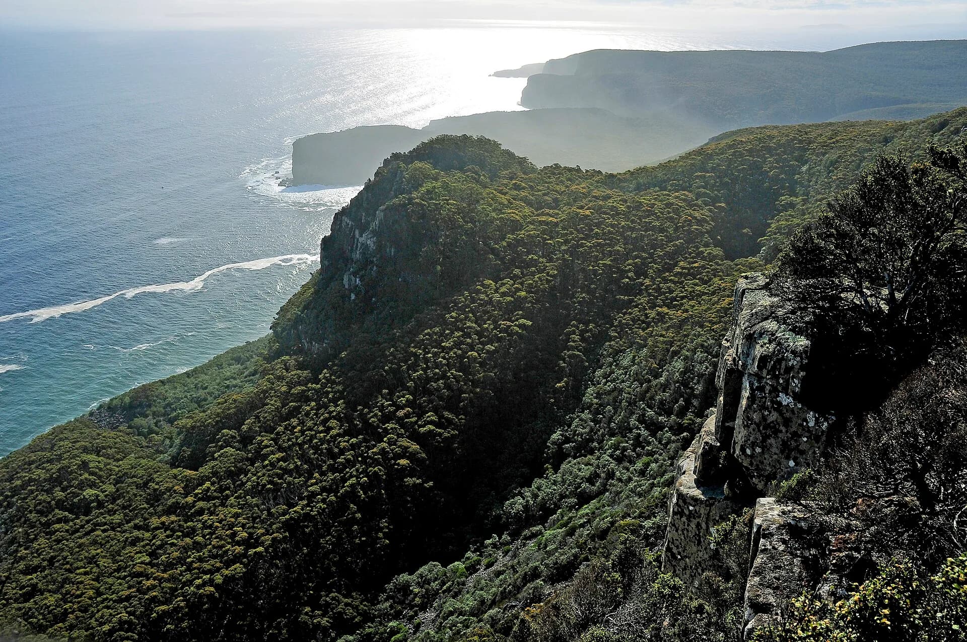

Great Oyster Bay, Bruny Island and the Tasman Peninsula offer very different exposure. Store only coordinates and route data in articles; the site’s shared map remains provider-neutral.