.jpg)
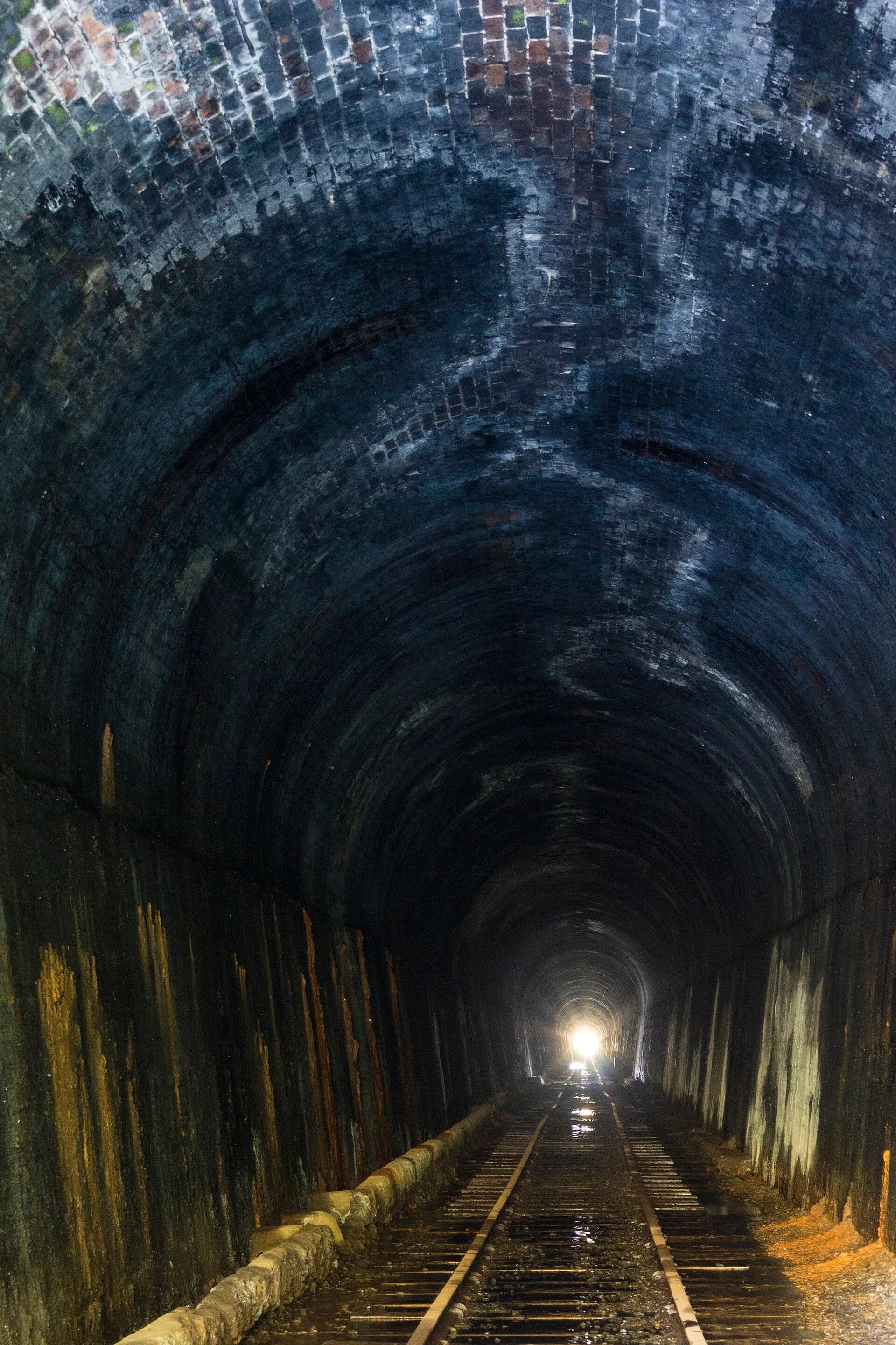
Disused railway corridors can provide gentle gradients and connections between towns, but a line on a historic map is not automatically a public trail. Tasmania’s routes are managed by different councils and community groups, with gaps, road crossings and changing surfaces.
North-east corridors
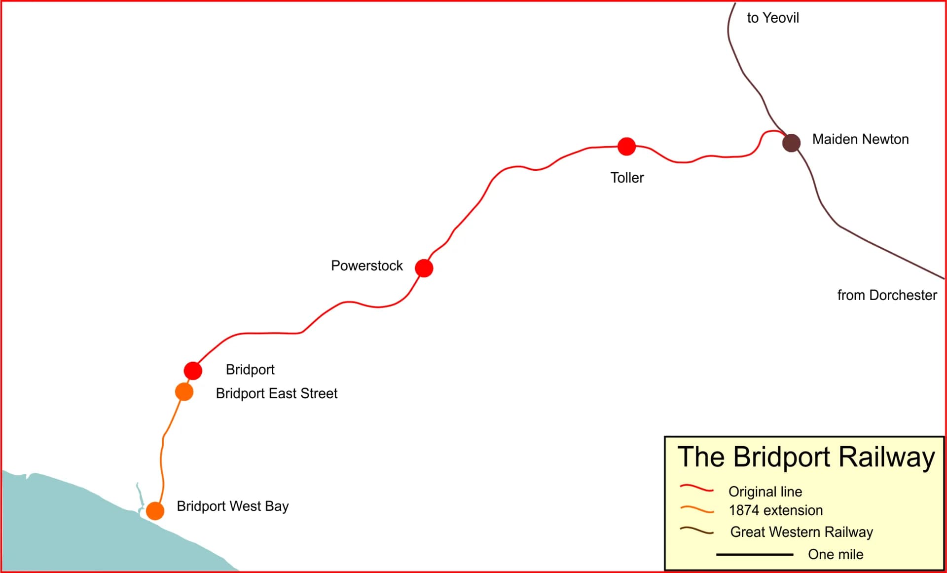
Sections around Scottsdale, Lilydale and nearby districts reuse railway formations, bridges or cuttings. Check the current trail manager’s map because completed sections do not always join into one continuous off-road route.

Urban and regional shared paths
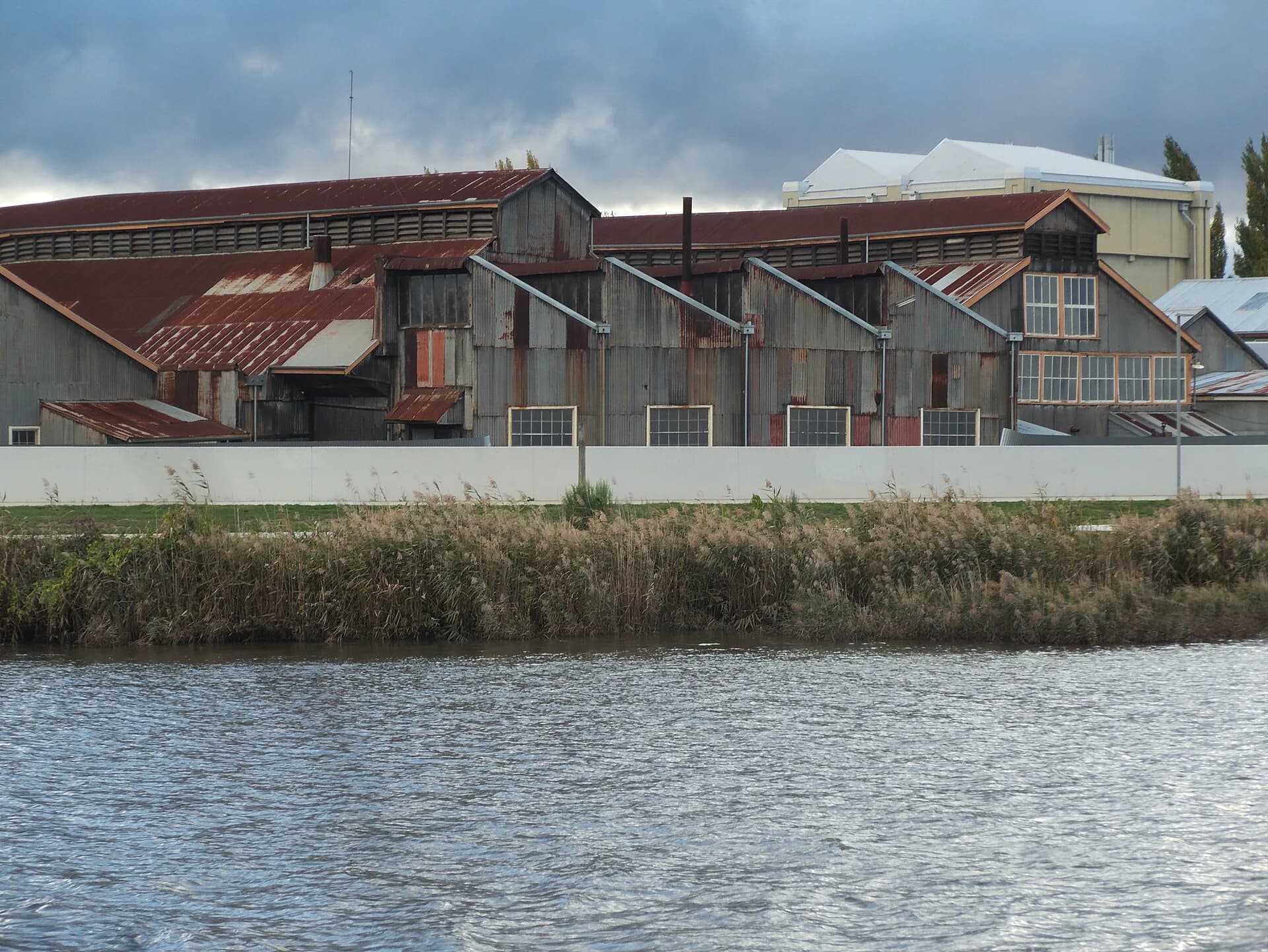
Launceston and Hobart have shared paths that follow operating or former transport corridors. Busy commuter paths require predictable riding, bells before passing and low speed around walkers and children.

Heritage railway is different
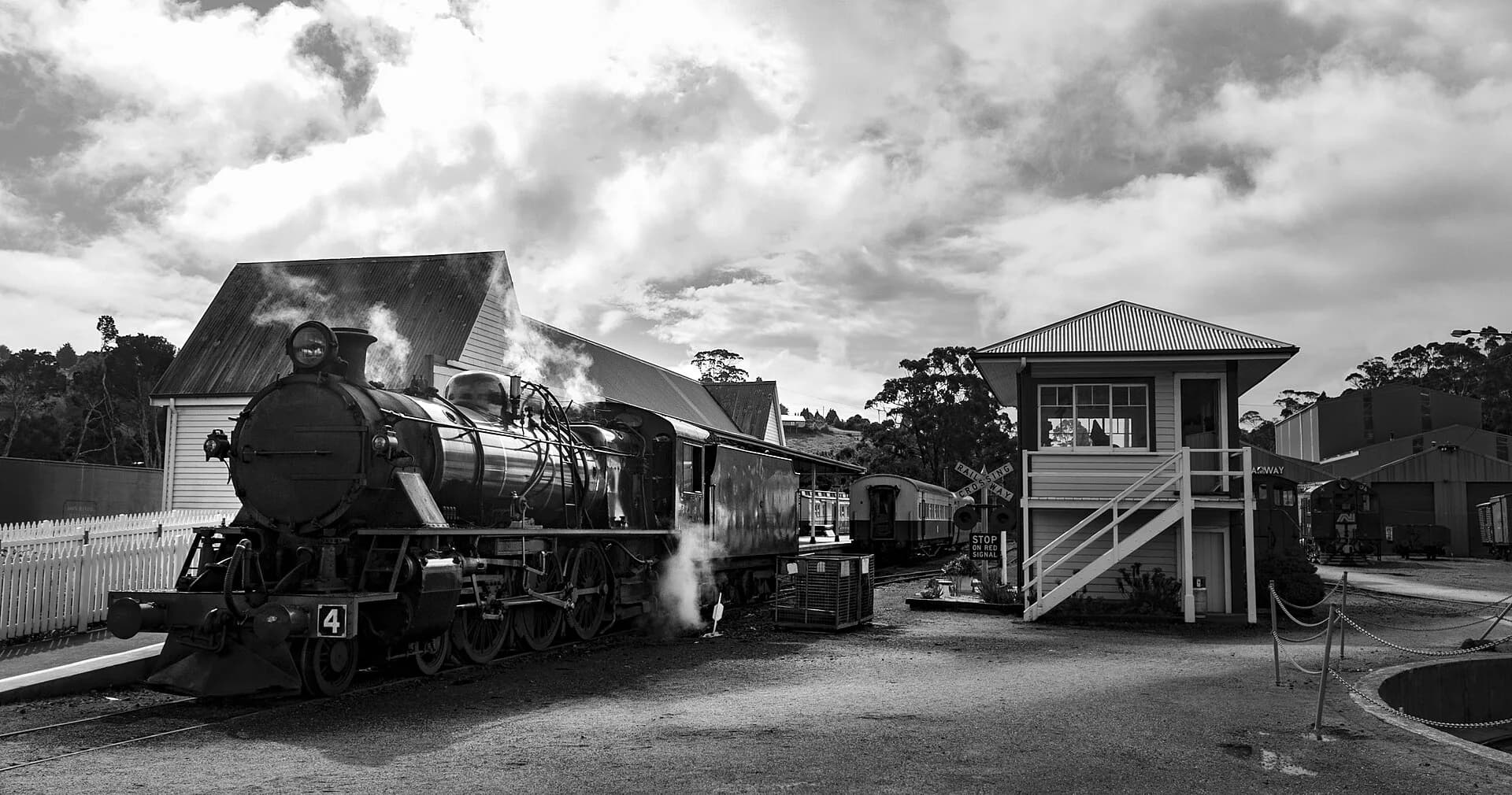
An operating tourist railway is not a rail trail. Never enter tracks, yards, tunnels or bridges without clear public-trail signs. Carry repair equipment and plan a pickup where rural services are limited.

The North East Railway history provides context, while Tasmania’s heritage railways covers operating visitor lines.