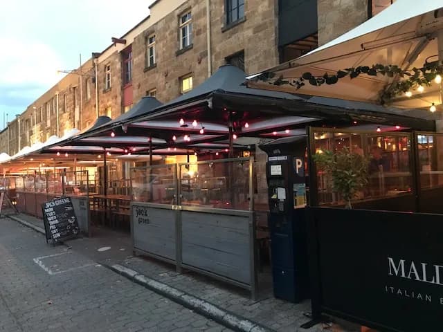

A historic precinct is more than a group of old-looking buildings. Streets, allotments, warehouses, houses, public spaces and working waterfronts gain meaning through their relationships. Hobart’s planning scheme recognises many such areas, from the central waterfront to suburban streets.
Sullivan’s Cove and Hunter Street
The cove became the colonial port and administrative centre. Reclaimed shore, wharves, warehouses and civic buildings record repeated change rather than a frozen Georgian town.
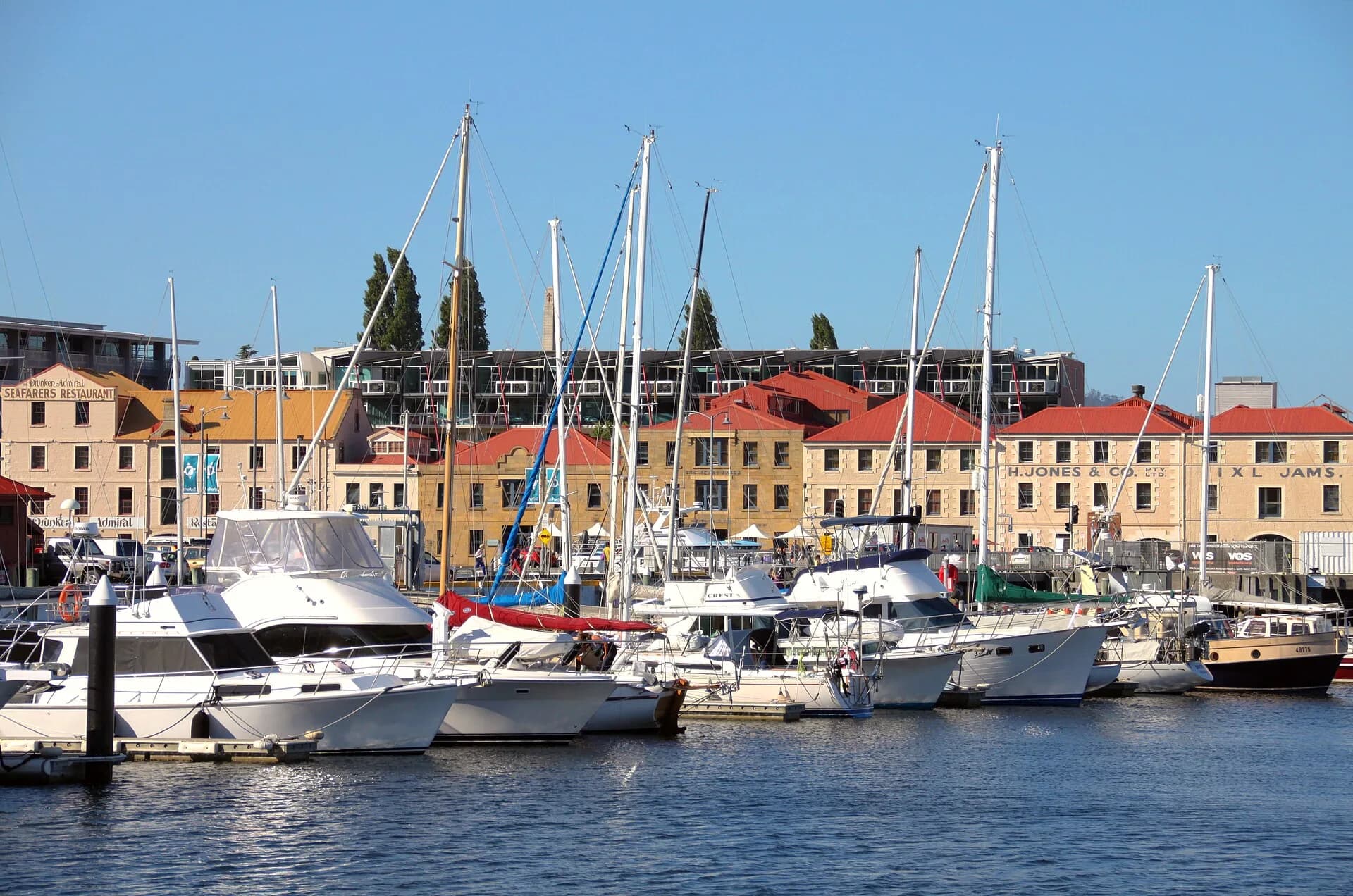

Salamanca and Battery Point
Sandstone warehouses face the former New Wharf below Battery Point. Uphill cottages and larger houses reflect maritime labour, trade, domestic service and wealth within one connected district.
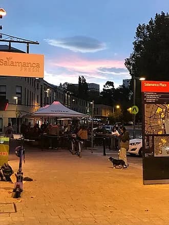

Wapping, Glebe and suburban precincts
Road building and redevelopment removed much of Wapping, while the Glebe, South Hobart and New Town retain different street patterns and building periods. Heritage boundaries are research tools, not a claim that every building has the same age or value.
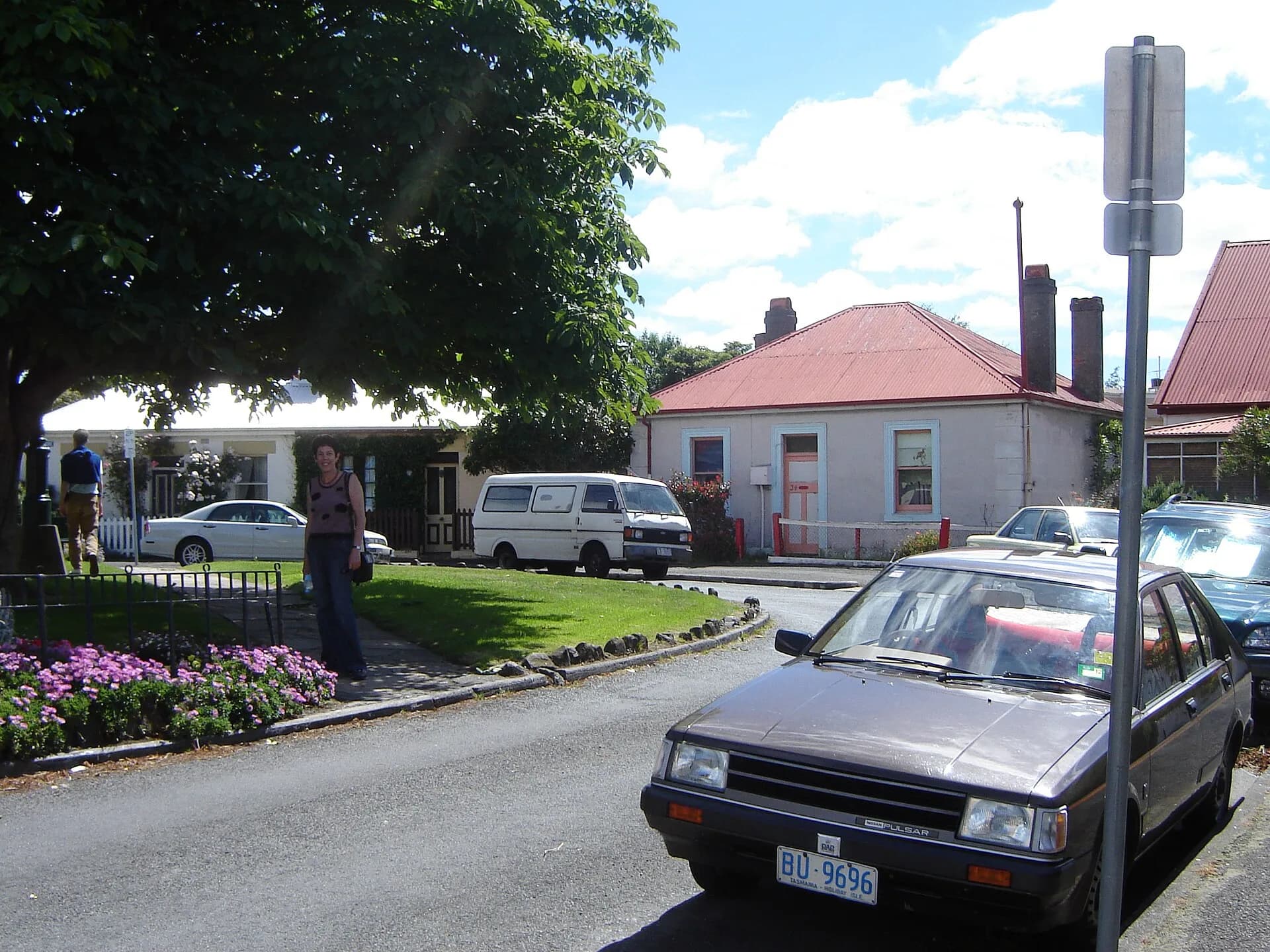

Walk on public footpaths, avoid blocking narrow streets and remember that many buildings are homes. Use the Hobart architectural walk and historic homes guide for closer routes.