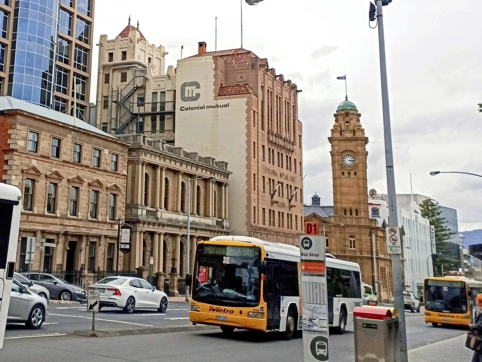

This walk links Hobart’s waterfront, civic centre and Battery Point. It is not a checklist of attractive façades. The route shows how government, trade, convict labour, reclamation and private wealth shaped the city.
Sullivan’s Cove
Begin around Hunter Street and the lower cove. Warehouses and wharf buildings reflect the port economy, but much of the ground is reclaimed. Look for changes in level, street alignment and building orientation that reveal the earlier shoreline.
Macquarie and Davey streets
Walk uphill past major public buildings. The Town Hall, former government offices, churches and commercial premises use sandstone, brick and later materials in very different ways. The Hobart street-names guide helps identify the administrative figures commemorated in the grid.
Salamanca and the edge of the hill
Salamanca’s long warehouse façades belonged to a working port. Their current shops and venues represent reuse, not an unchanged colonial precinct. Continue towards Kelly’s Steps or a gentler street route if steep stairs are unsuitable.

Battery Point
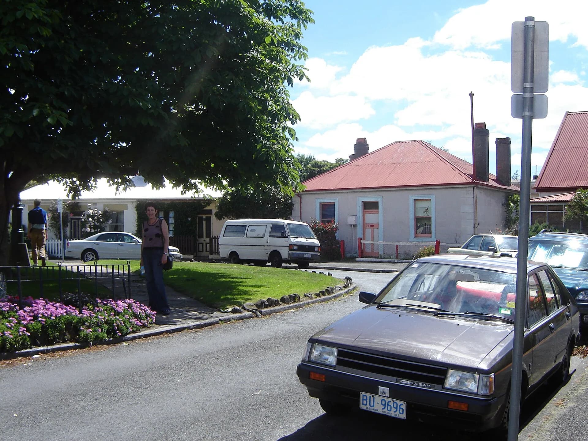
Battery Point contains cottages, larger houses, churches and former maritime connections. Arthur Circus is a planned residential space rather than a traditional English village green. Respect private homes and use public paths.
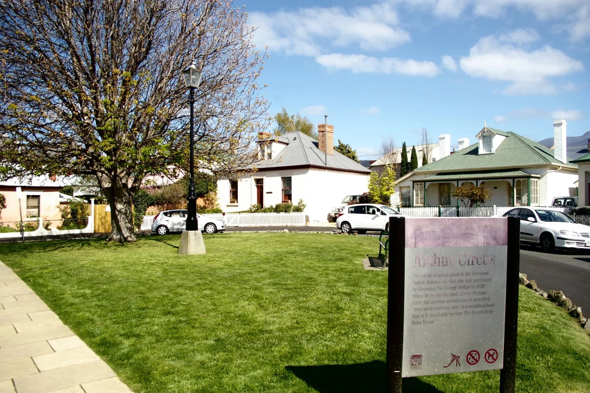
_Arthur_Circus_2012.jpg)
Walk with evidence
Heritage listing can apply to a building, precinct, archaeology or landscape. It does not mean that every element is original or publicly accessible. Compare current streets with City of Hobart heritage precinct descriptions and historical maps.
Allow two to three hours without museum visits. Surfaces include slopes, kerbs and steps. The Battery Point heritage walk adds more neighbourhood detail, while Hobart’s rivulets explains the water hidden beneath parts of the centre.