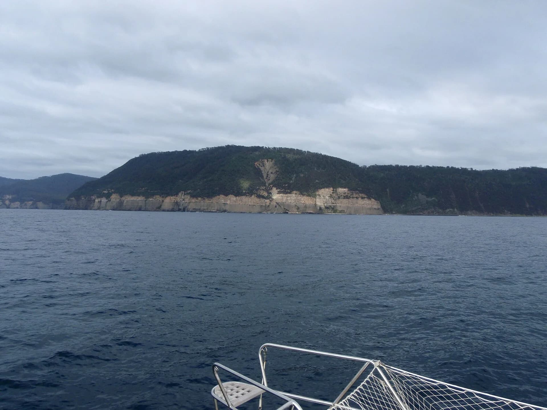

The Forestier Peninsula forms the northern approach to Turrakana / Tasman Peninsula, bounded by Norfolk Bay and the Tasman Sea. Its historical connections are visible in the narrow land route at Dunalley, the sea passages around its coasts and the industries that occupied its forests and bays.
Aboriginal Country comes first
Tasman Council acknowledges the Pydairrerme people as the traditional custodians of the wider Tasman Peninsula municipality. Coast, bays, freshwater and movement routes were part of lived Country long before European charts divided the shoreline into named features.
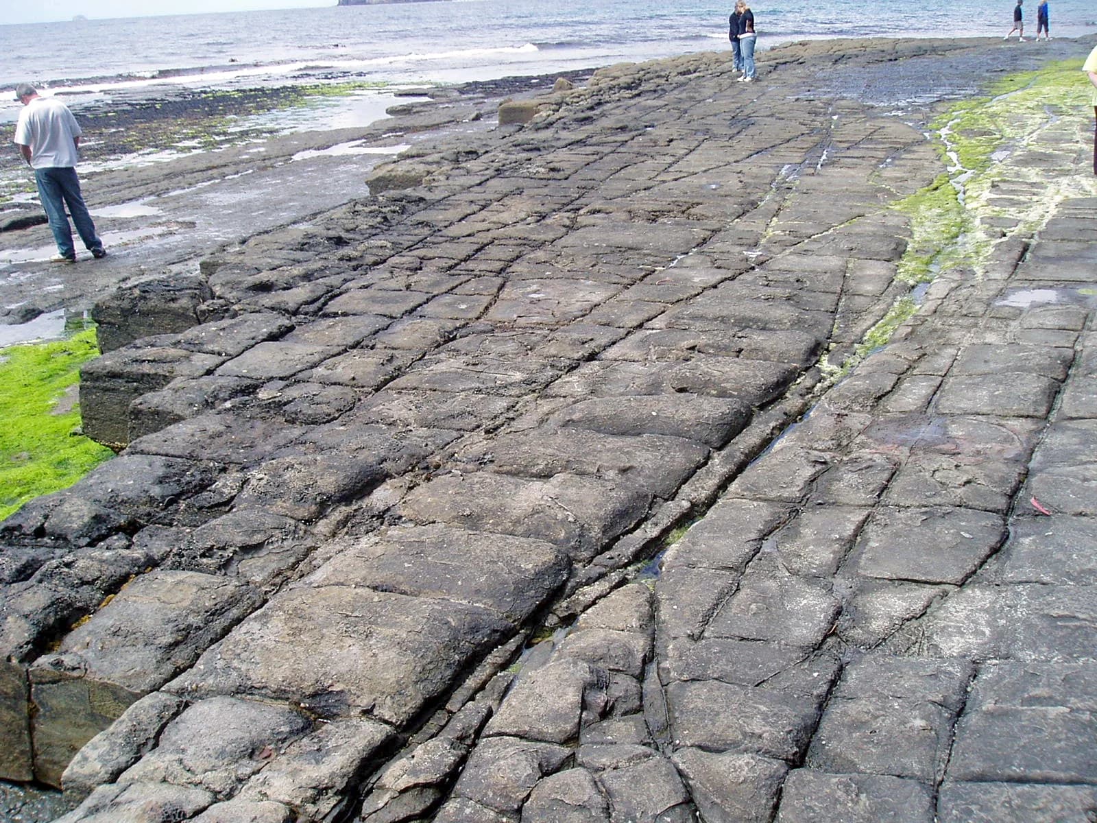

Public interpretation must not imply that European mariners discovered an empty place. Aboriginal Heritage Tasmania is the appropriate authority for protected places and cultural material. Leave shell deposits, stone artefacts and other possible cultural evidence undisturbed.
Charts connected the peninsula to maritime empires
European voyages progressively charted the east and south-east coast. French expedition records associated with Nicolas Baudin and later published charts document how bays, islands and headlands were measured and renamed within European navigation systems.
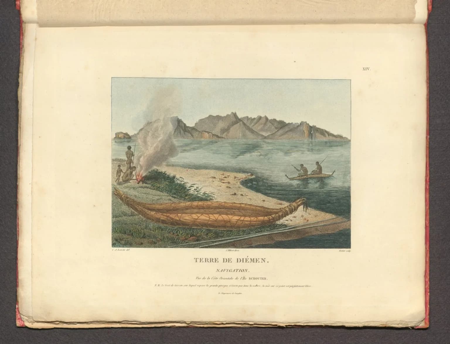
.jpg)
These maps are useful evidence of what expeditioners recorded, but they do not replace Aboriginal knowledge or prove first presence. Libraries Tasmania and other archives preserve maps that can be compared across periods to see names, routes and survey detail change.
Land and sea routes shaped colonial settlement
Dunalley became the hinge between the Forestier and Tasman peninsulas. Colonial roads, ferries and later the canal concentrated movement through the district, while timber cutting, farming, fishing and small coastal settlements altered land and water around the peninsula.
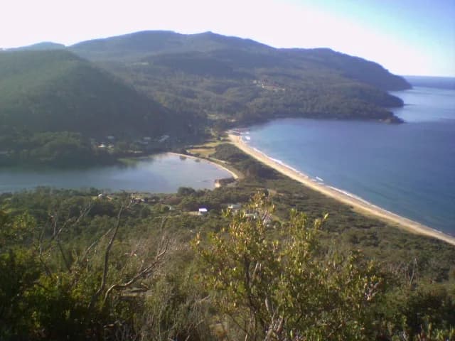

Today, the Forestier Peninsula guide explains the localities and road journey, while Forestier Peninsula walks covers managed tracks. Continue through Eaglehawk Neck for the narrow landform and its colonial security history.