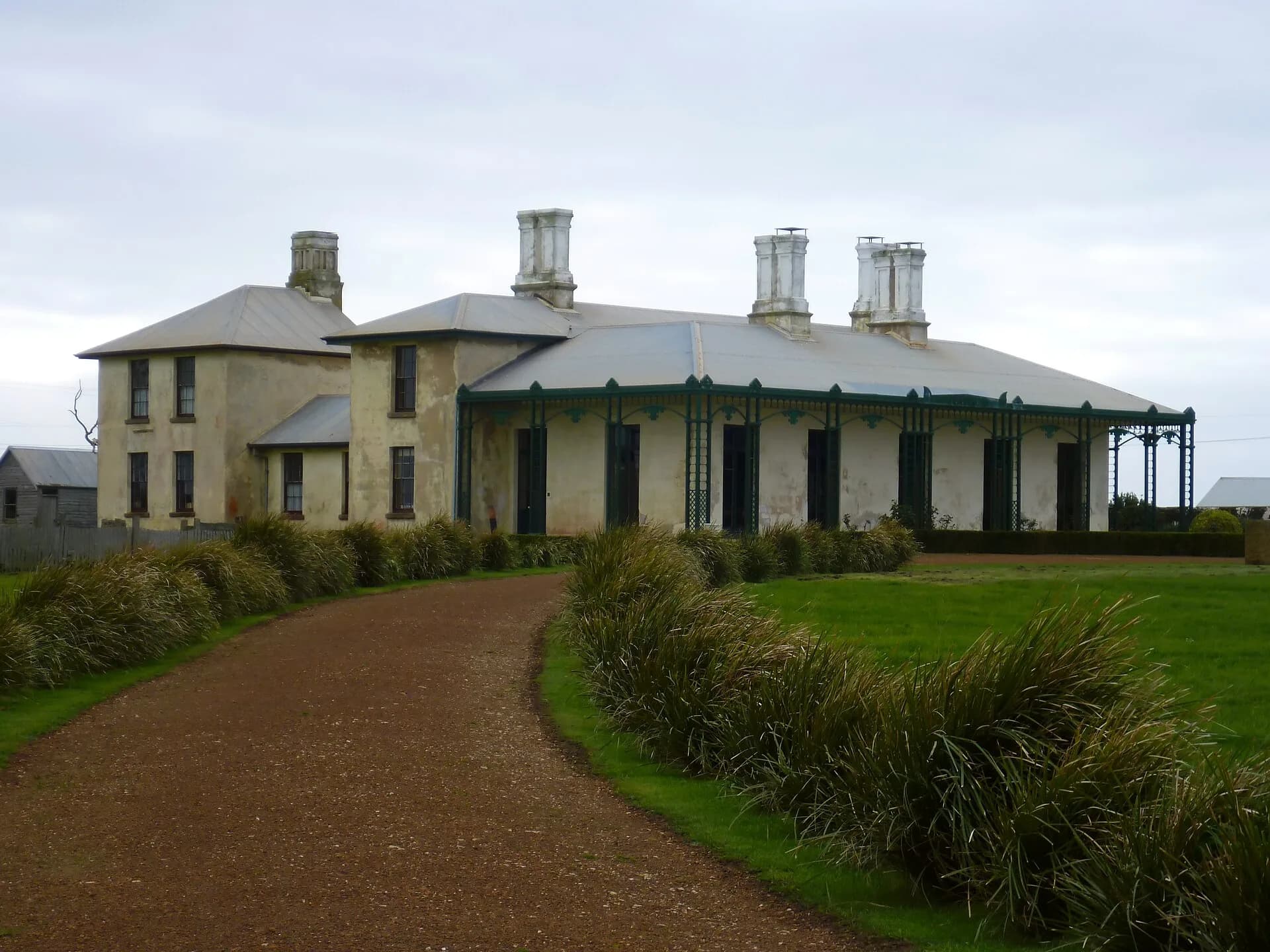

Henry Hellyer arrived in Van Diemen’s Land in 1826 as an architect and surveyor for the newly formed Van Diemen’s Land Company. His name remains on a river, gorge, road and settlement, but those names should not obscure the company’s purpose: selecting and organising a vast colonial land grant on Aboriginal Country.
Survey work preceded company settlement
The company had been promised 250,000 acres for wool production. Hellyer and other officers examined country around Port Sorell, the Mersey, Circular Head and inland districts. He recorded terrain, soils, timber and routes that could serve company operations.

St Valentine’s Peak became a reference point
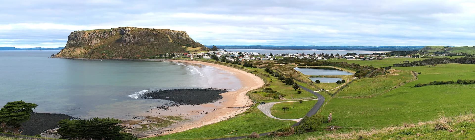
In February 1827 Hellyer climbed the prominent peak south of Emu Bay that Matthew Flinders had seen from the coast. His journey and later surveys helped connect coastal company stations with inland blocks, including Surrey and Hampshire Hills.
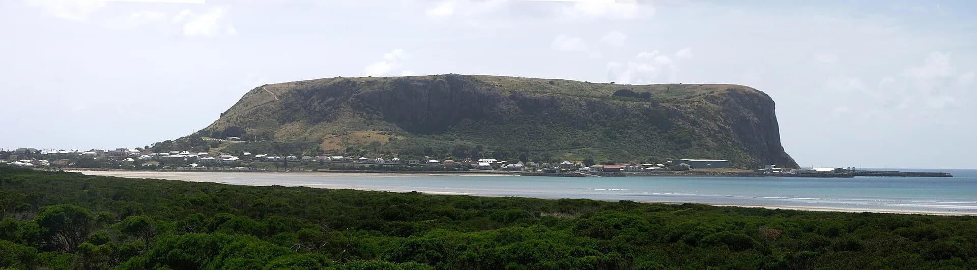

The surviving journals are valuable observations, but they use a company surveyor’s viewpoint. Palawa people already knew, named and moved through these landscapes. Survey lines converted that country into a commercial resource and supported dispossession.
His work ended at Circular Head
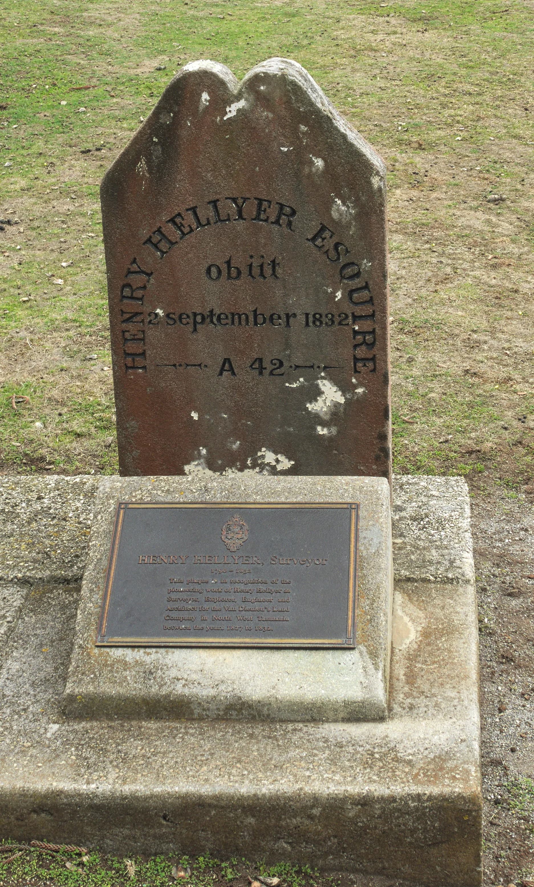
Hellyer continued as company surveyor and architect until his death by suicide at Circular Head in September 1832. His grave is at Stanley. Historical accounts should avoid turning his death into speculation and should use the documented record with care.

Follow the wider story through Highfield and Stanley, the history of north-west Tasmania and preminghana.