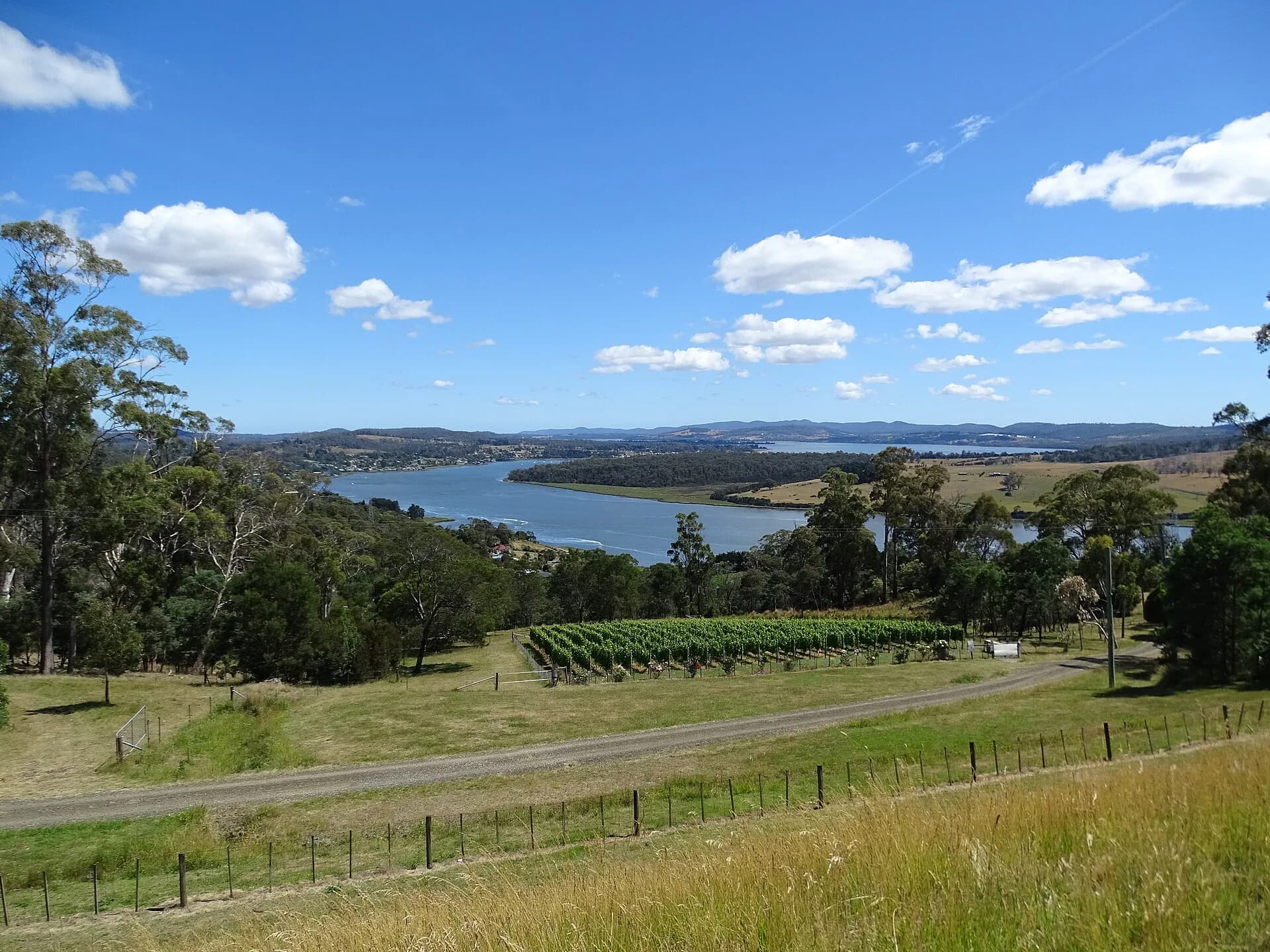

kanamaluka / River Tamar is a tidal estuary extending north from Launceston to Bass Strait. The valley has two road networks, not one continuous riverside drive, and crossing points determine a useful itinerary.
Choose a bank
The west bank leads through Riverside, Legana, Exeter and Beaconsfield towards Beauty Point and Greens Beach. The east bank reaches George Town and Low Head through industrial, rural and coastal landscapes.
Bridges are concentrated near Launceston and at Batman Bridge farther north. There is no convenient road crossing at the river mouth, so trying to cover both banks in one short day creates backtracking.
Wetlands, farms and vineyards
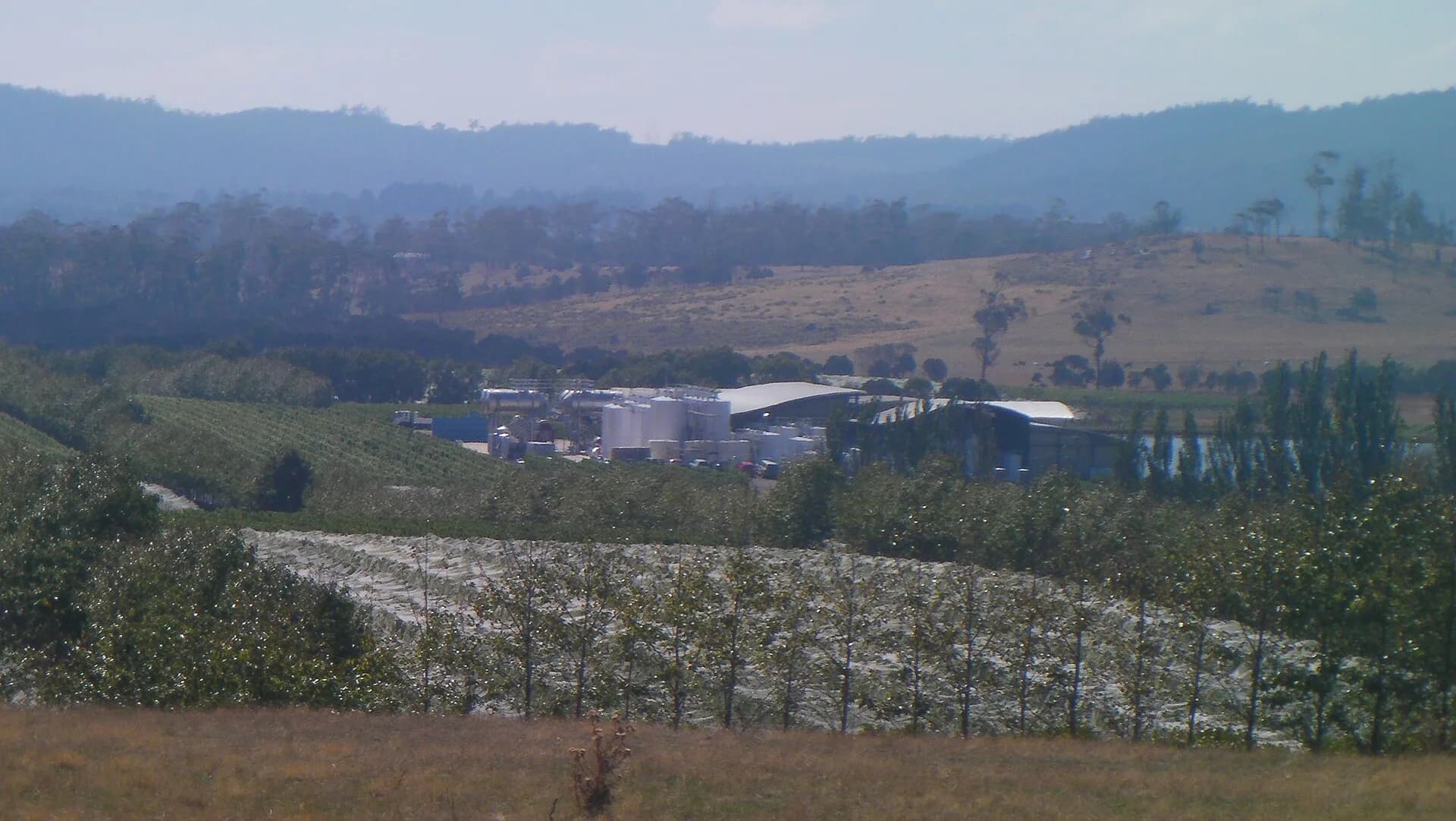
Tamar Island Wetlands provides boardwalk access to estuary habitat near Launceston. Farms and vineyards occupy private land, and cellar-door hours vary. Choose a small number of confirmed stops and use a designated driver.

Maritime history
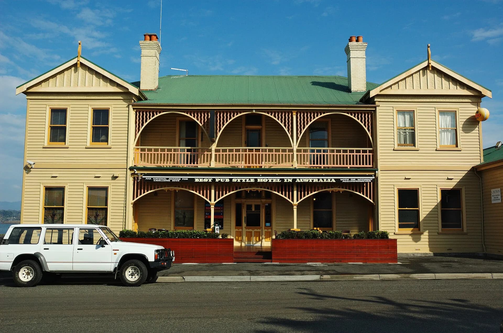
George Town and Low Head interpret navigation, pilotage and port history near the estuary mouth. Beaconsfield and Beauty Point add mining and maritime stories on the west bank.

Two days allows one bank each, while a single day should focus on either Beaconsfield and the west or George Town and Low Head. The Tamar Valley wine guide covers cellar-door planning, and George Town provides a detailed northern base.