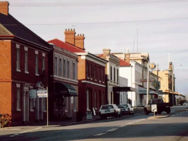

Longford’s historic centre is compact, but its story reaches into surrounding farms and estates. This walk uses public streets to read the town’s role on the road and railway networks of the northern Midlands.
Begin in Wellington Street
Wellington Street contains former inns, shops and civic buildings from different periods. Traffic remains part of the town, so cross at clear points and step away from the road before reading façades.
Churches and public buildings
Side streets reveal churches, former schools, cottages and larger houses. The Northern Midlands Council walking brochure identifies a route and individual stops. Use that current local guide for names and access, because many significant buildings remain private.
River, railway and movement
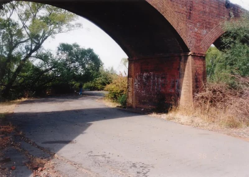
Longford grew near routes crossing the South Esk district. The railway bypassed parts of the old road centre but remained important to regional produce and travel. Surviving bridges and alignments show how the town connected with Launceston and Deloraine.

Brickendon and Woolmers
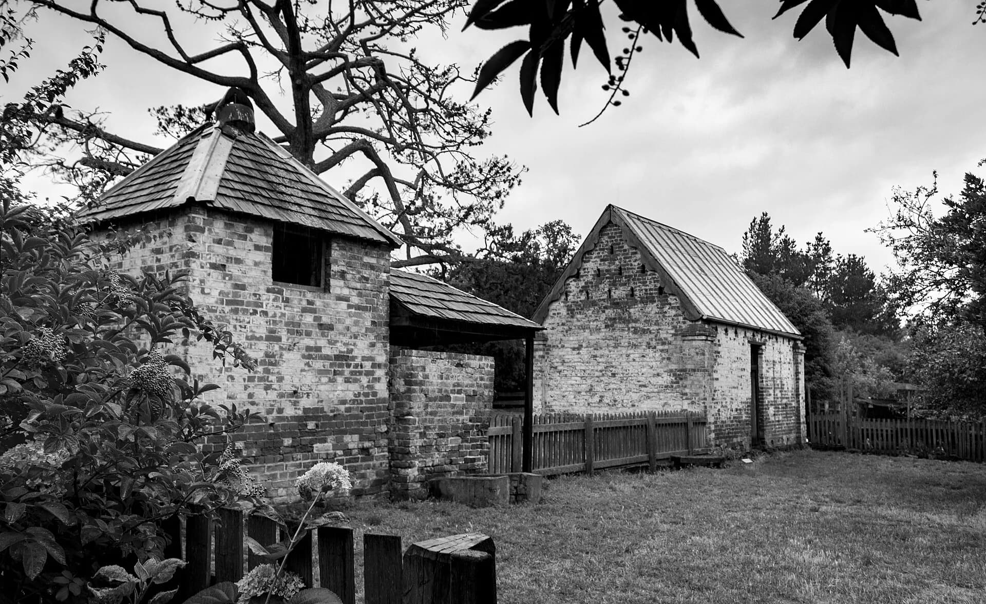
The rural estates outside town are not extensions of the footpath. Brickendon and Woolmers are separately managed properties within the Australian Convict Sites World Heritage property. They demonstrate assigned convict labour on private farms and require their own opening-hour and admission checks.
.jpg)
Plan the walk
Allow two hours for the centre, longer with museum or church access. Footpaths vary and some streets have wide crossings. Park once, carry water and avoid blocking private entrances.
The Longford motor-racing history covers a very different twentieth-century layer. The Heritage Highway places Longford within a wider Midlands journey.