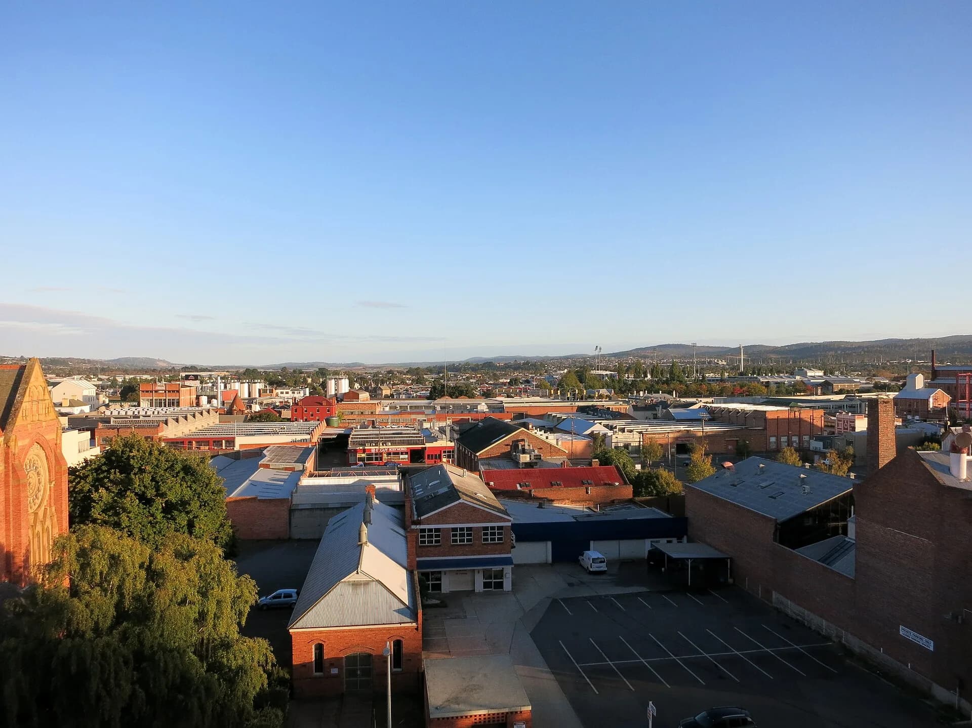

Launceston’s street names record successive layers of planning, commemoration and everyday use. They can help explain the city, but a name is evidence of who held naming power, not a complete account of the people who lived in a place.
The early grid
The centre developed around George Town Road, the river crossings and the route south to Hobart. Names such as Brisbane, Cameron, Paterson and York reflect colonial governors, officials and British associations. The regular grid met steep ground at Windmill Hill, where major street works changed grades and movement.
Names, spelling and local habit
Official spelling and popular use do not always agree. Council research into places such as Kings Bridge shows how punctuation, possessives and origin stories can be repeated inaccurately. Check contemporary council mapping and historical records rather than relying on a decorative sign or a single old guide.
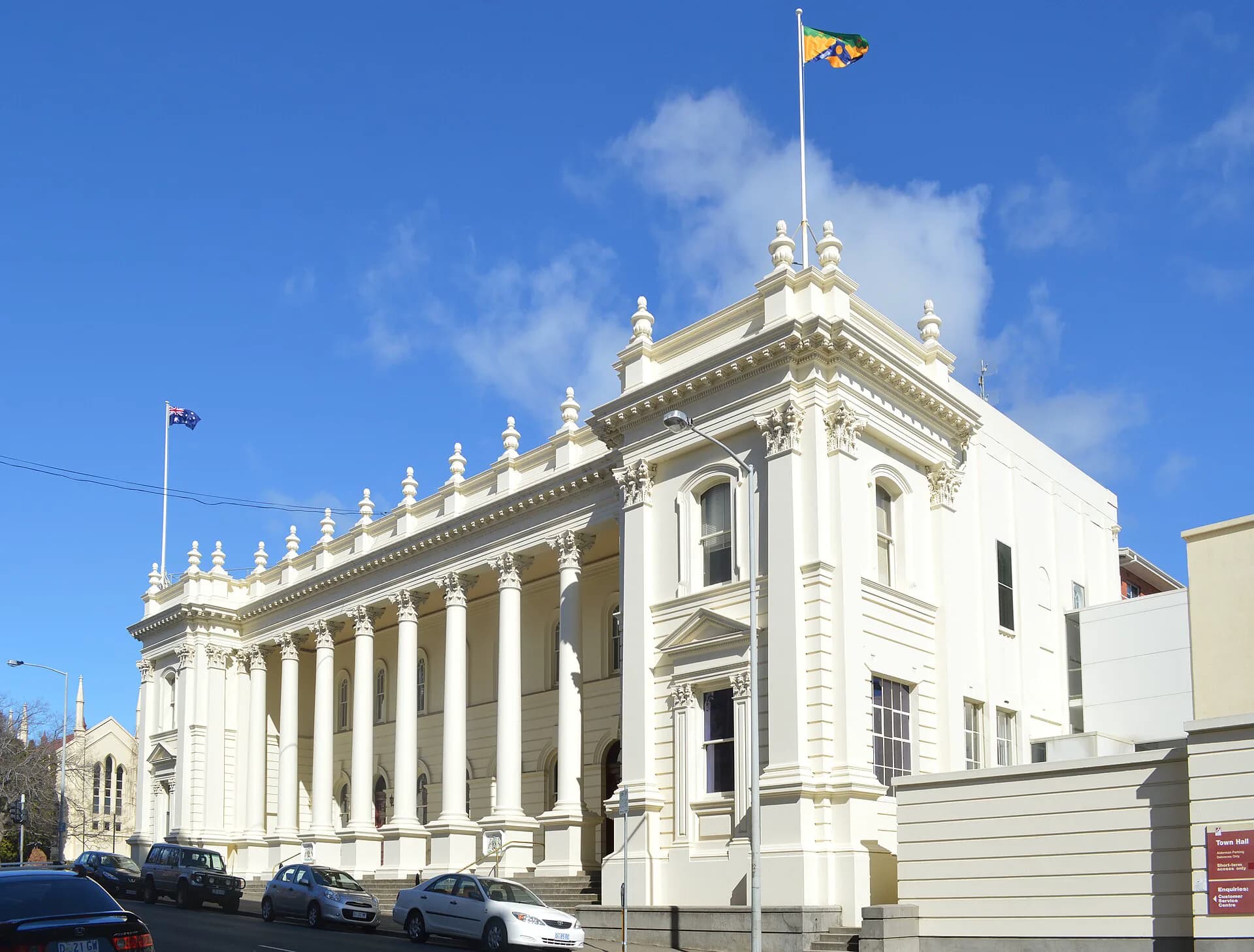

What names leave out
Colonial street names often obscure palawa Country and Aboriginal knowledge. Later suburbs added names drawn from landowners, industries, war service and development themes. Treat these names as an entry point for research, then compare them with Aboriginal history, maps, rate books and community collections.
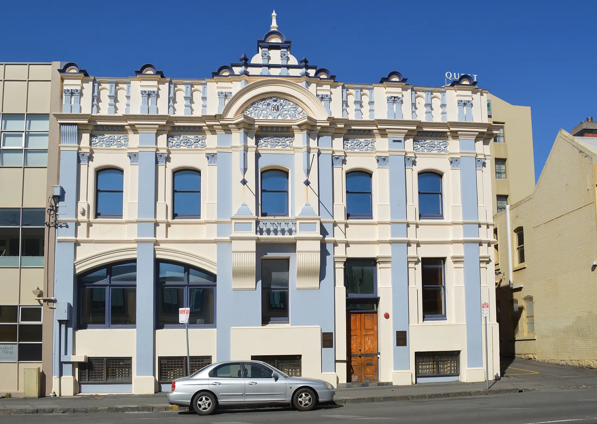

The Launceston heritage walk provides a practical route through the centre. The broader Launceston history places those streets within river, industry and migration stories.