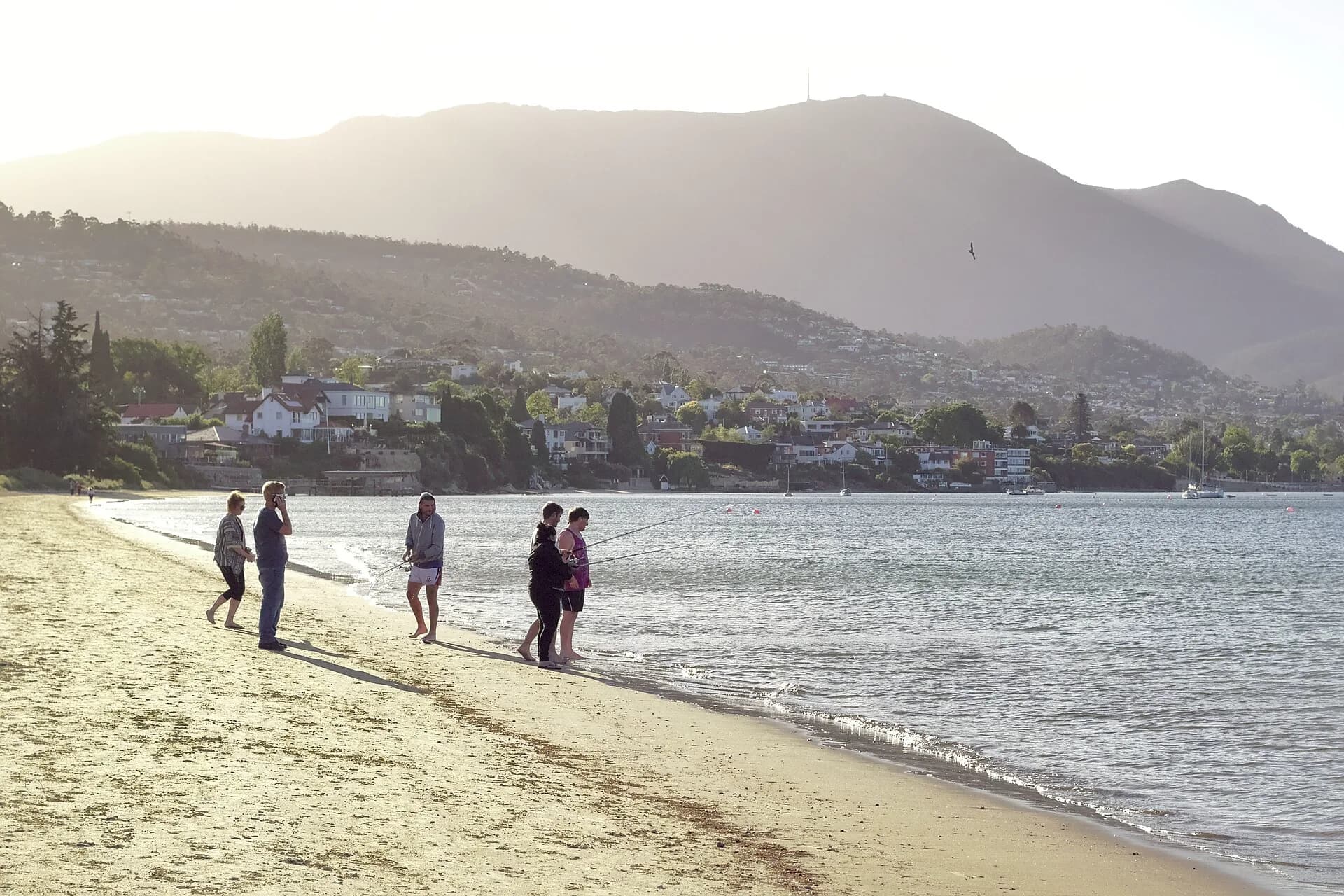

Sandy Bay Rivulet begins on the eastern slopes of kunanyi / Mount Wellington and flows through South Hobart and Sandy Bay before reaching the River Derwent. Much of its lower course is hidden in culverts or confined between private properties, so it is best understood as a working urban waterway rather than a continuous public walk.
From healthy headwaters to urban catchment
City of Hobart monitoring describes the forested upper reaches of its mountain rivulets as ecologically healthy. Conditions decline as waterways enter built-up areas, where roads, pipes, stormwater, weeds and modified banks change water quality and habitat.
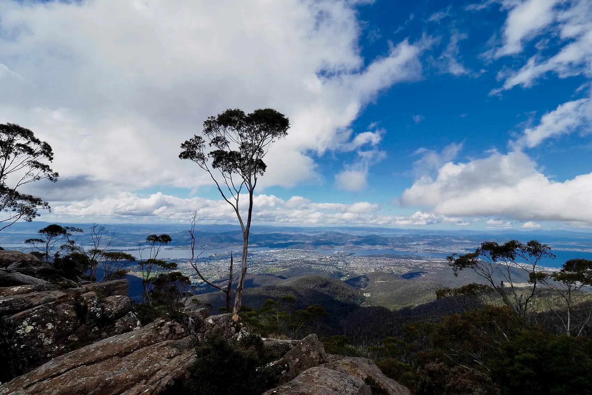

The rivulet still slows and carries floodwater, filters some pollutants and provides habitat. Those functions are easy to overlook where the channel disappears beneath streets.
Fish passage through the suburbs
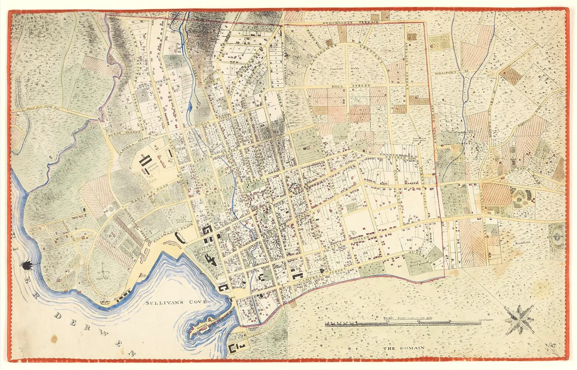
Two fish ladders help native fish move past culverts near Parliament Street and Regent Street. They are practical pieces of urban ecology, not visitor attractions with dedicated parking. Observe from public land and do not enter the channel, culverts or fenced drainage infrastructure.
_(15205244415).jpg)
The lower catchment and Long Beach
The rivulet reaches the Derwent in Sandy Bay, near a heavily used foreshore. Stormwater after rain can carry litter and contaminants downstream, so follow public health advice before swimming and keep waste out of street drains.
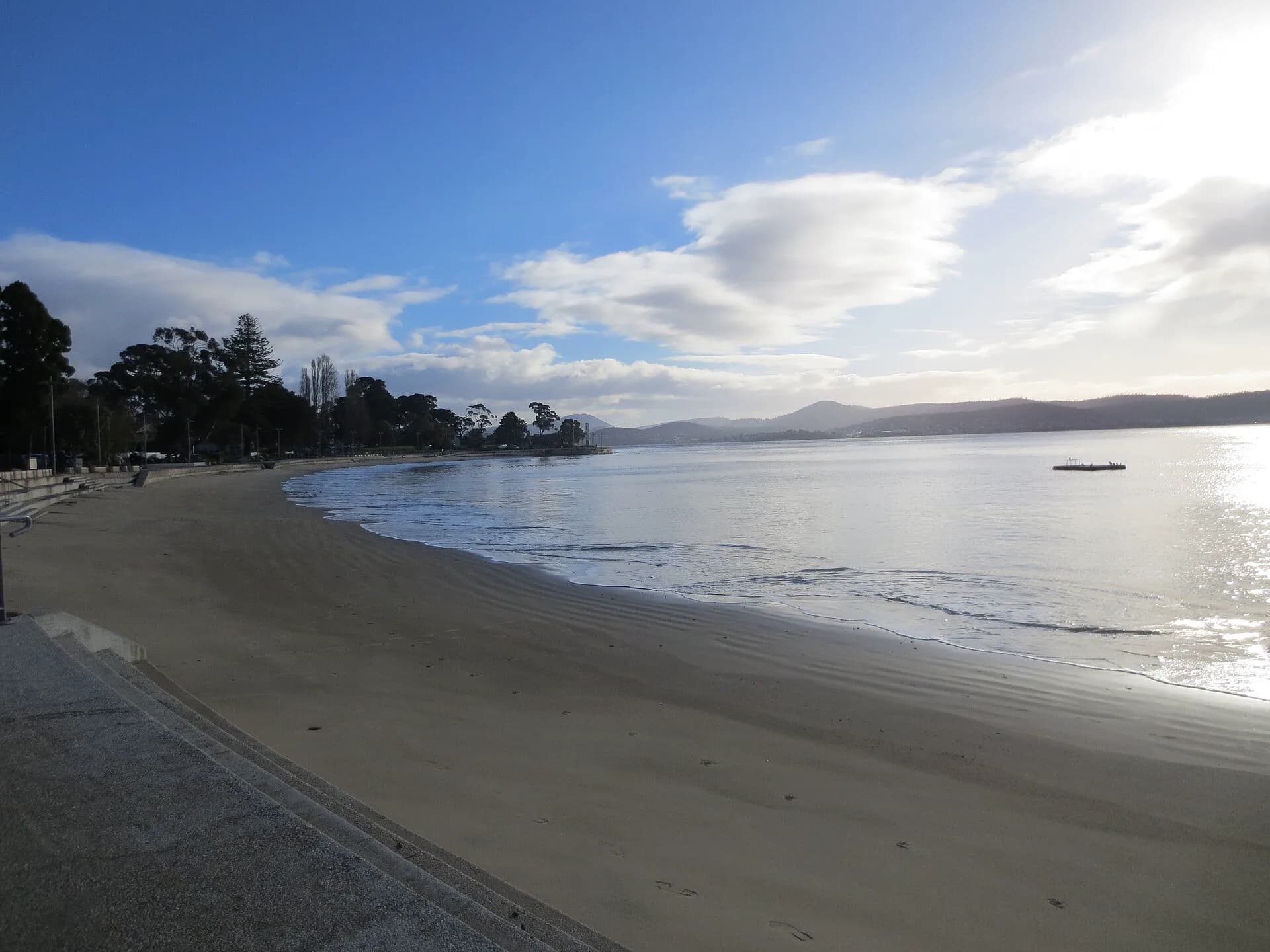

For public routes nearby, use the Sandy Bay guide, the city’s formal paths or a separate visit to kunanyi / Mount Wellington. The rivulet plans are useful for understanding the catchment, but they do not turn every bank into a right of way.