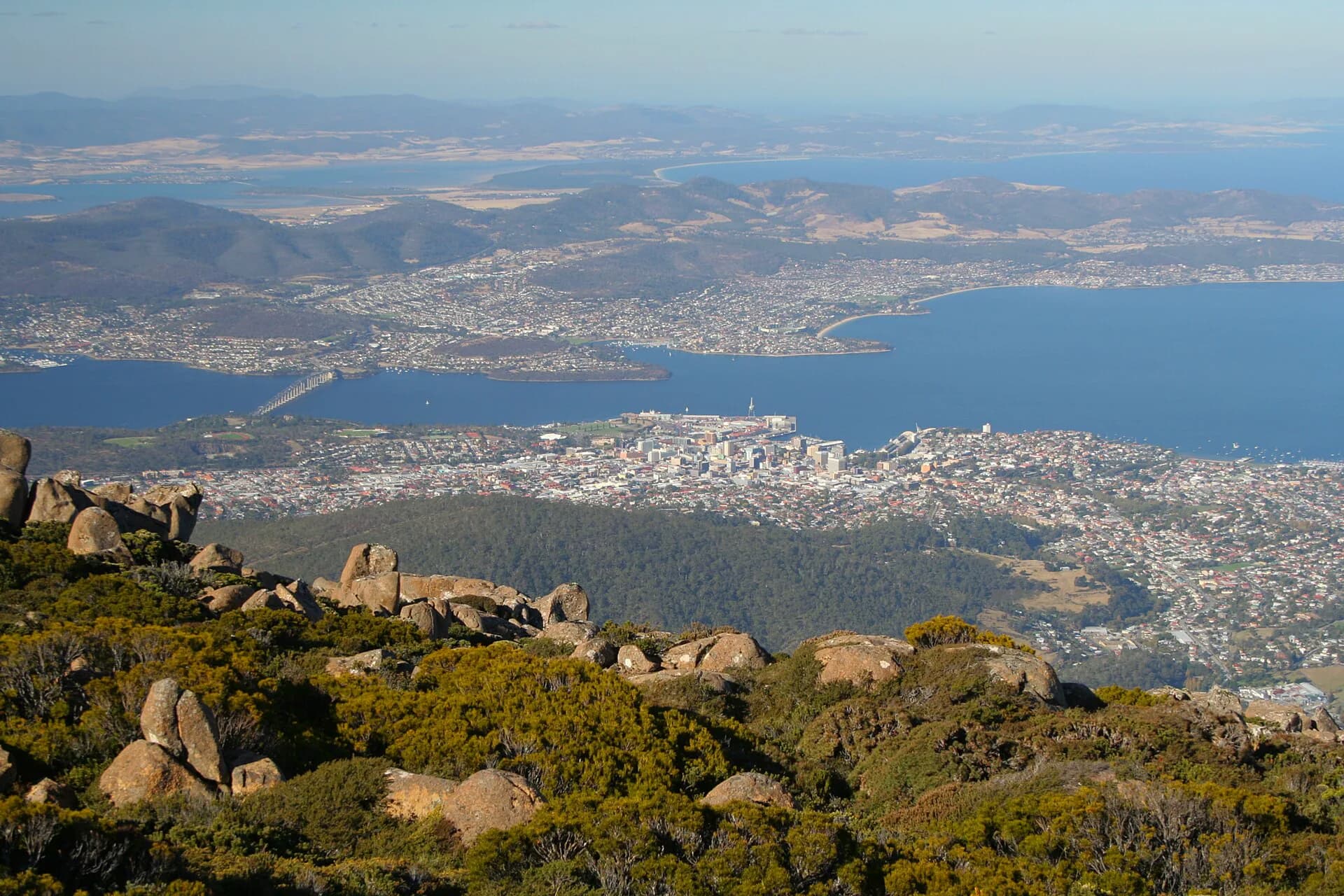

Hobart rewards a slower plan. The waterfront gives a clear first orientation, but the city’s character becomes easier to understand along rivulets, suburban high streets, public gardens and cross-river routes.
Begin with one connected walk
Link Sullivan’s Cove, the central grid and Battery Point rather than driving between individual landmarks. The architectural walk explains why warehouses, civic buildings and residential streets occupy different ground.
Follow water inland
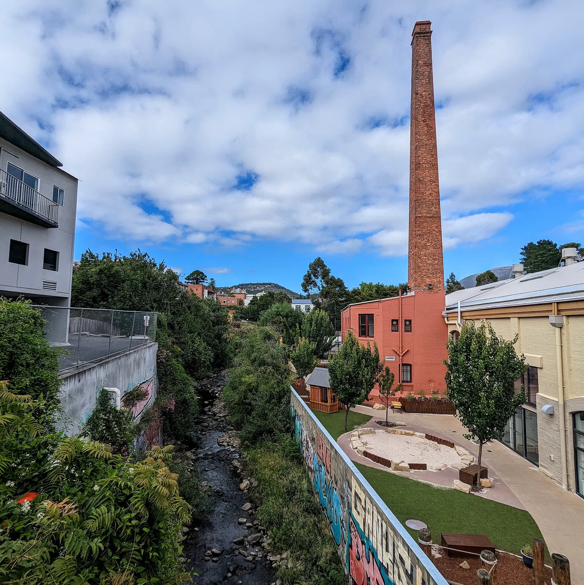
The Hobart Rivulet track leads from the city towards South Hobart and the Cascades. It reveals flood channels, industrial history and the way fresh water influenced the original British settlement. Other waterways, including the New Town Rivulet, connect suburban parks with foothill country.

Use neighbourhood centres
New Town, Moonah, Sandy Bay and eastern-shore suburbs each have their own shops, parks and transport patterns. Choose one and spend several hours rather than collecting distant cafés or viewpoints. The Hobart guide links these neighbourhoods with practical transport advice.
Gardens and ordinary public space
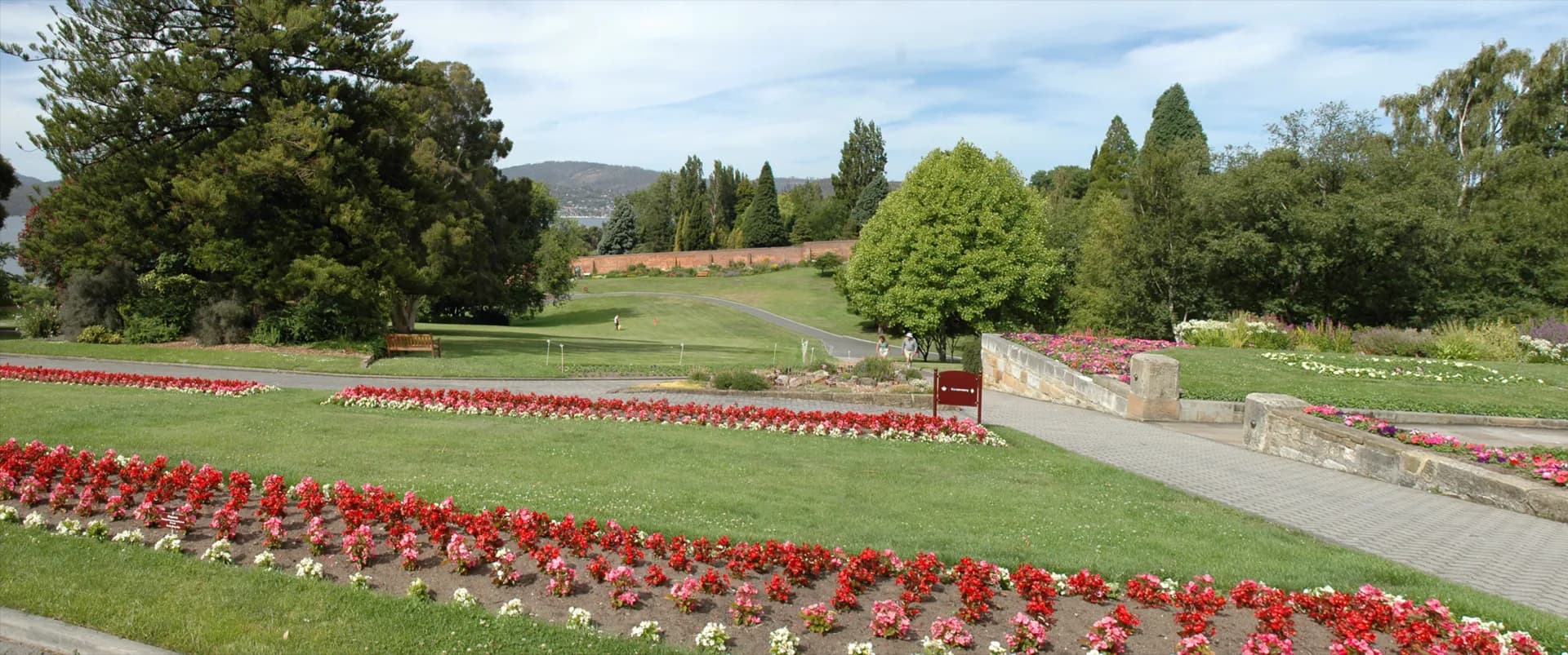
The Royal Tasmanian Botanical Gardens, Queens Domain and smaller city parks give room to understand plants, memorials and public landscape design. Check current access and events because large gatherings can change parking and paths.

Let conditions shape the day
kunanyi / Mount Wellington can be clouded, icy or closed while the waterfront remains calm. Use the current mountain forecast and road status, and keep a city alternative. Ferries and buses can also make a cross-river trip more useful than another drive.
There is no single “local” itinerary. A good plan follows public places, treats residential areas respectfully and leaves enough time to notice how the river and mountain remain visible from everyday streets.