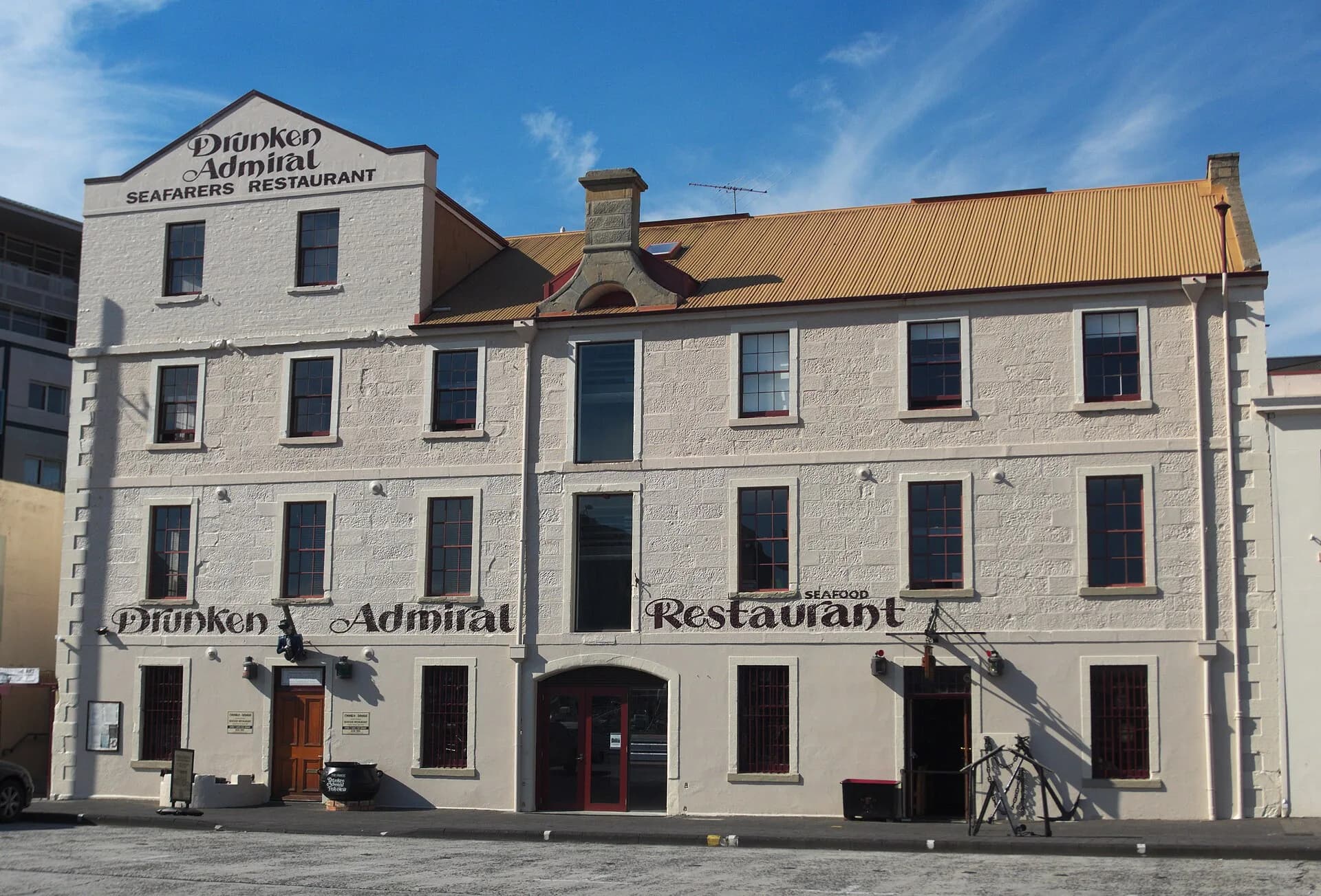

Hunter Island no longer appears as an island on modern maps. It lies beneath Hunter Street and the Old Wharf precinct on Hobart’s waterfront, joined to the shore and surrounded by reclaimed land during the nineteenth century.
A small island in the first cove
When the British settlement moved to Sullivan’s Cove in 1804, a small island stood near the mouths of the Hobart and Domain rivulets. A sandbar connected it to the western shore. Reclamation, a causeway and diverted watercourses progressively changed the site.
By 1825, convict labour had constructed the “New Cut” to carry the combined rivulets beside the causeway. The natural shoreline and most visible evidence of the island disappeared under wharves, roads and buildings.

Old Wharf and the warehouse row
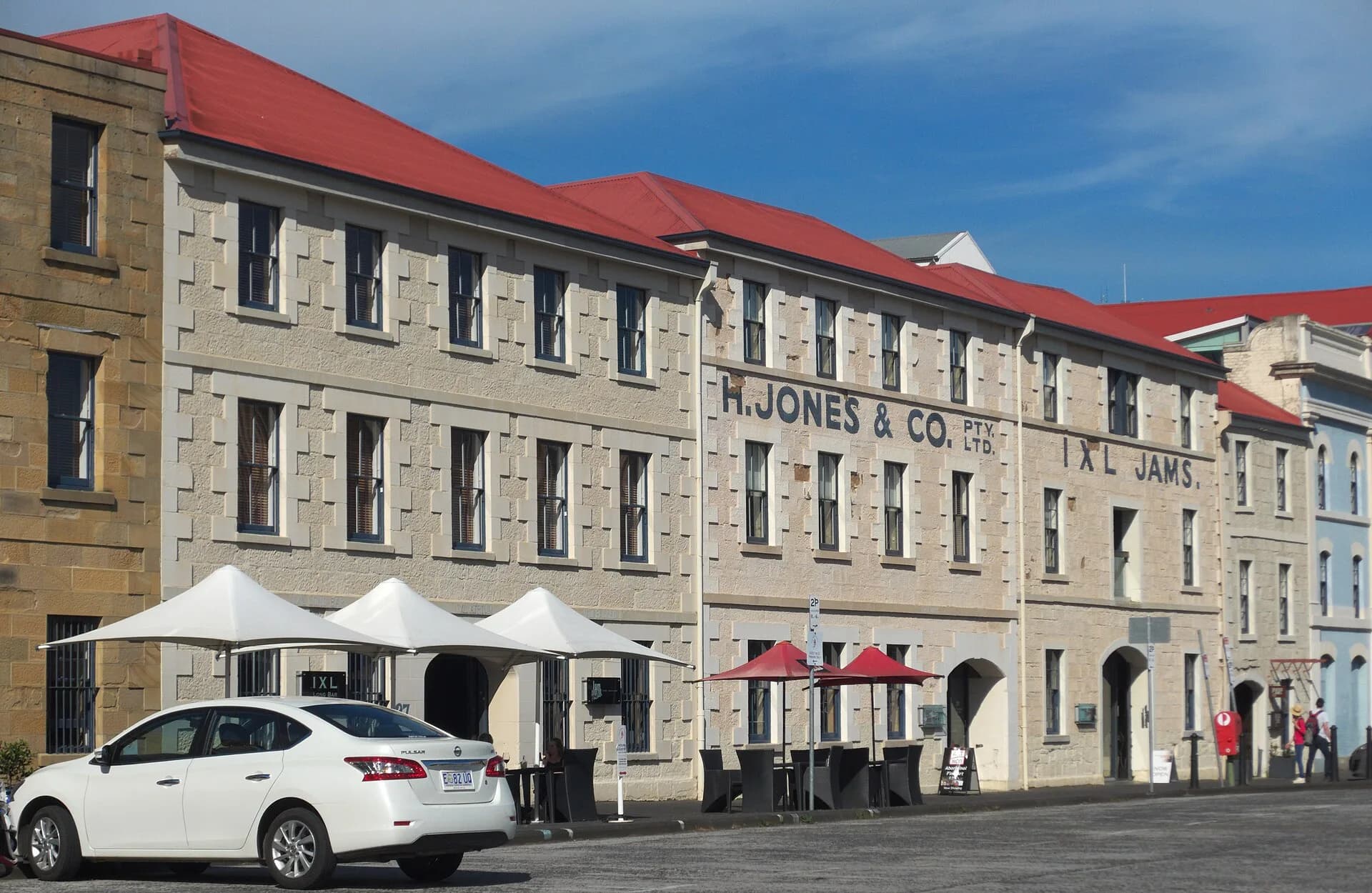
Old Wharf developed in the 1820s as Hobart’s principal mercantile wharf. Stone and brick warehouses stored goods beside deep-water berths. Several buildings survive along Hunter Street, recording the port’s growth even though their uses have changed.
The archaeological value continues below ground. City planning documents identify high potential for deposits associated with the island topography, early structures, yards and working waterfront.

How to explore it today
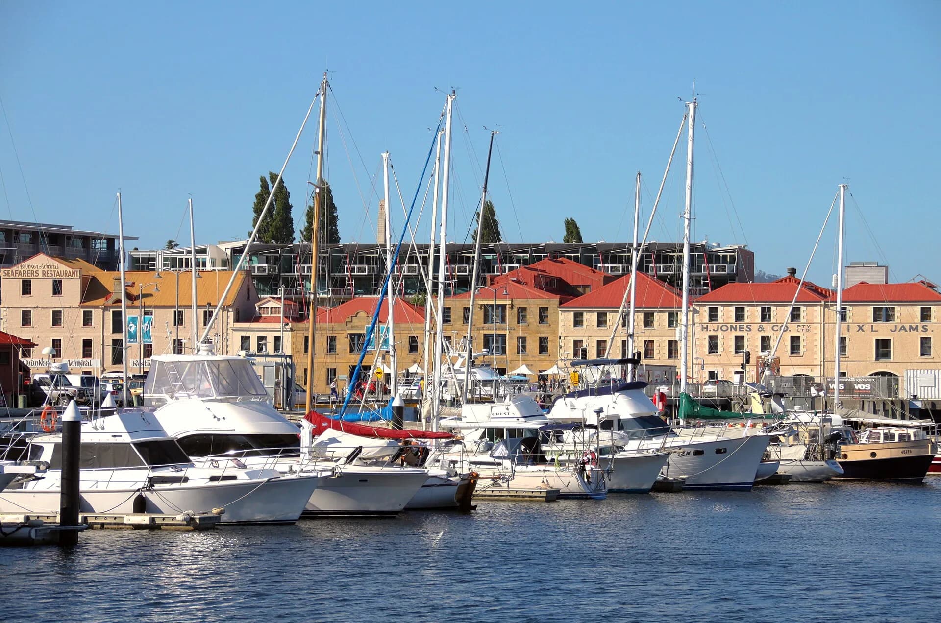
Walk Hunter Street from the waterfront and compare the warehouse line with Salamanca Place across the cove. Building fronts are publicly visible, but interiors have separate commercial or institutional access.
The modern road makes the old island hard to imagine. Look for the curve of the cove, the position of the rivulet mouths and the relationship between warehouse doors and water. These clues explain why Hobart’s first major wharf occupied this particular ground.