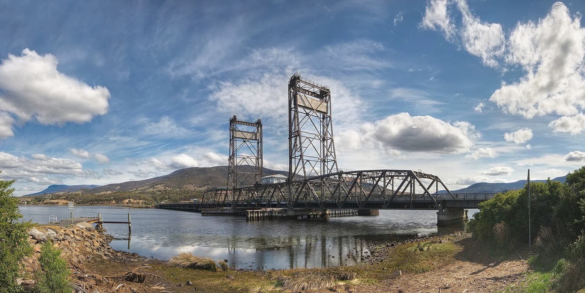

Granton occupies the western shore of the River Derwent near the Bridgewater crossing. Roads, railway, causeways and successive bridges have made it a transport place more than a conventional visitor centre.
A strategic crossing
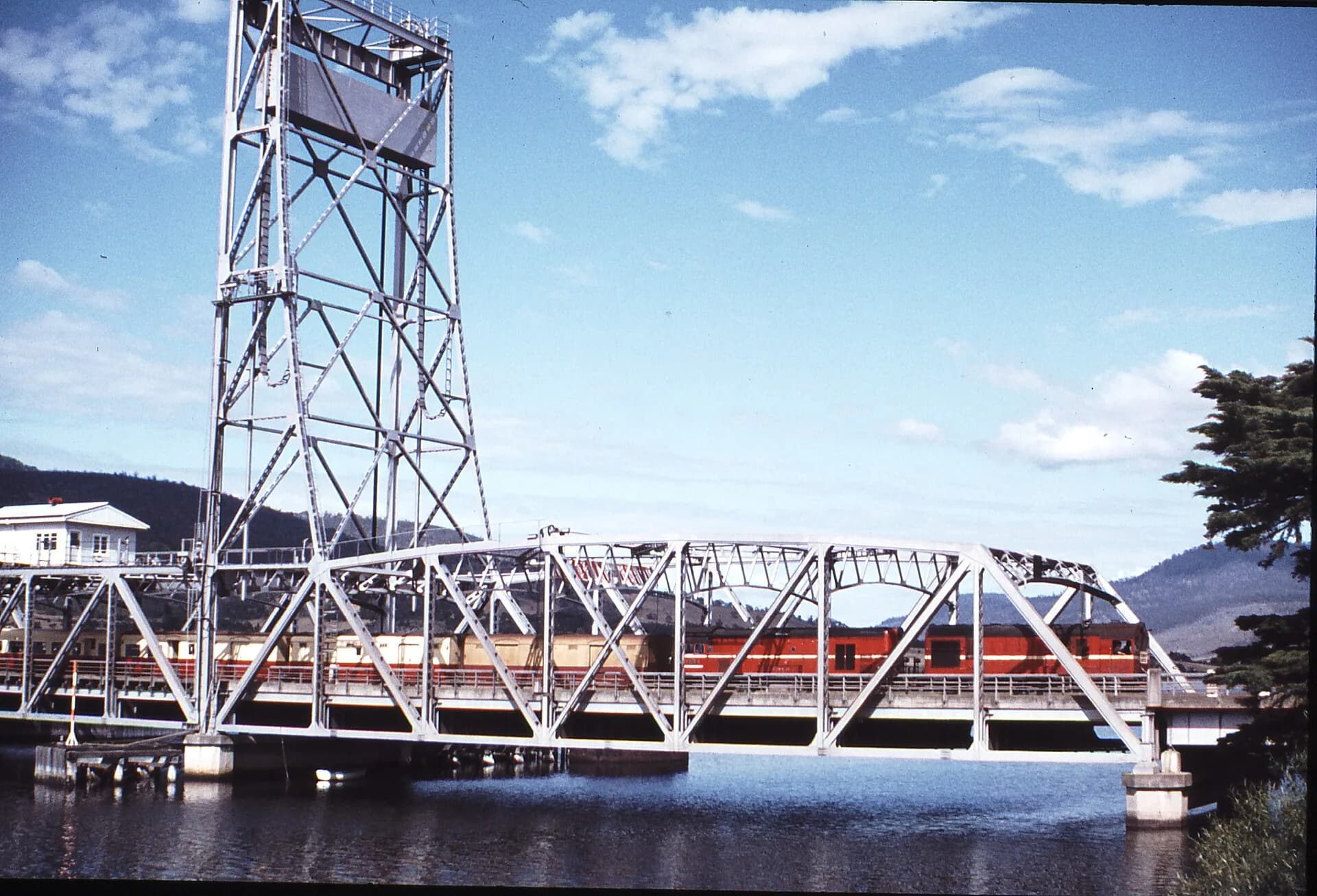
The river narrows here, and colonial roads, the Main Line railway and modern highways converged around the crossing. New infrastructure has changed traffic patterns, views and access while older causeway elements remain visible.

Foreshore and nearby reserves
Public river access is fragmented by roads, private land and infrastructure. Use signed reserves and paths rather than following apparent tracks beneath bridges or across operational areas.


The estuary is tidal, with mudflats and bird habitat. Weather, fast water and boating traffic make informal swimming unsafe.
A place to understand in context
Granton has limited visitor services. Nearby Bridgewater provides everyday facilities, while Austins Ferry has public reserves and broader suburban connections.
Combine Granton with the names of the River Derwent or a Hobart history route. Do not stop on highway shoulders for bridge photographs.