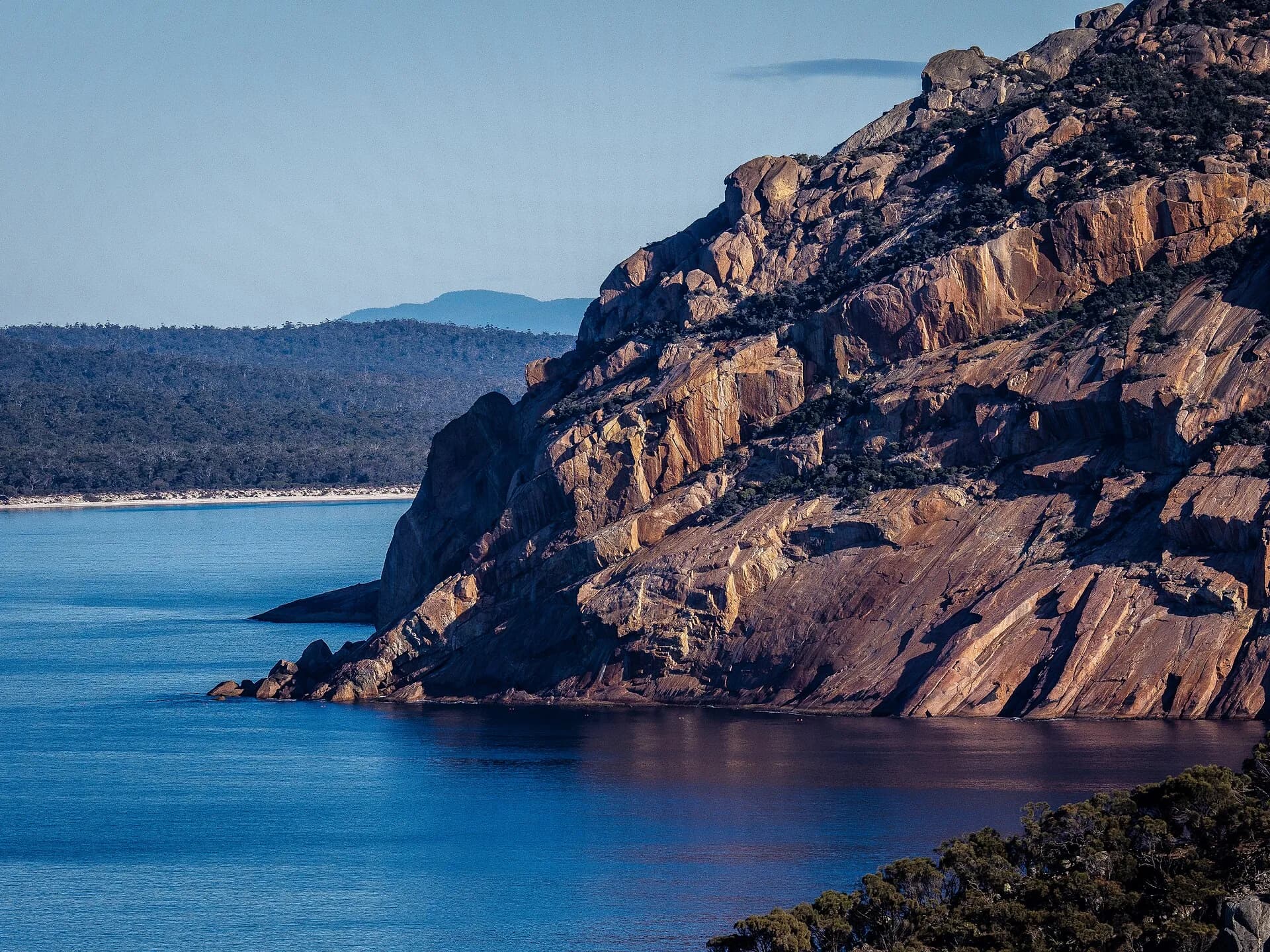

Freycinet Peninsula projects into the Tasman Sea south of Coles Bay. The granite peaks of the Hazards divide sheltered Great Oyster Bay from a more exposed eastern coast, creating a national park of beaches, rocky headlands, dry forest and longer peninsula walks.
Use Coles Bay as the service base
Coles Bay is the nearest settlement for accommodation, food and tour departures. The Freycinet visitor centre sits at the entrance to the main walking area. Begin there for current track, parking, fire and weather information.
A valid parks pass is required in the national park. Parking around the Wineglass Bay trailhead can be heavily used during holidays and fine-weather weekends. Arrive with time to spare and follow traffic directions rather than stopping along narrow road edges.
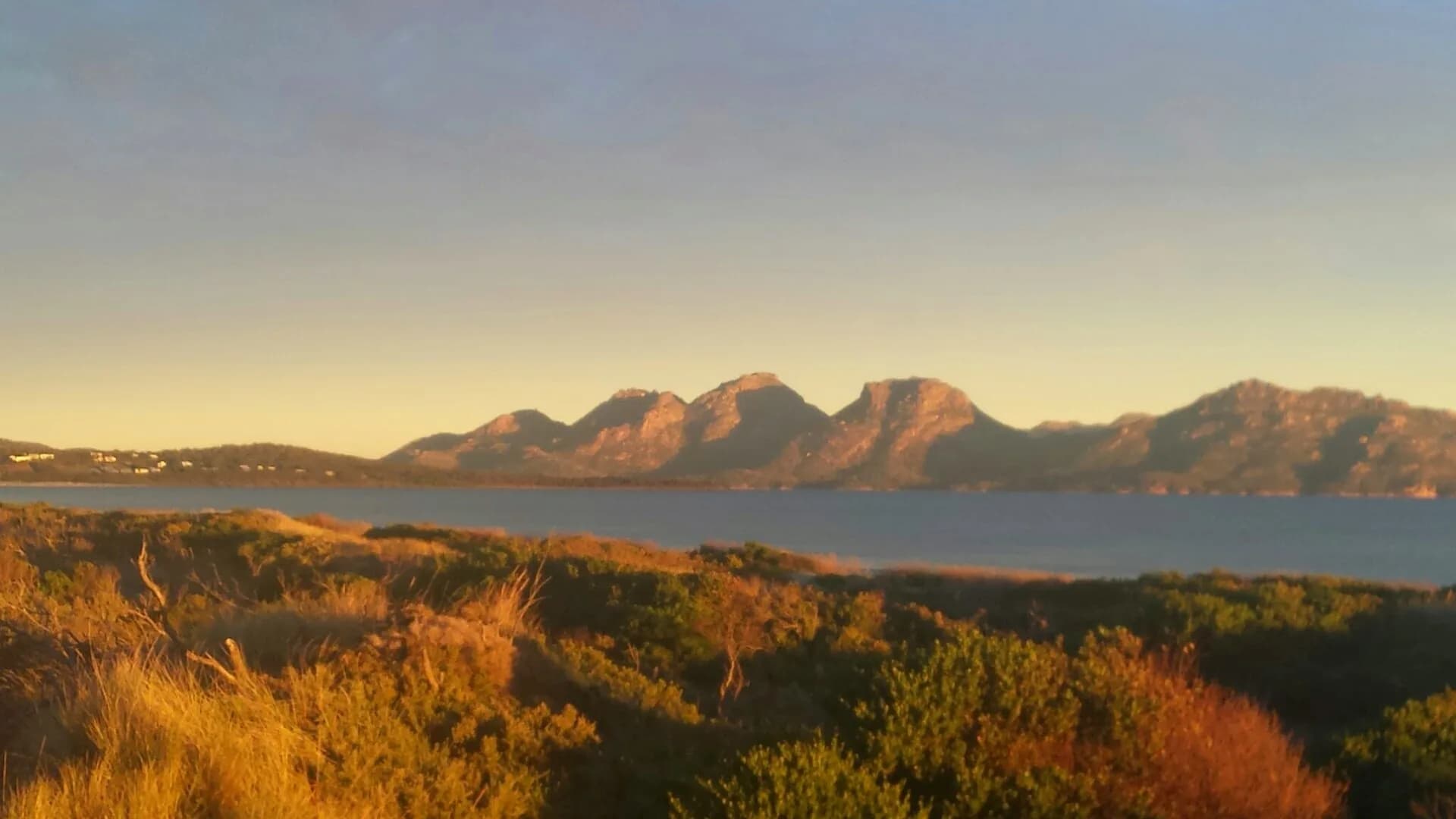

Wineglass Bay Lookout is only one option
The lookout walk climbs steeply on a formed track between granite slopes. The view depends on weather and visibility, and the return still requires careful footing. Allow more time than a flat walk of similar distance.
Descending from the saddle to Wineglass Bay adds a significant climb on the return. A beach visit and a lookout visit are different undertakings. Check the official walk grading and carry enough water before deciding at the junction.
The Wineglass Bay and Hazards Beach circuit creates a longer loop through contrasting coasts. It needs more time, food and preparation than the lookout. Longer peninsula routes are remote walks requiring current maps, suitable equipment and careful planning.
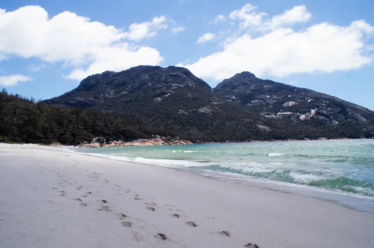

Shorter coastal stops
Cape Tourville provides an accessible coastal viewpoint and lighthouse boardwalk, subject to current access. Sleepy Bay, Honeymoon Bay and other small coves offer shorter stops, but car parks can fill and shore conditions vary.
Do not treat every bay as a swimming beach. Water can be cold, beaches may be unpatrolled and swell can change quickly. Check local warnings and supervise children closely around rock platforms and shore breaks.
Granite, plants and wildlife
The peninsula’s pink and grey granite is central to its landscape. Thin soils and salt exposure shape the dry forest, heath and coastal vegetation. Stay on formed tracks because trampling widens paths and damages plants that grow slowly in exposed conditions.
Wallabies and other wildlife may appear near visitor areas. Never feed them, secure food and keep distance. Drive slowly around dawn and dusk, when animals are active near park roads.
.jpg)
Weather, fire and drinking water
The East Coast is generally drier than western Tasmania, but heat, wind and sudden weather changes still affect exposed walks. Carry water rather than relying on finding safe drinking water on track. Sun protection matters even on a cool day.
Fire restrictions, track closures and smoke can change plans. Check Parks Tasmania alerts and emergency information before entering the park. If a track or area is closed, do not cross barriers or assume conditions are safe because other visitors are present.
Day trip or overnight stay
A day trip can cover one main walk and a short coastal stop. It becomes rushed when combined with Bicheno, Swansea and several beaches. Staying two nights gives a full walking day and allows the choice of route to follow the weather.
If travelling the wider East Coast, pair Freycinet with Bicheno or Swansea as separate stops. The Tasman Highway guide helps place these towns within a realistic route.
A practical first visit
Arrive early, check conditions at the visitor centre and choose either the Wineglass Bay Lookout or a longer circuit. Keep the afternoon for Cape Tourville or a sheltered bay. Build in time for parking, track congestion and changing conditions.
The peninsula deserves more than a photograph from the saddle. Its two coasts, granite geology and changing vegetation become clearer when the itinerary includes at least one walk away from the busiest viewpoint.