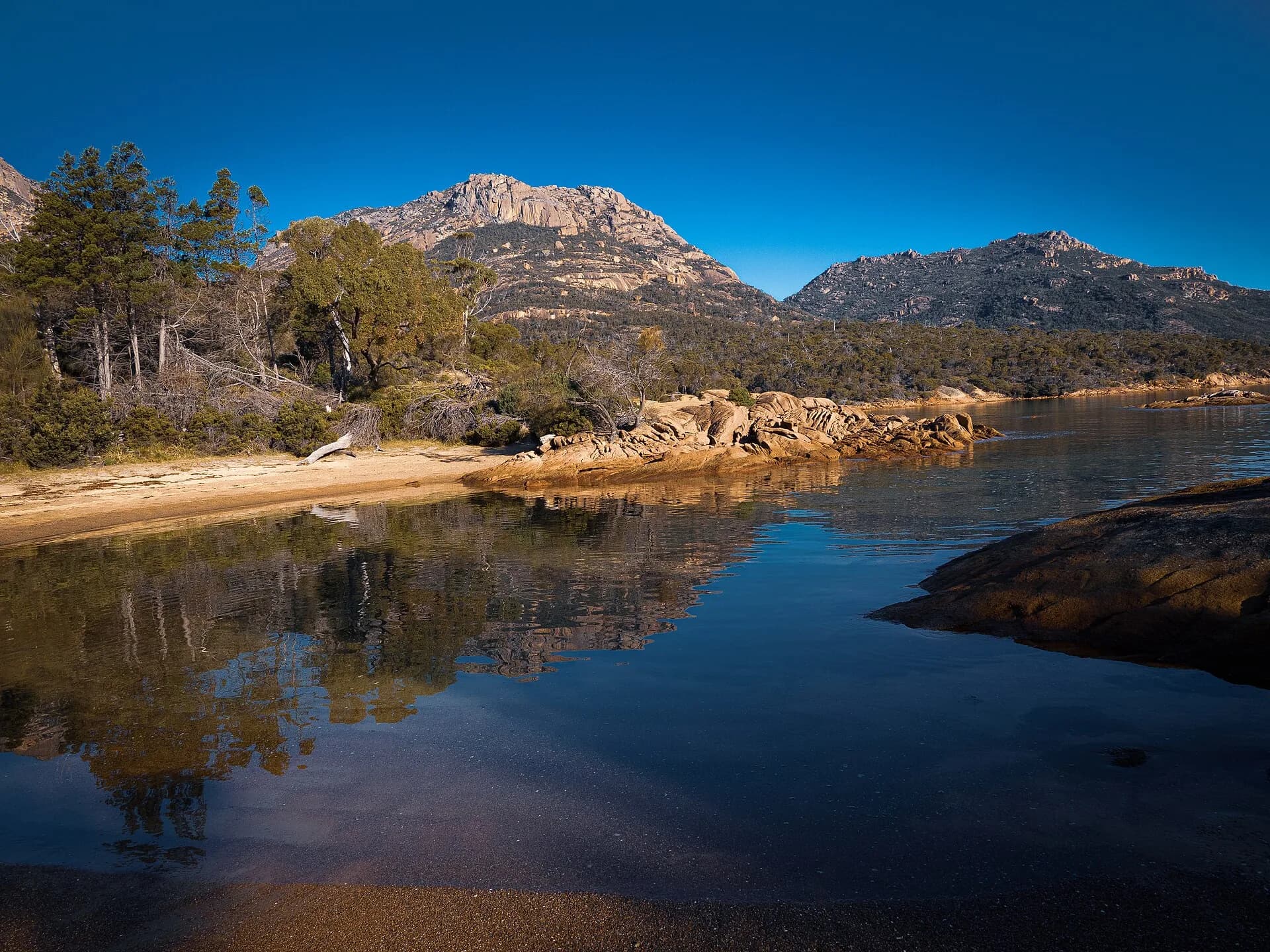

The Tasman Highway links Hobart with the East Coast and St Helens. It is a transport corridor through suburbs, farm districts, forest and coastal towns, not a single scenic drive that should be rushed in one sitting.
Hobart to Orford
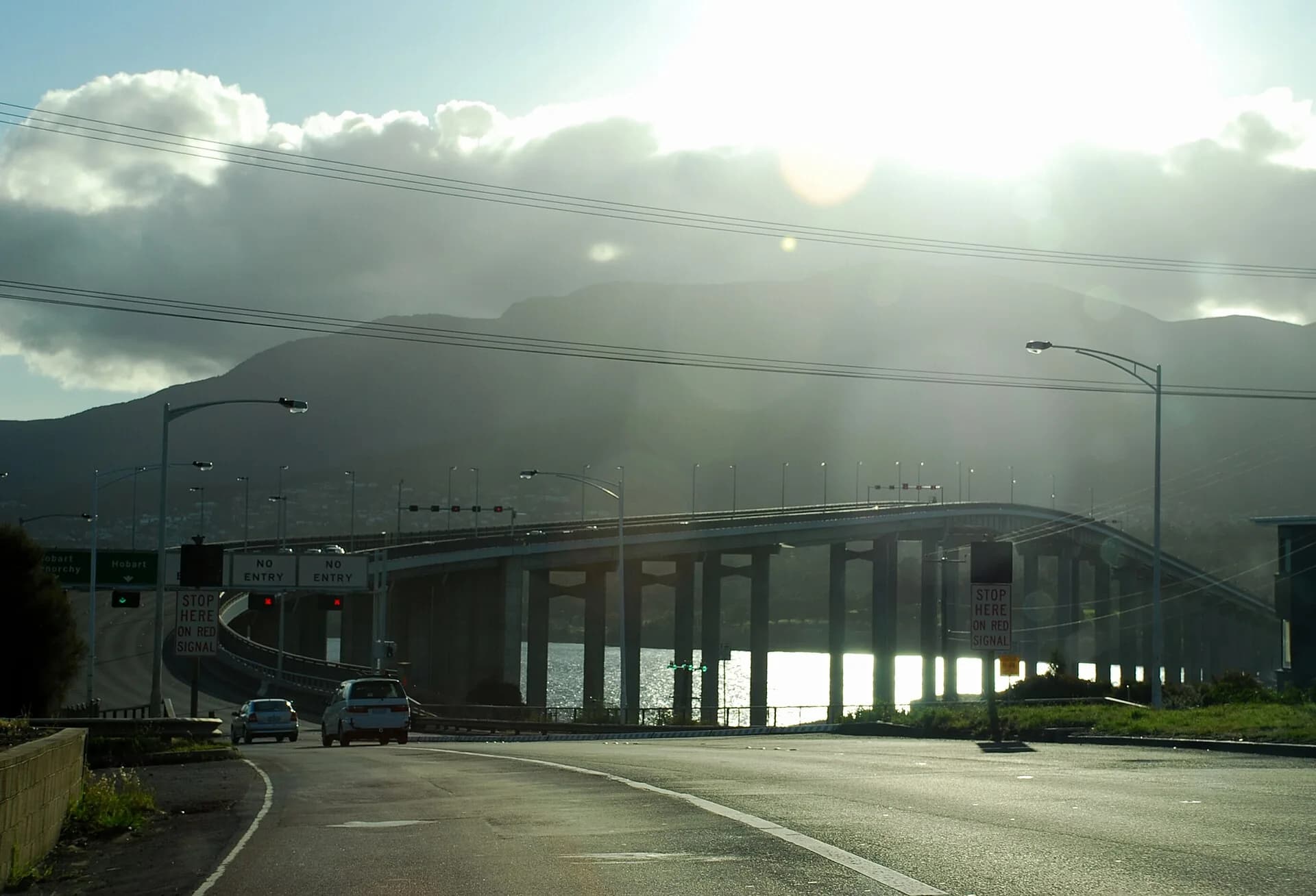
Leave Hobart across the Tasman Bridge and follow the highway through the eastern suburbs to Sorell. Beyond Sorell, services thin out as the road crosses farm country through Buckland to Orford and Triabunna.

Sorell is the useful place to buy supplies. Orford and Triabunna make a natural first section, especially when a Maria Island ferry booking controls the day.
Great Oyster Bay and Freycinet turn-off
The road continues through Little Swanport and Swansea beside Great Oyster Bay. Coles Bay and Freycinet National Park require a substantial side trip, a parks pass and their own walking plan.
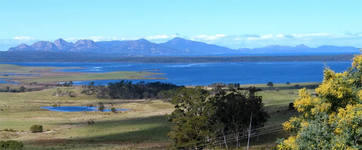

Do not treat Wineglass Bay as a quick roadside stop. Summer congestion and limited parking can consume much of a day.
Bicheno to St Helens
Bicheno provides fuel, food and accommodation before the highway runs north through Scamander to St Helens. Beaches are unpatrolled, wildlife is common at road edges and holiday traffic can make travel times unpredictable.


Allow at least two days for a basic journey and longer for Maria Island or Freycinet. Check State Growth closures and Tasmania Police alerts, refuel before late arrivals and avoid driving after dark. The East Coast guide helps divide the route into useful bases.