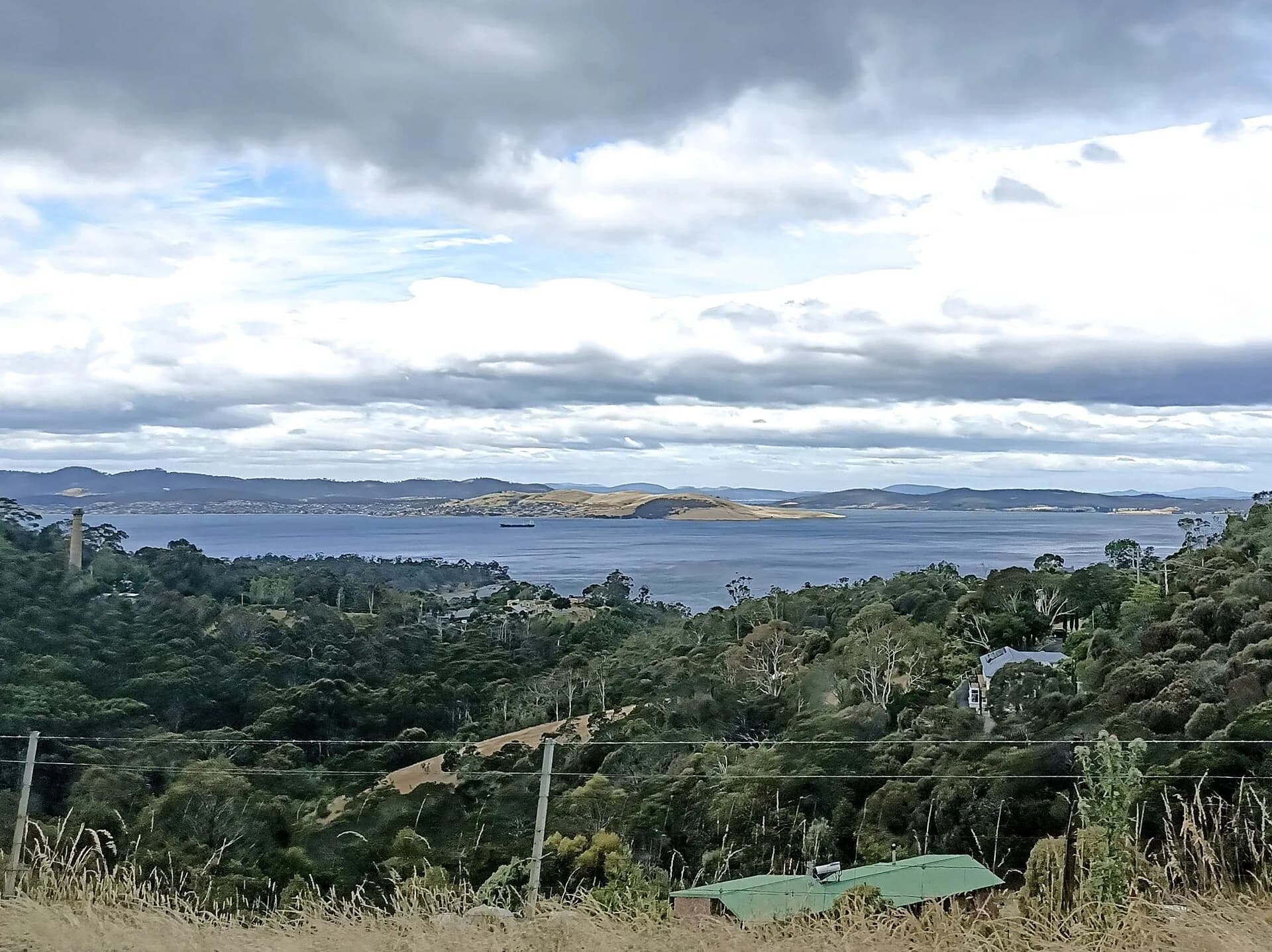

Brown's River Probation Station operated at present-day Taroona during the 1840s. Convict labour from the station helped build the road between Hobart and Brown's River, now Kingston, along the corridor followed by the Channel Highway.
What the station was for
The probation system organised newly transported men into stages of labour, surveillance and conditional freedom. At Brown's River, the major task was road construction. Kingborough Council records that the station held about 370 prisoners at its peak and closed in 1851 after numbers declined.
The surviving evidence is dispersed. Former station land includes archaeological remains, altered buildings and private properties around Taronga Road. Do not enter private land or infer public access from a heritage description.


Walk the Brickfields Track
The public Brickfields Track links the Alum Cliffs route with the Channel Highway. It passes the remains of a brick-making area associated with the probation station. The council grades it as a narrow bush track with multiple steps.
Cliff edges, wet surfaces and road crossings require care. The track reveals part of the industrial landscape, while most accommodation and administrative sites are not presented as a complete open-air complex.

Put the site in context
Brown's River was one node in a much wider convict probation network. The convict history of Tasmania explains the system, and Port Arthur shows a much larger institutional landscape.
At Taroona, read the road, brickfields and scattered remains together. This approach is more accurate than expecting an intact station building or a staffed museum.