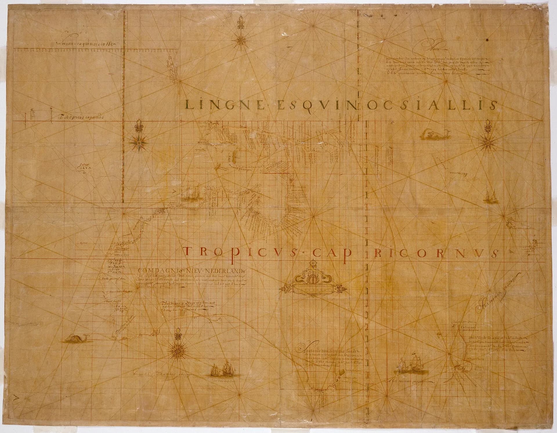

Abel Janszoon Tasman led the first known European expedition to sight and chart part of Tasmania. Calling this the island’s discovery is misleading. Tasmanian Aboriginal people had lived on lutruwita for tens of thousands of years and possessed detailed knowledge of its lands and waters.
The Dutch East India Company expedition
Tasman sailed from Batavia in August 1642 in the Heemskerck and Zeehaen. The Dutch East India Company wanted knowledge of southern lands, trade opportunities and safer routes. Navigator and hydrographer Frans Jacobszoon Visscher played an important role in planning and charting.
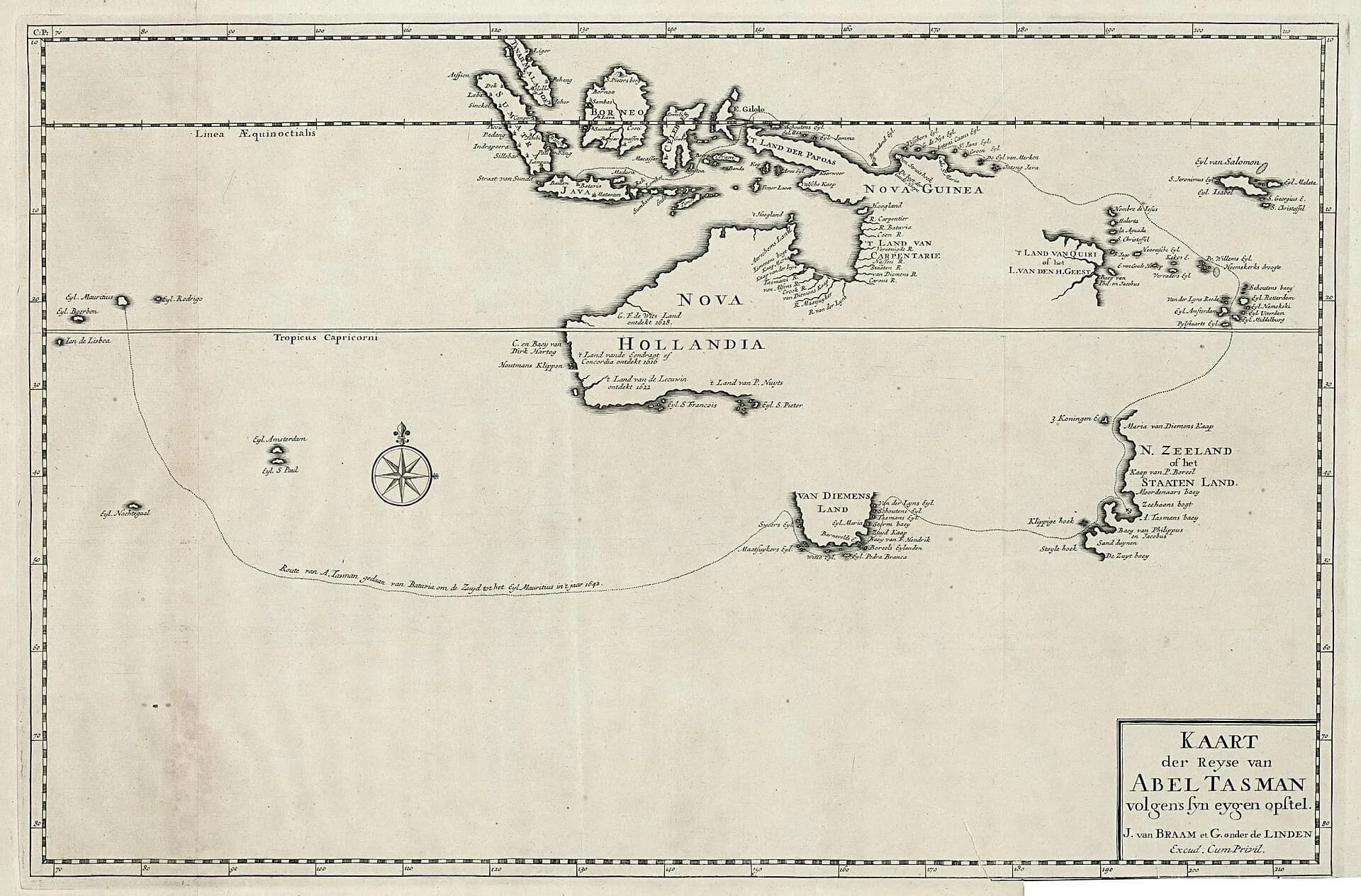
On 24 November, the expedition sighted mountains on the west coast. Tasman named the land Anthony van Diemen’s Land after the company’s governor-general.

Following the south coast
The ships worked around the south and east, anchoring near what is now the Forestier Peninsula. Members of the expedition went ashore, planted the Dutch flag and left a record of possession. They saw smoke, heard sounds and observed cut notches in trees, clear evidence the land was inhabited, but did not meet Aboriginal people.
Tasman’s chart outlined only part of the coast. He did not establish that the land was an island and did not pass through Bass Strait. The voyage continued east to Aotearoa New Zealand and then through the Pacific.
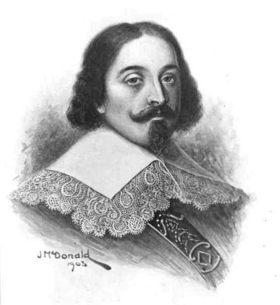
.jpg)
What the map changed
The voyage placed a new outline and the name Van Diemen’s Land on European maps. Later navigators corrected and extended that charting. The introduced name remained official under British rule until Tasmania took effect in 1856.
Tasman’s records are valuable sources, but they express seventeenth-century commercial and imperial aims. Coastal profiles, compass bearings and journal entries should be read alongside the fact that Aboriginal societies already named, used and cared for every part of the island.
Using the historical sources
The University of Tasmania’s Companion provides a modern synthesis, while digitised editions and maps support closer study. Translations, map reproductions and nineteenth-century biographies vary in accuracy. Record which edition is being used and distinguish Tasman’s contemporary journal from later retellings.
The John Hayes article shows how later European voyages added further names to the Derwent, while the coastal names guide explains how chart labels persisted.