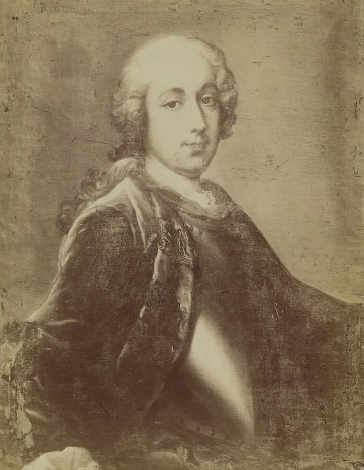

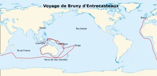
Antoine Raymond Joseph de Bruni d’Entrecasteaux led a French expedition searching for the missing La Pérouse. Recherche and Espérance spent extended periods in southern Tasmania in 1792 and 1793, producing detailed surveys and scientific observations.
Recherche Bay as a base
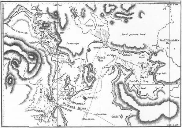
The sheltered bay provided water, timber and a place for repairs. Survey boats traced the channel now named for d’Entrecasteaux, while hydrographer Beautemps-Beaupré applied systematic methods to mapping the coast.

Science and the shore
Naturalist Jacques Labillardière collected plants and recorded landscapes. Expedition members established a garden with European crops. These activities occurred on Aboriginal Country whose people already held detailed knowledge of the environment.

Charts, names and limits
French names remain across the southern map, including Recherche Bay, Huon River and Bruny Island. Voyage records are valuable, but they should be read alongside Aboriginal history rather than treated as the first knowledge of these places.
.png)
Continue with Recherche Bay, John Hayes and Nicolas Baudin.