_Voyage_aux_Terres_Australes._Tome_II._(IA_dr_covers-to-voyage-aux-terres-australes-tome-ii-14352016).jpg)
Nicolas Baudin commanded the French expedition that left Le Havre in 1800 to survey parts of the Australian coast and collect natural-history evidence. Its ships, Géographe and Naturaliste, worked around Van Diemen’s Land during a voyage shaped by science, imperial rivalry, illness and difficult command relationships.
A large scientific expedition
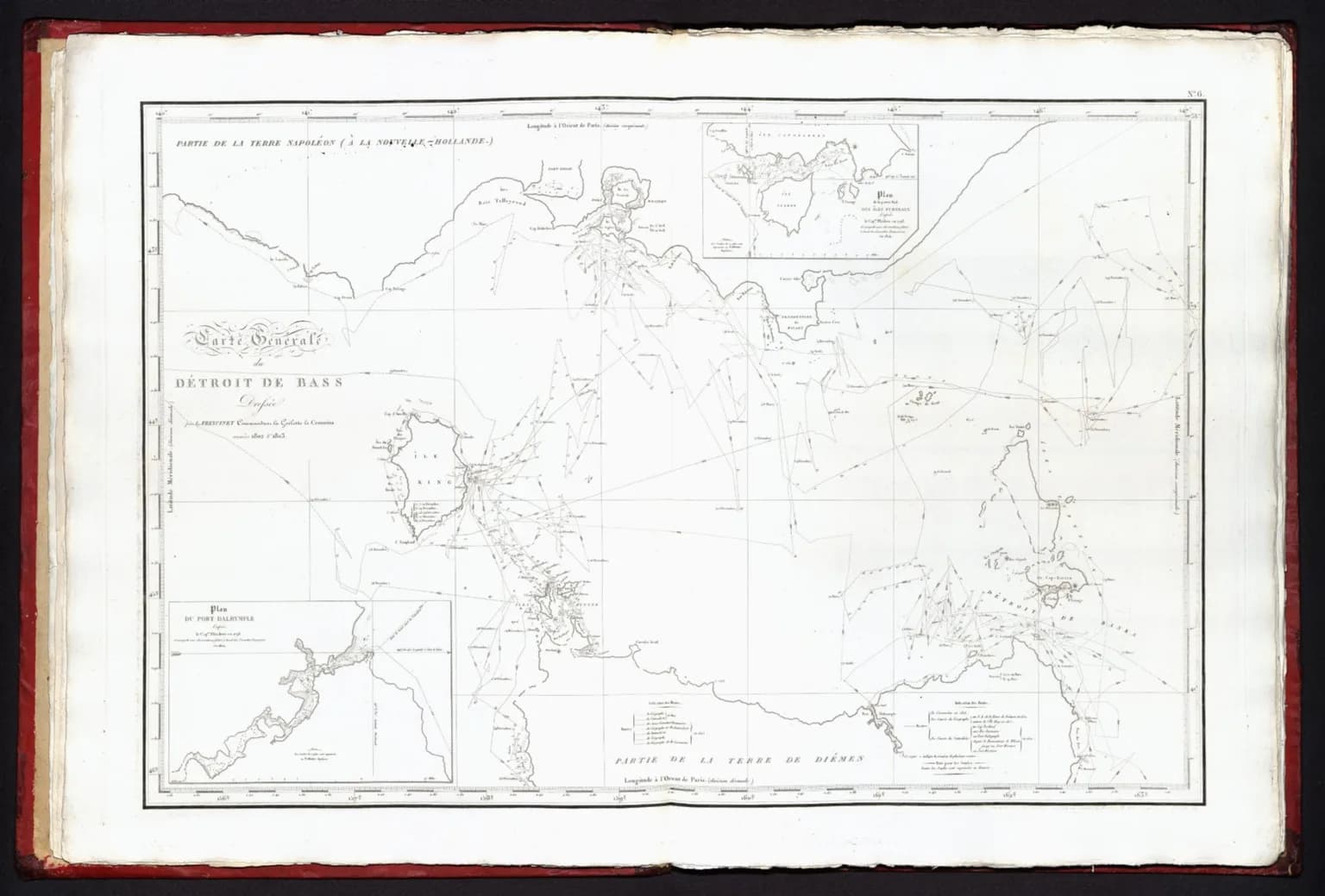
The party included hydrographers, zoologists, botanists, mineralogists and artists. Charles-Alexandre Lesueur and Nicolas-Martin Petit produced detailed images of animals, material culture and people. Louis de Freycinet’s later cartographic work helped turn field observations into published charts.
.jpg)
Tasmania in the voyage record
The expedition surveyed sections of the east and south-east coast, including the approaches to Schouten and Maria islands. Its French place names remain part of Tasmania’s map. These charts were European records made on Aboriginal Country, not the beginning of knowledge about the coast.
.jpg)
Read the images critically
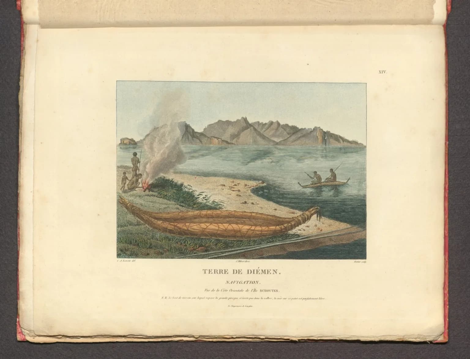
The surviving drawings and collections are valuable evidence, including early European depictions of Tasmanian Aboriginal people. They also reflect the assumptions and collecting practices of a colonial scientific voyage. Museum catalogues and the published voyage should be read alongside Tasmanian Aboriginal scholarship.
Baudin met Matthew Flinders at Encounter Bay in 1802, but the expedition’s significance is broader than a contest between captains. Compare this account with Abel Tasman’s voyage and the history of Tasmania’s name.