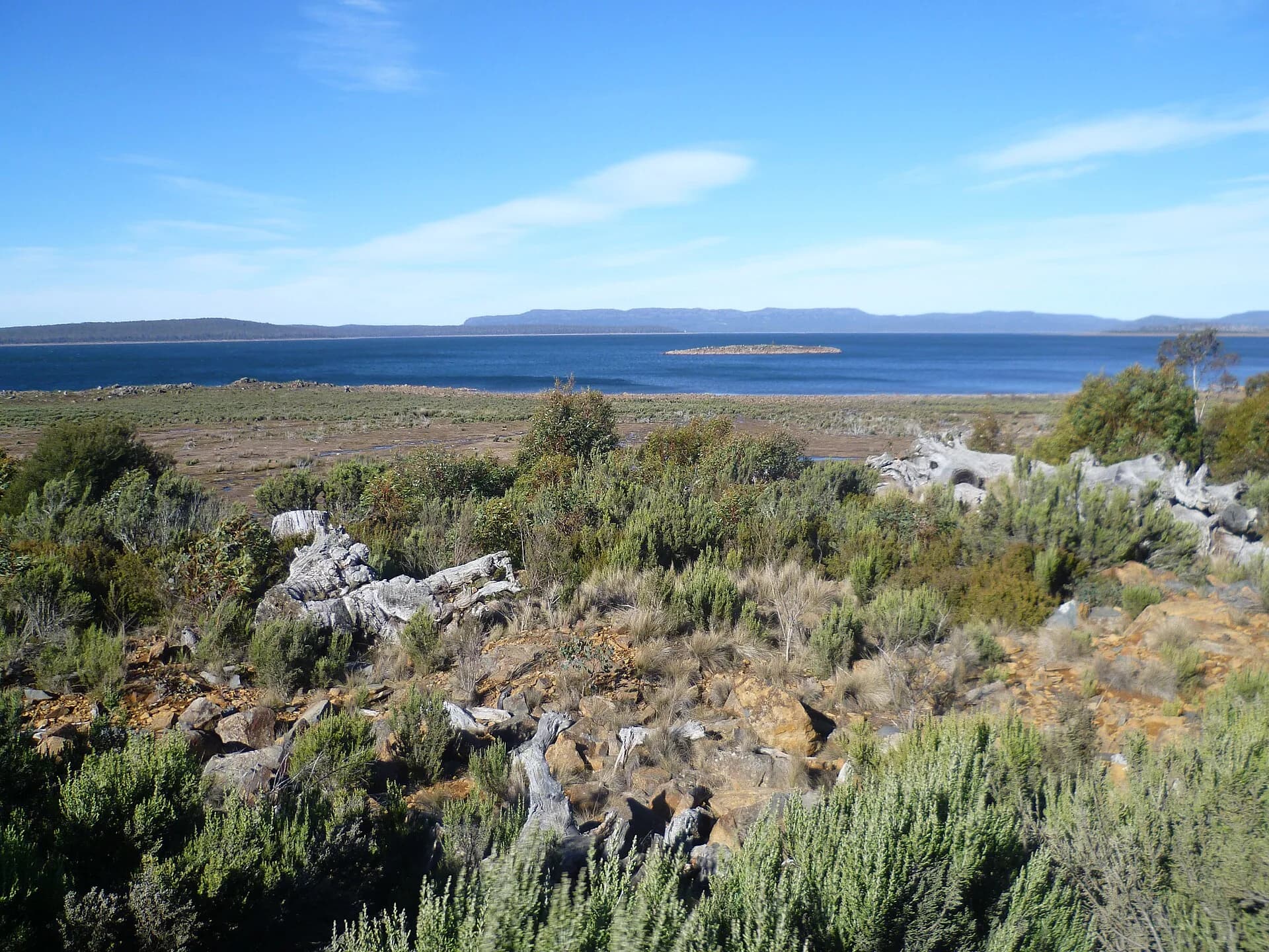

yingina / Great Lake lies 1,034 metres above sea level on Tasmania’s Central Plateau. It is both a distinctive natural lake ecosystem and a managed hydro storage, with exposed shores, small settlements and weather that can change abruptly in every season.
A natural lake enlarged for power generation
The lake was first dammed in 1916. Later dams at Miena increased its storage, and water now travels through a tunnel and penstock to Poatina Power Station beneath the Great Western Tiers. Lake levels respond to rainfall, inflows and power-system operation rather than following a simple natural cycle.
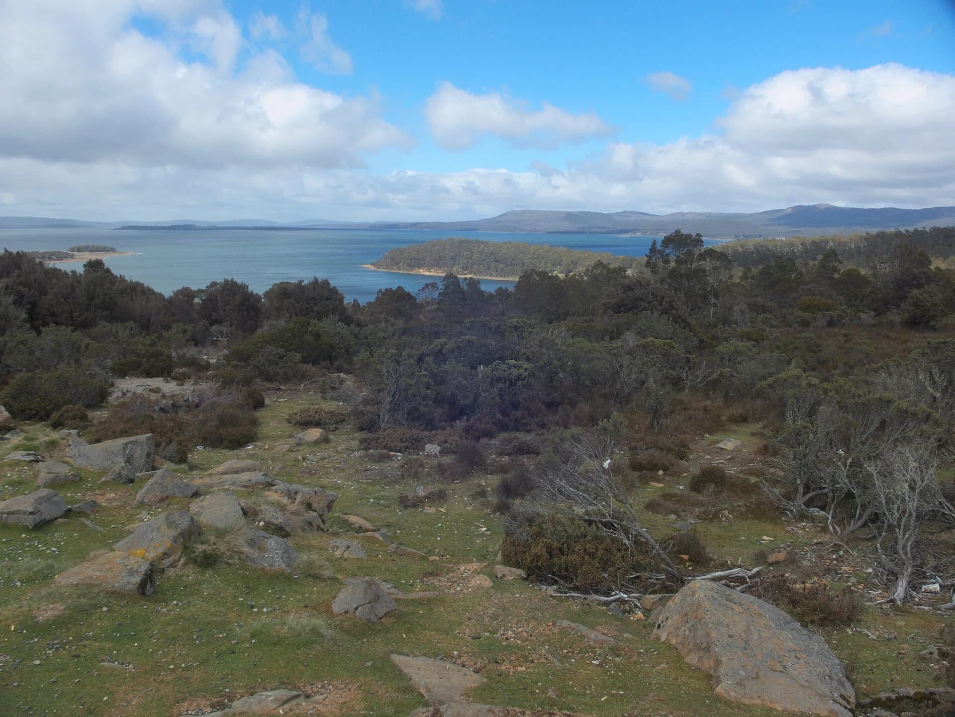

The Inland Fisheries Service records threatened species found only in this ecosystem, including Great Lake and Shannon paragalaxias. Avoid driving on exposed weed beds or moving water, plants or animals between lakes.
Fishing rules differ around the shore
Most of yingina / Great Lake is open to licensed fishing all year, but Tods Corner and Canal Bay have different method or seasonal rules. Tributaries and the water around their mouths are closed. Check the current Inland Fishing Code or Infish app before fishing because dates and limits change.
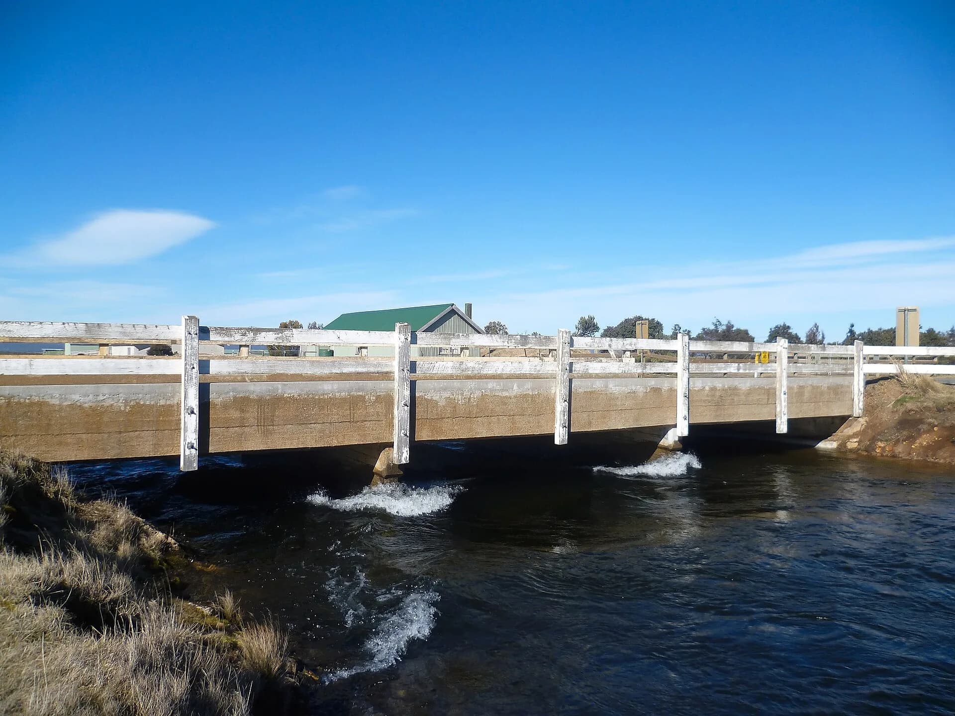

Boat ramps operate across a range of lake levels, with a low-level launching area at Boundary Bay. Low water also reveals shallow ground and submerged hazards. Clean and dry boats, trailers, waders and tackle before moving between waters.
Weather is the main visitor risk
Strong wind can build steep waves quickly across the open water. Cold air, fog, ice and snow are possible outside winter as well as within it. Check marine and mountain forecasts, carry warm waterproof layers and do not launch because a distant shore looks calm.
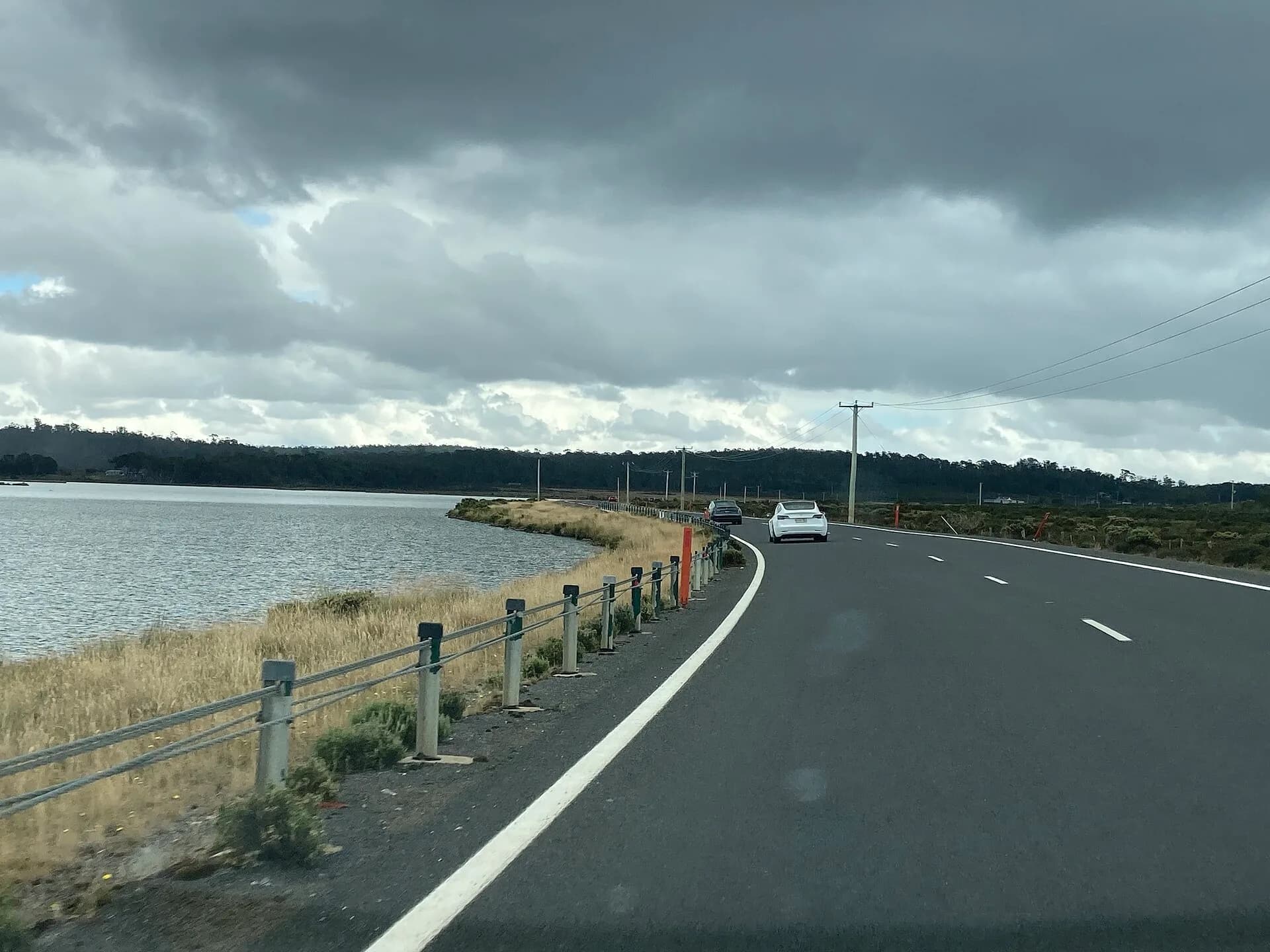

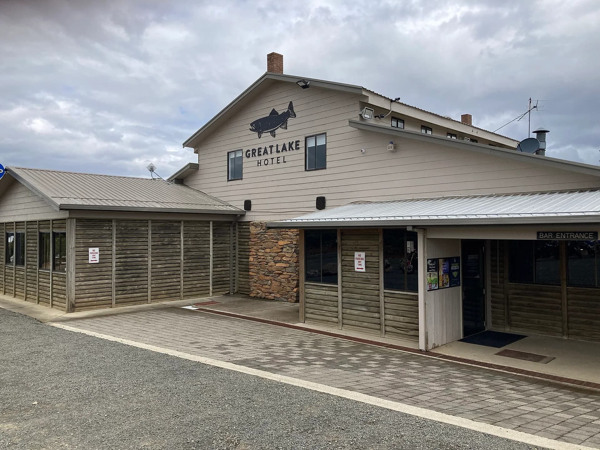
Hydro Tasmania publishes current lake levels and access alerts. Miena has the main local services and a formal camping area, but fuel, food and accommodation hours should be confirmed before the drive.
Build a Central Highlands route
Miena is the practical base on the southern shore. Liawenee provides access on the western side, while the Highland Lakes Road continues between the Central Plateau and the Great Western Tiers.

Do not treat the lake as a quick detour between Launceston and Hobart. Stops are dispersed, roads can be icy and daylight disappears early in winter.