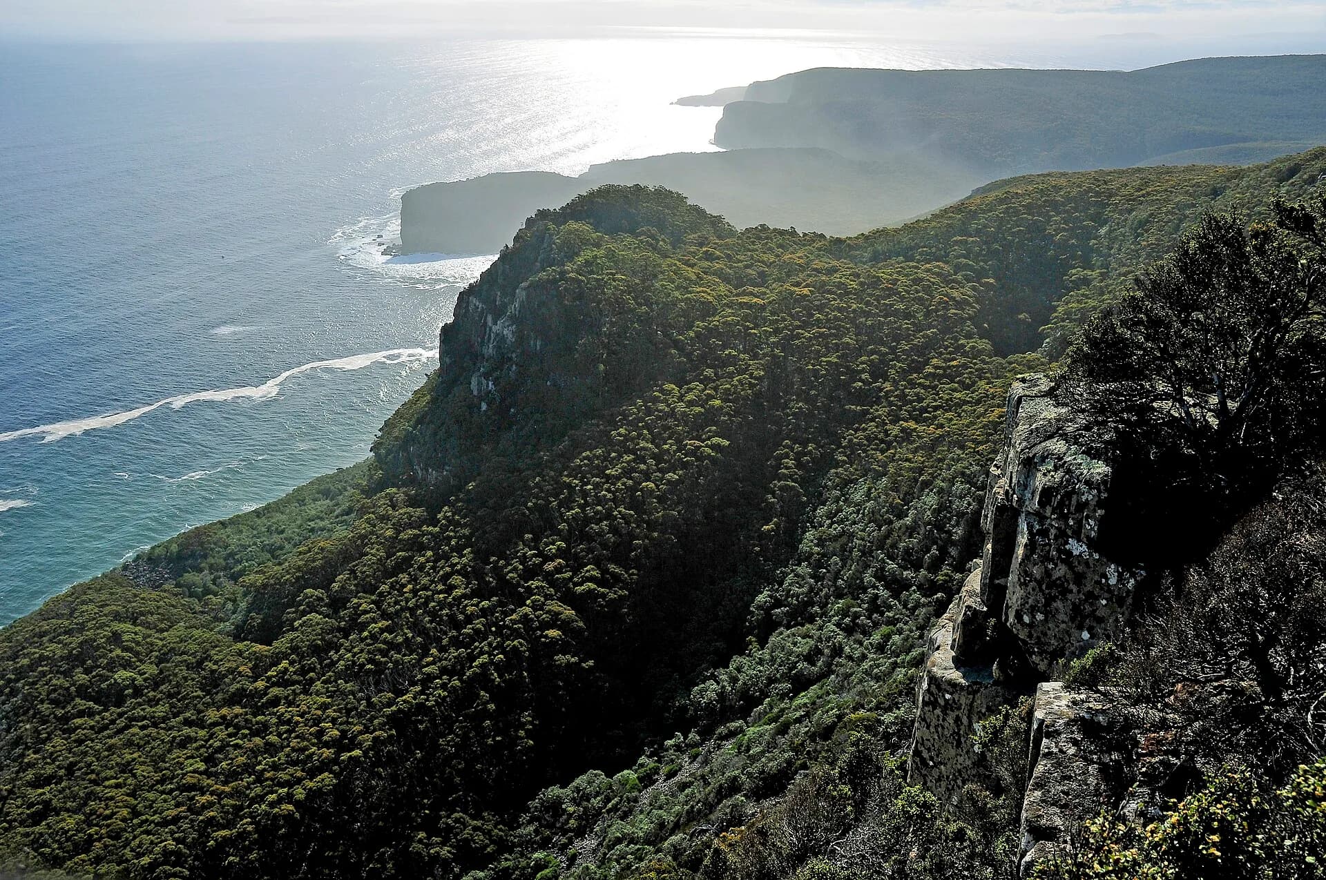

Tasmania receives swell from several directions, but its coasts differ sharply. A beach that works in a small east-coast swell can be dangerous when the Southern Ocean reaches the west and south. Forecast interpretation matters more than a list of famous breaks.
Match the coast to the forecast
Check swell height, period, direction, wind, tide and warnings before choosing a coast. Conditions can change during a long drive, particularly around exposed headlands. Beaches are commonly unpatrolled outside a limited summer program.
,_June_2023.png)
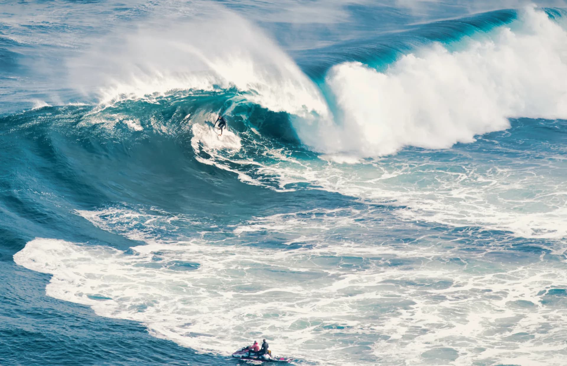
Shipstern Bluff is a specialist big-wave location below severe cliffs. It is not a progression step for an ordinary beach surfer, and viewing access also requires a demanding walk in changeable weather.
Prepare for cold and isolation
Water remains cold enough for a suitable wetsuit year-round. On remote coasts, carry first aid, warm clothing, food and a communication plan. Mobile service may fail, road surfaces vary and rescue can take time.
.jpg)
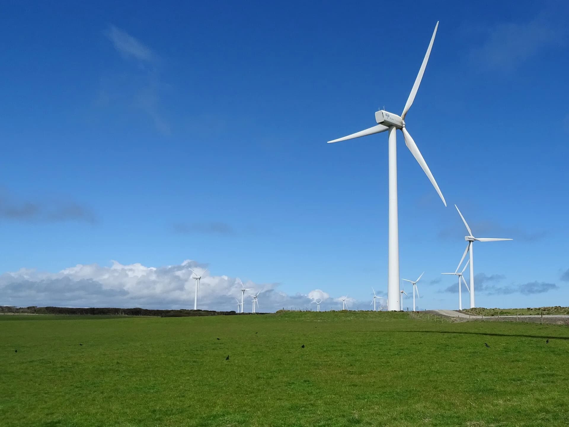
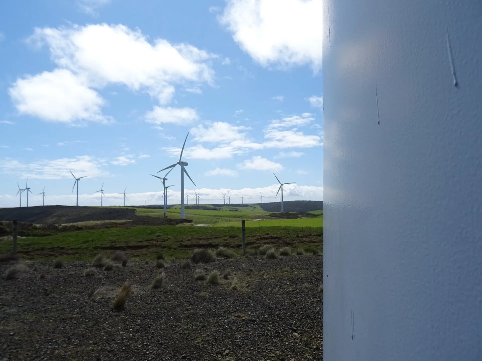
The north-west coast around Marrawah has powerful surf and rapidly changing wind. The Arthur-Pieman coast is also a protected Aboriginal cultural landscape. Use open public access, obey closures and keep vehicles off cultural sites and dunes.
Read the beach before entering
Identify rips, rocks, exit points and other users from shore. Surf with someone, avoid unfamiliar water alone and recognise that local knowledge does not remove ocean risk.
.jpg)
For a coast-based trip, compare the Tasman Peninsula, Marrawah and the Tarkine coast, then check an official marine forecast on the day.