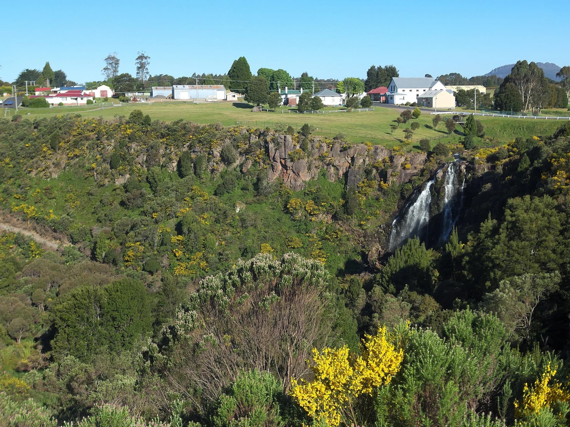

The drive from Burnie to Waratah follows the Murchison Highway from the coast into wet forest and mineral country. Hellyer Gorge provides the natural midpoint, while Waratah gives the route a strong historical destination.
Burnie to Hellyer Gorge
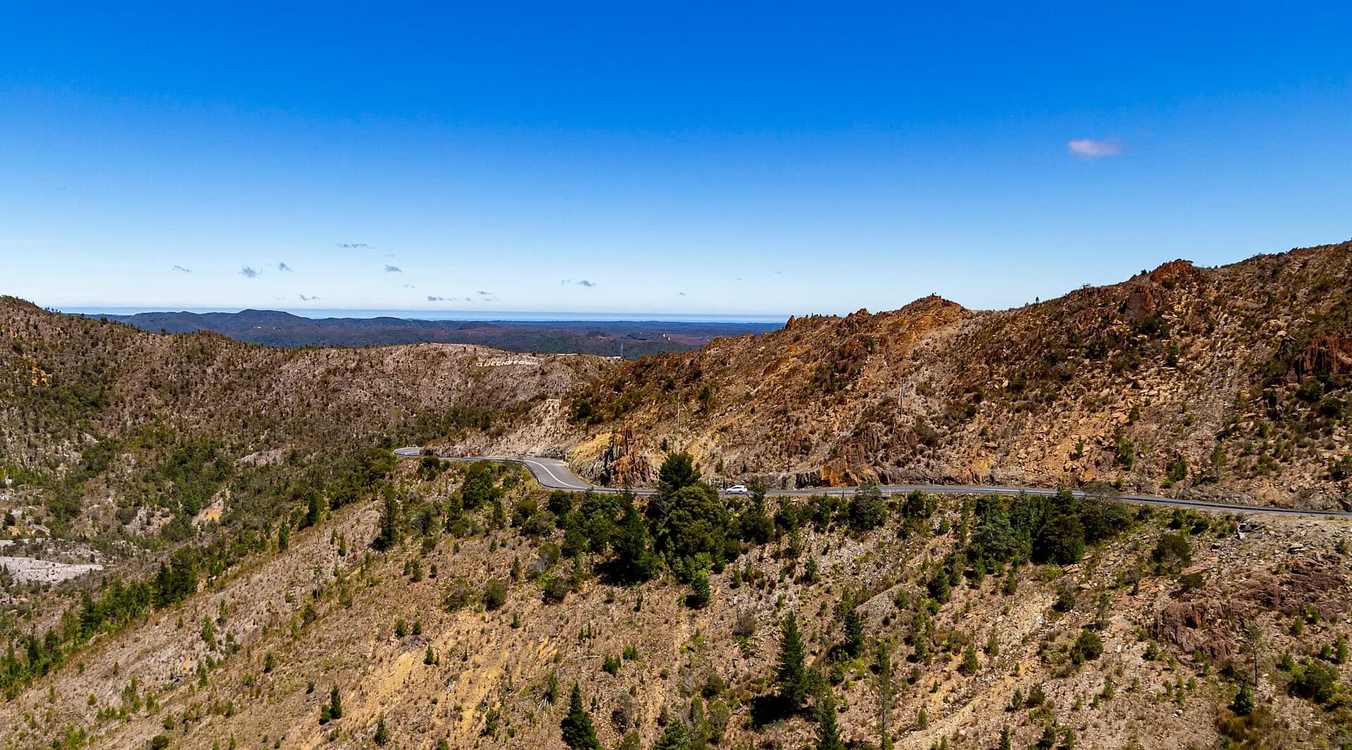
Leave Burnie with fuel and food. The highway climbs through Hampshire and increasingly forested country, with bends, logging and freight vehicles, wet surfaces and occasional fog. Travel time matters more than the modest map distance.
.jpg)
Hellyer Gorge State Reserve has a roadside picnic area and a short rainforest walk beside the Hellyer River. Use the signed parking area, check reserve alerts and keep out of fast water. Facilities and access can be affected by maintenance or storm damage.
Continue to Waratah
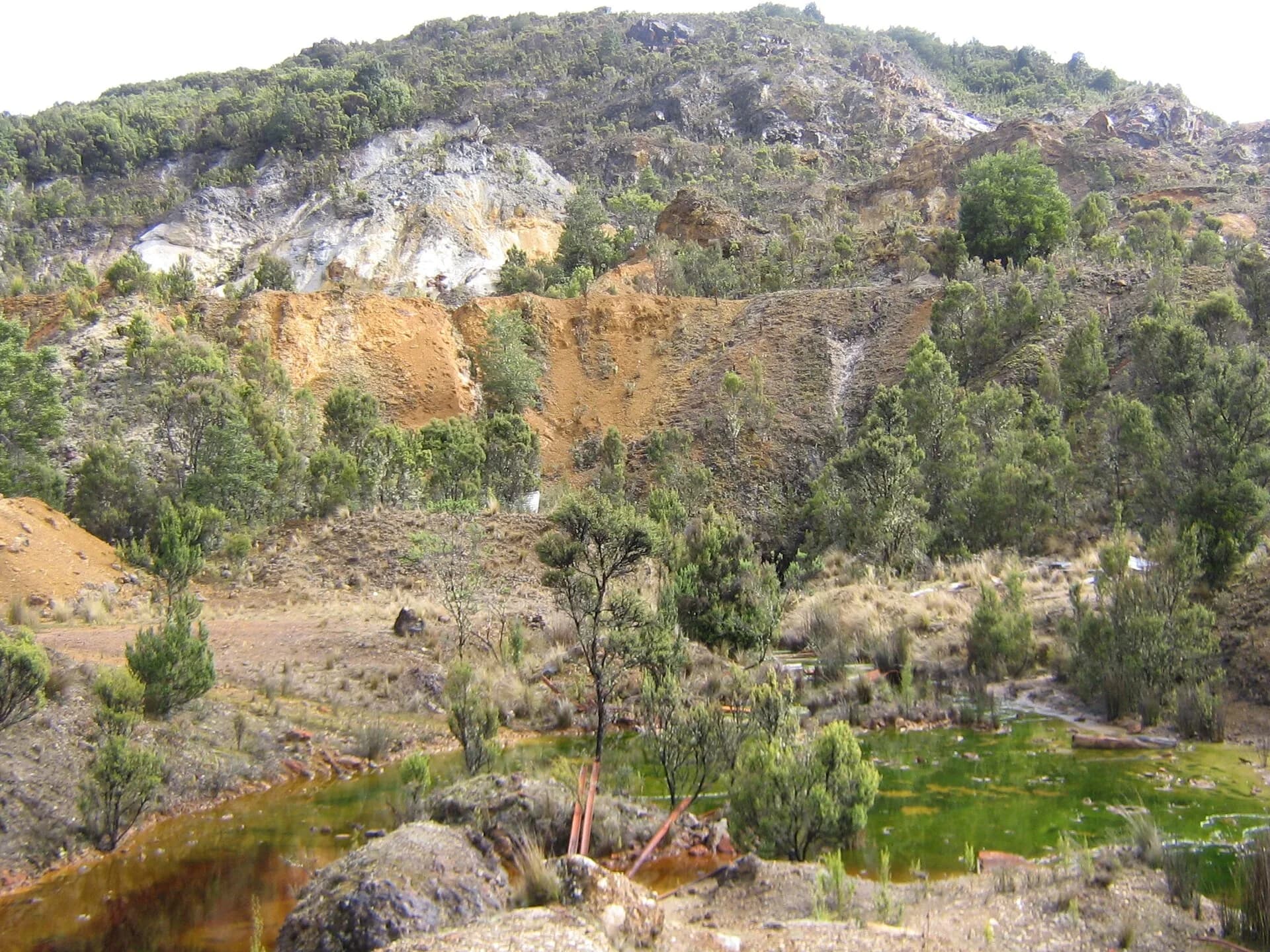
Waratah grew around the Mount Bischoff tin field. The town waterfall, museum and surviving mining landscape make it more than a fuel stop, though opening hours and services are limited.
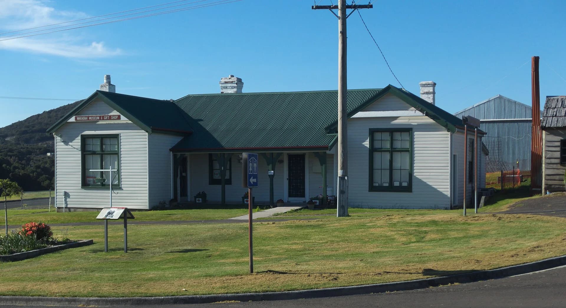

Allow time for the Waratah guide rather than adding Zeehan or Cradle Mountain to the same day. Henry Hellyer explains the survey history behind many regional names, while the north-west hinterland guide puts the route in its wider setting.

Return before dusk where possible. Check Department of State Growth closures, Tasmania Police alerts, weather and fire information on the day, and carry warm clothing even when Burnie is mild.