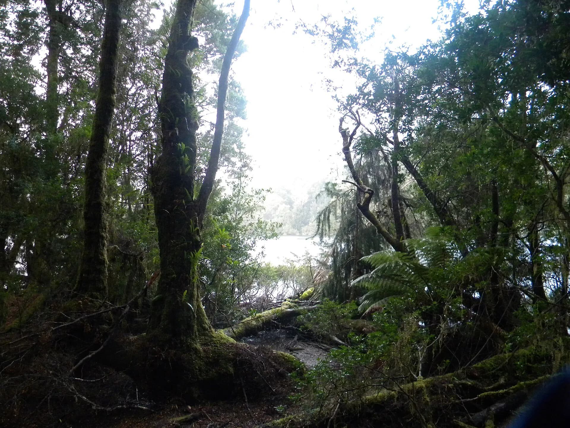

The north-west hinterland begins quickly behind the settled Bass Strait coast. Farming valleys give way to plantation and native forest, former mining districts, hydro infrastructure and large tracts of takayna / Tarkine. It is a region of separate journeys, not one convenient sightseeing loop.
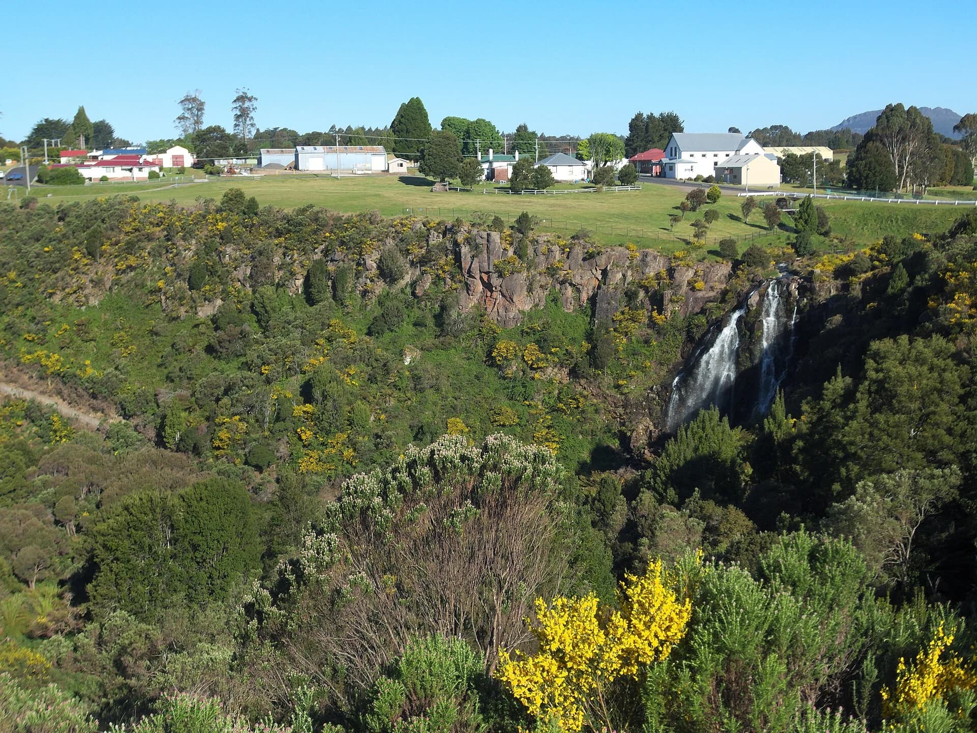
Waratah links waterfalls with mining history
Waratah developed around the Mount Bischoff tin field. Its waterfall is in the town, while museum collections and surviving infrastructure explain why an inland settlement grew in a wet, elevated place.

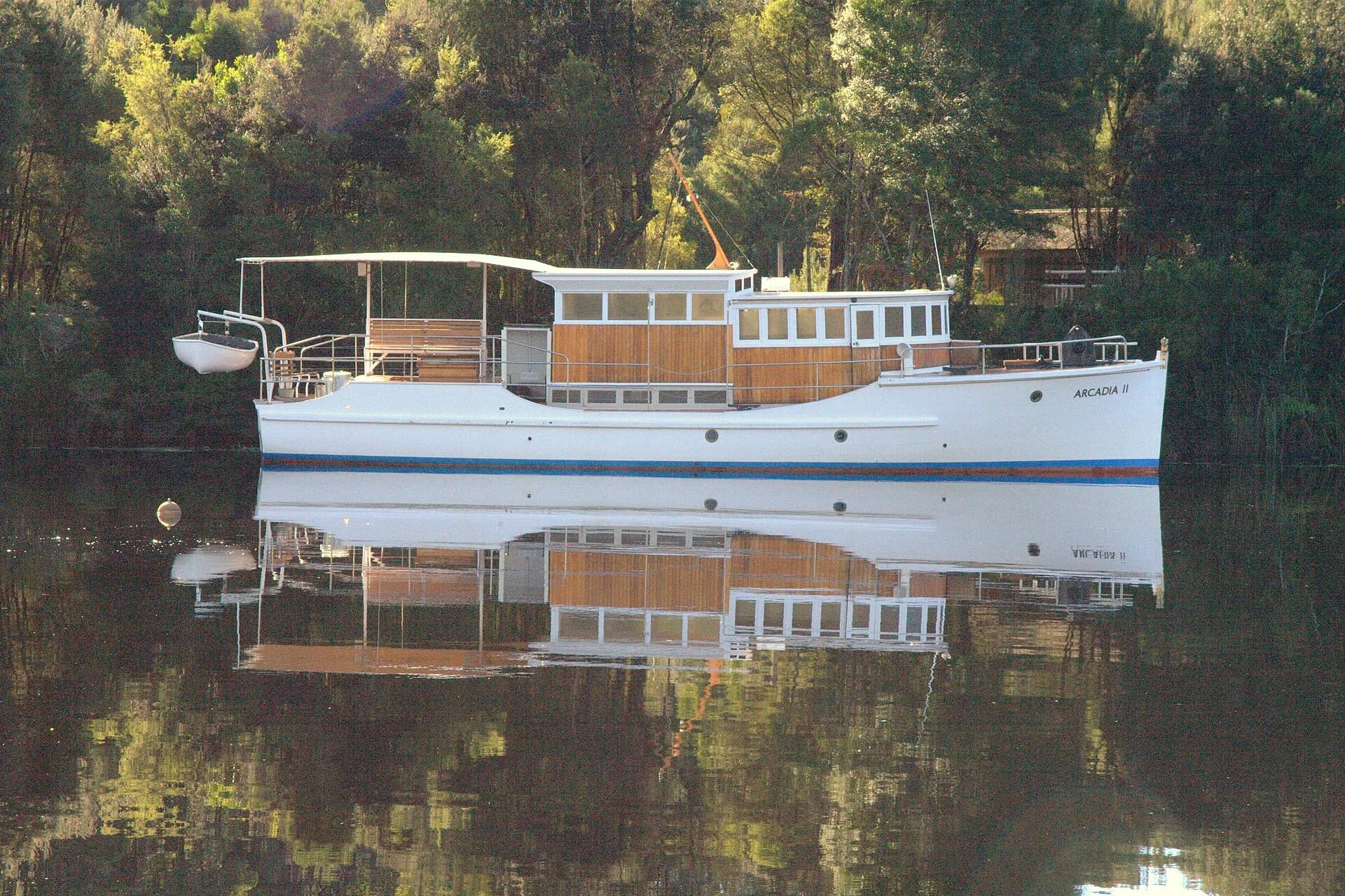
Corinna belongs to the Pieman River
Corinna sits beside the Pieman River and is reached by long roads from either direction. The Fatman Barge carries vehicles across the river, but operating limits and timetables must be checked. There is no casual fuel detour if plans fail.

takayna requires careful route choices
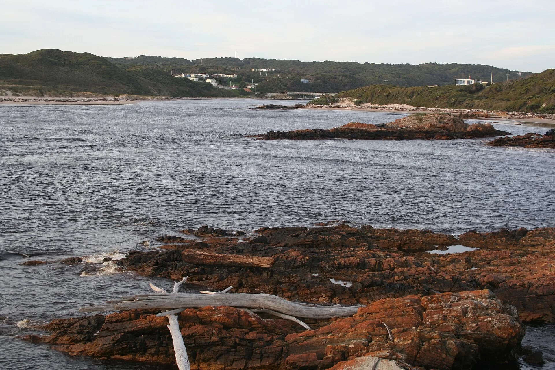
The wider takayna landscape includes rainforest, heath, rivers, coast and Aboriginal cultural heritage. Road surfaces range from highways to unsealed forest roads. Respect closures, clean footwear and vehicles, and do not treat forestry or mineral roads as public shortcuts.

Mawbanna and Trowutta are small communities rather than service hubs. Savage River is a working mining town with operational traffic. Build fuel, food, daylight and weather margins into every inland day, then use the north-west regional guide to connect back to the coast.