
Mawbanna is a small rural locality inland from the Bass Highway between Wynyard and Stanley. Most visitors continue through farming and forest country to Dip Falls and the nearby Big Tree, but the road and reserve deserve more planning than a quick map pin suggests.
Dip Falls crosses basalt columns
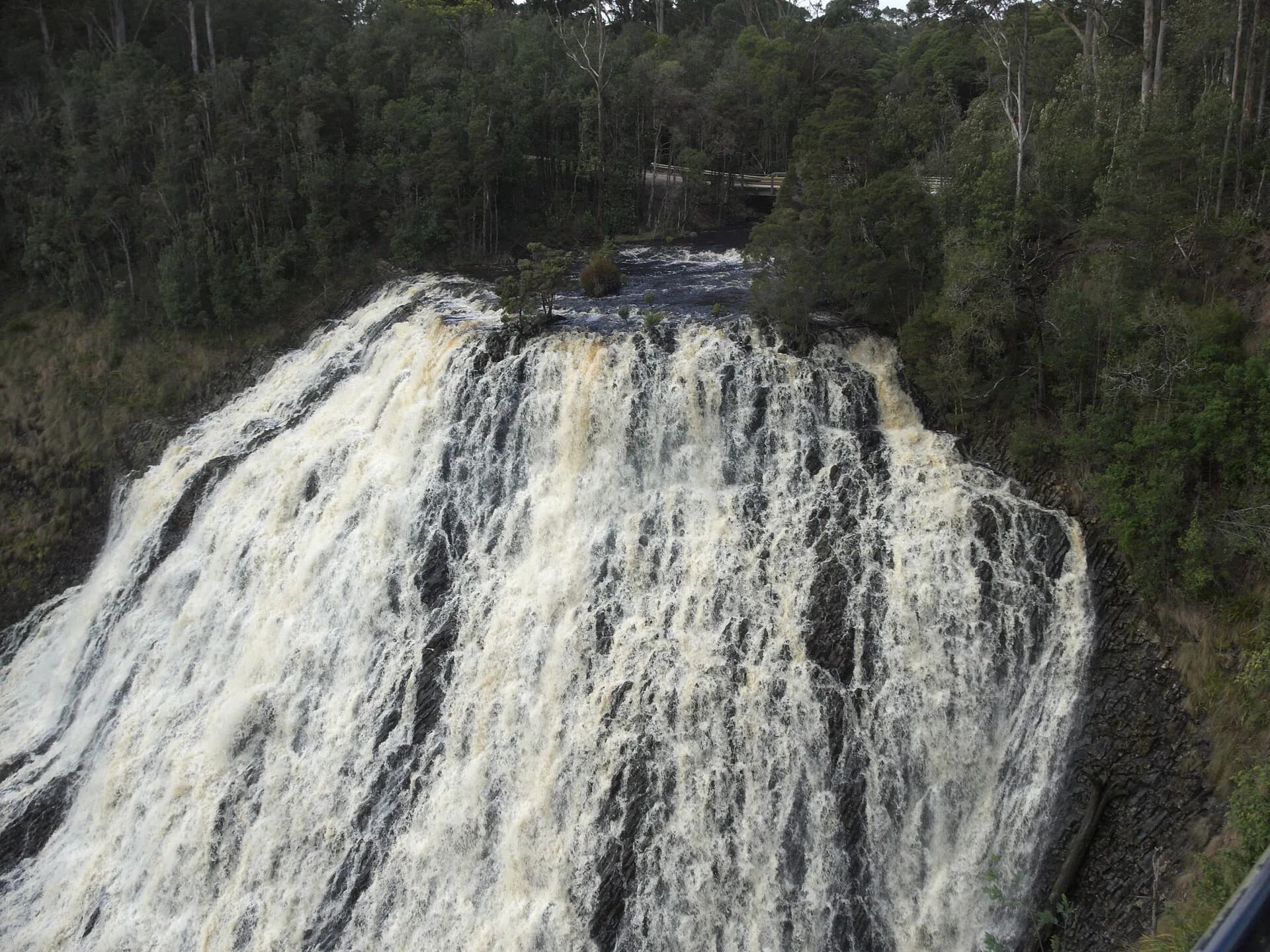
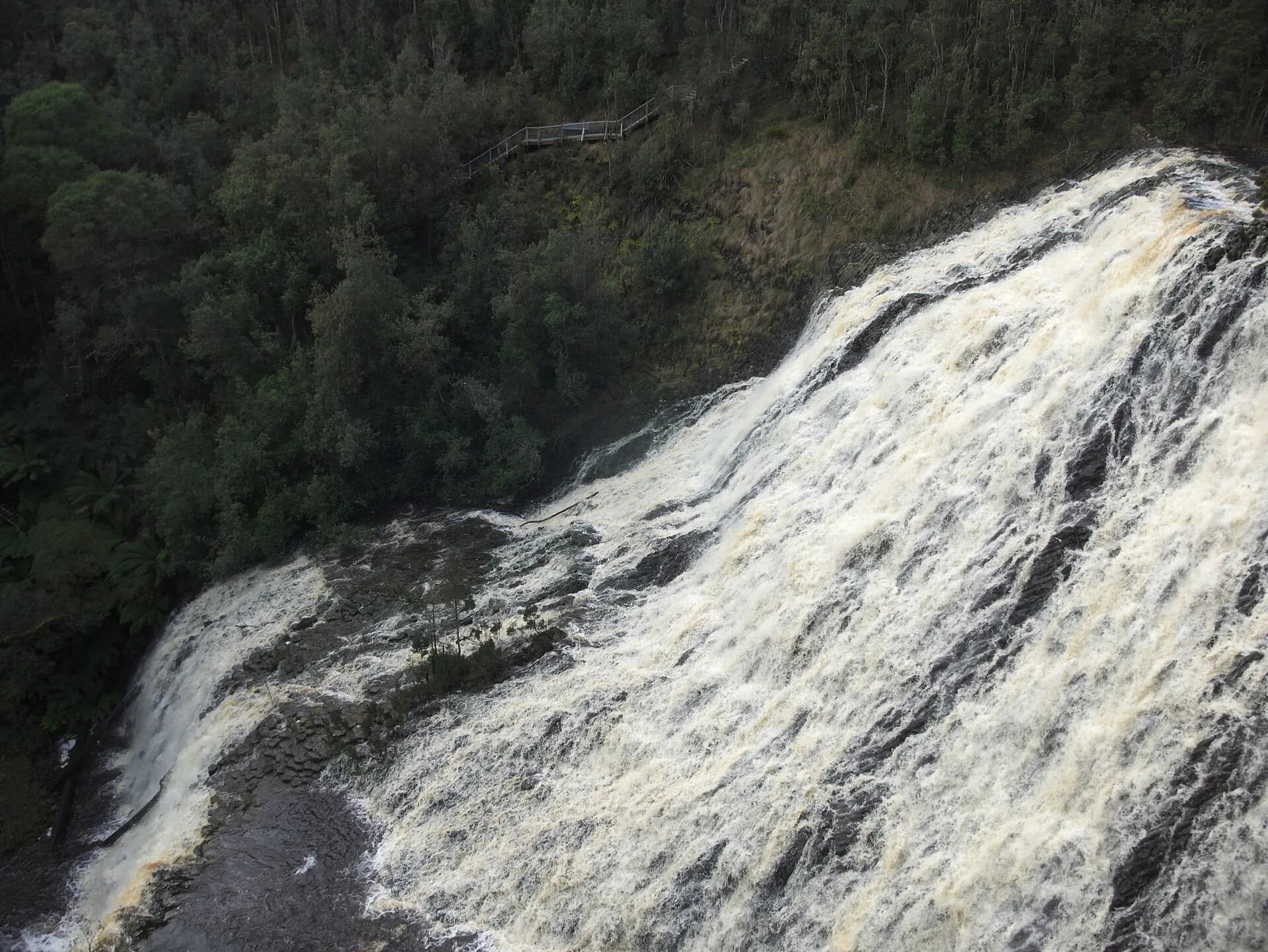
The Dip River drops over jointed basalt in two main tiers. An upper viewing route avoids the long staircase, while the lower platform requires a steep descent and return. Rain changes both the waterfall’s force and the grip on steps.

Look closely at the rock
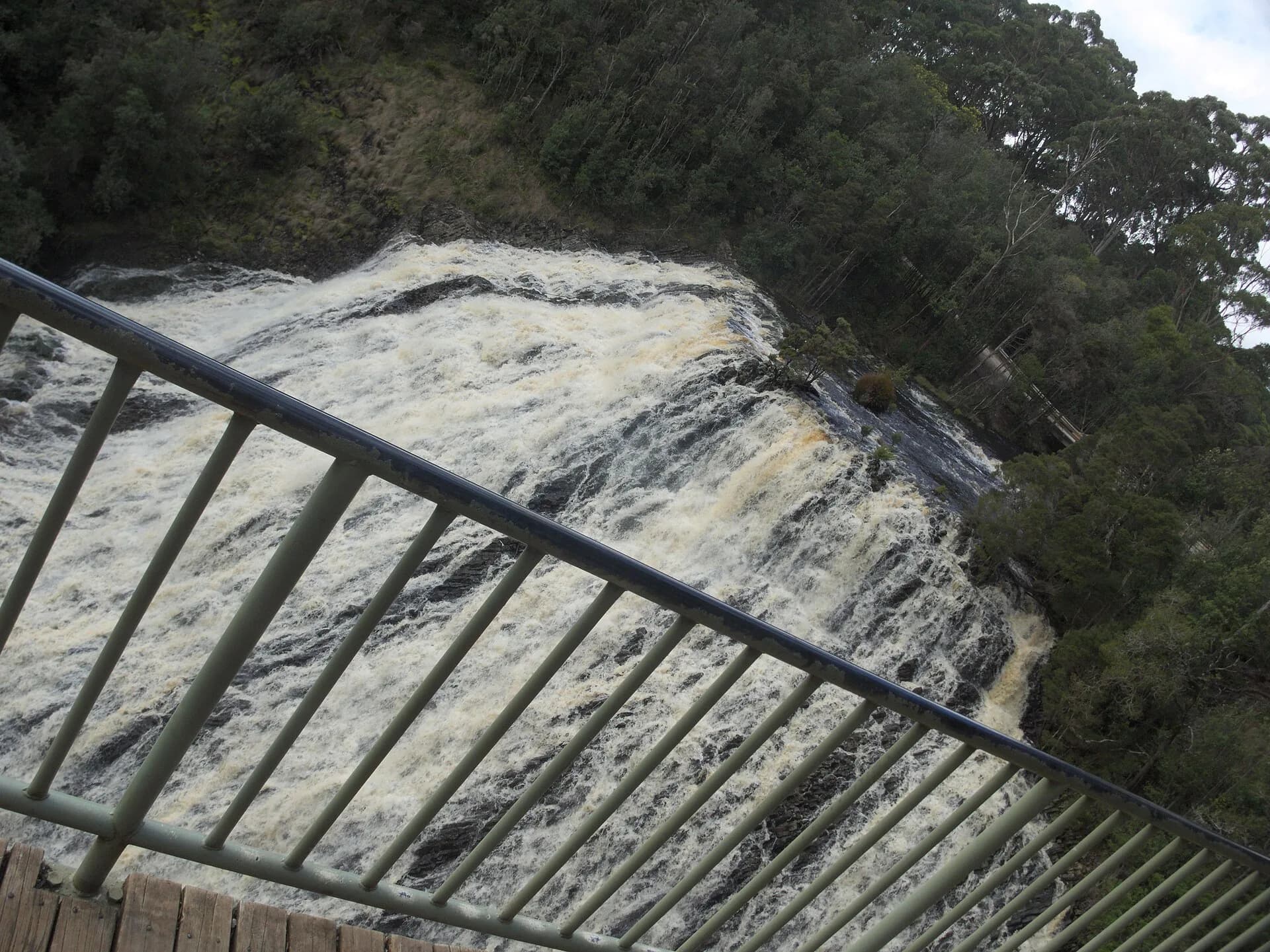
Cooling lava contracted into columns that guide the falls into angular steps. Stay behind barriers and use the platforms. Wet basalt, high flow and debris make informal approaches unsafe.

Visit the Big Tree without leaving the boardwalk
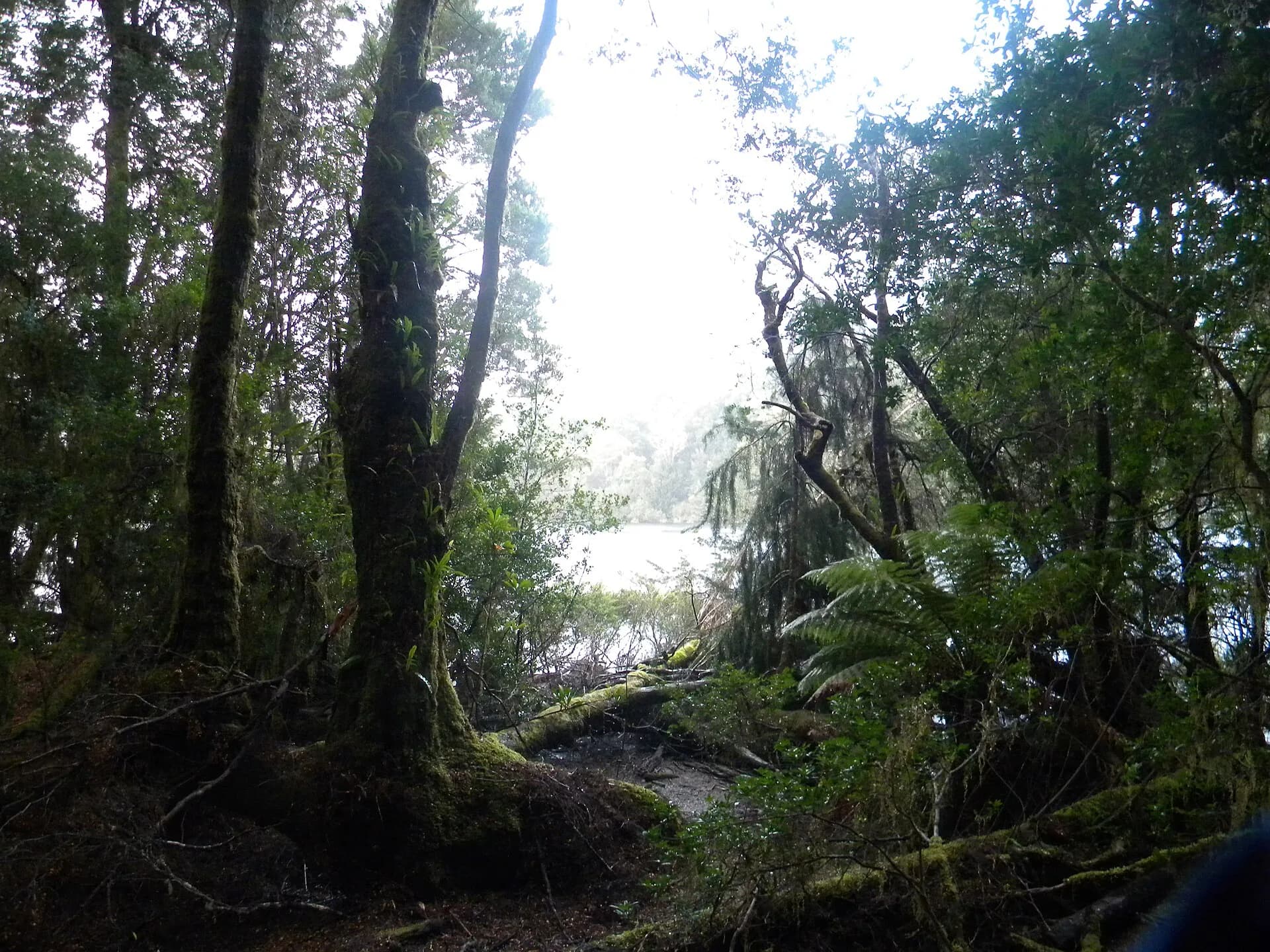
A separate short walk reaches a very large brown-top stringybark. Tall trees remain living habitat, not climbing structures or picnic furniture. The boardwalk protects roots and surrounding soil.

Carry water and offline directions, and allow for unsealed road sections, timber traffic and weak reception. Smithton and Wynyard are the nearest larger service centres; the Tarkine guide gives broader forest context.