

Smithton sits beside the Duck River near the western end of the Bass Highway. It is the main service centre for Circular Head, so travellers heading to Marrawah, Arthur River, Cape Grim or forest reserves should organise fuel, food and current road information here.
Start with the town and river
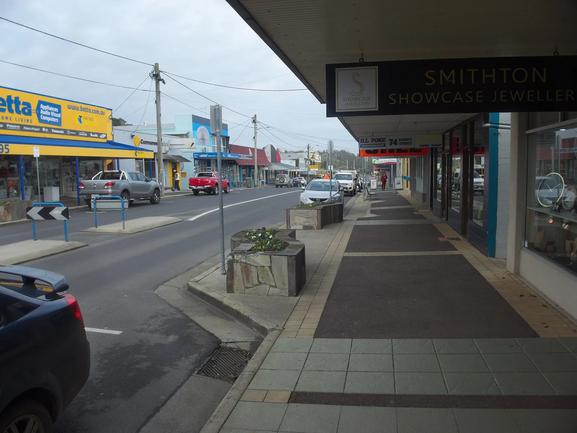
The central streets contain supermarkets, fuel, accommodation and everyday services. Riverfront areas explain Smithton’s connection with timber, farming, fishing and boat building. The town is working regional infrastructure as well as a visitor base.

Read the industrial history carefully
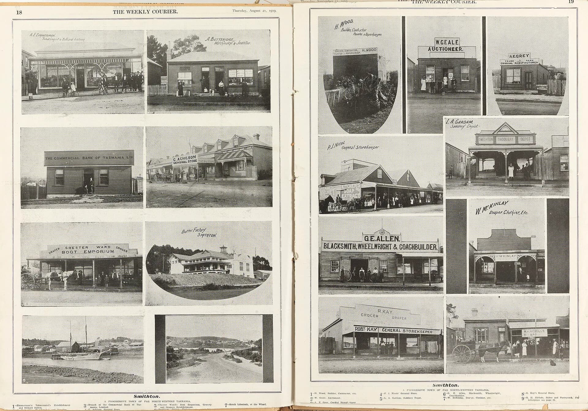
The settlement developed around timber shipping and agricultural production. Historic photographs show a small river port rather than the present service town. Local collections can add names and detail that broad north-west histories cannot provide.
_(13415279505).jpg)
Prepare before driving farther west
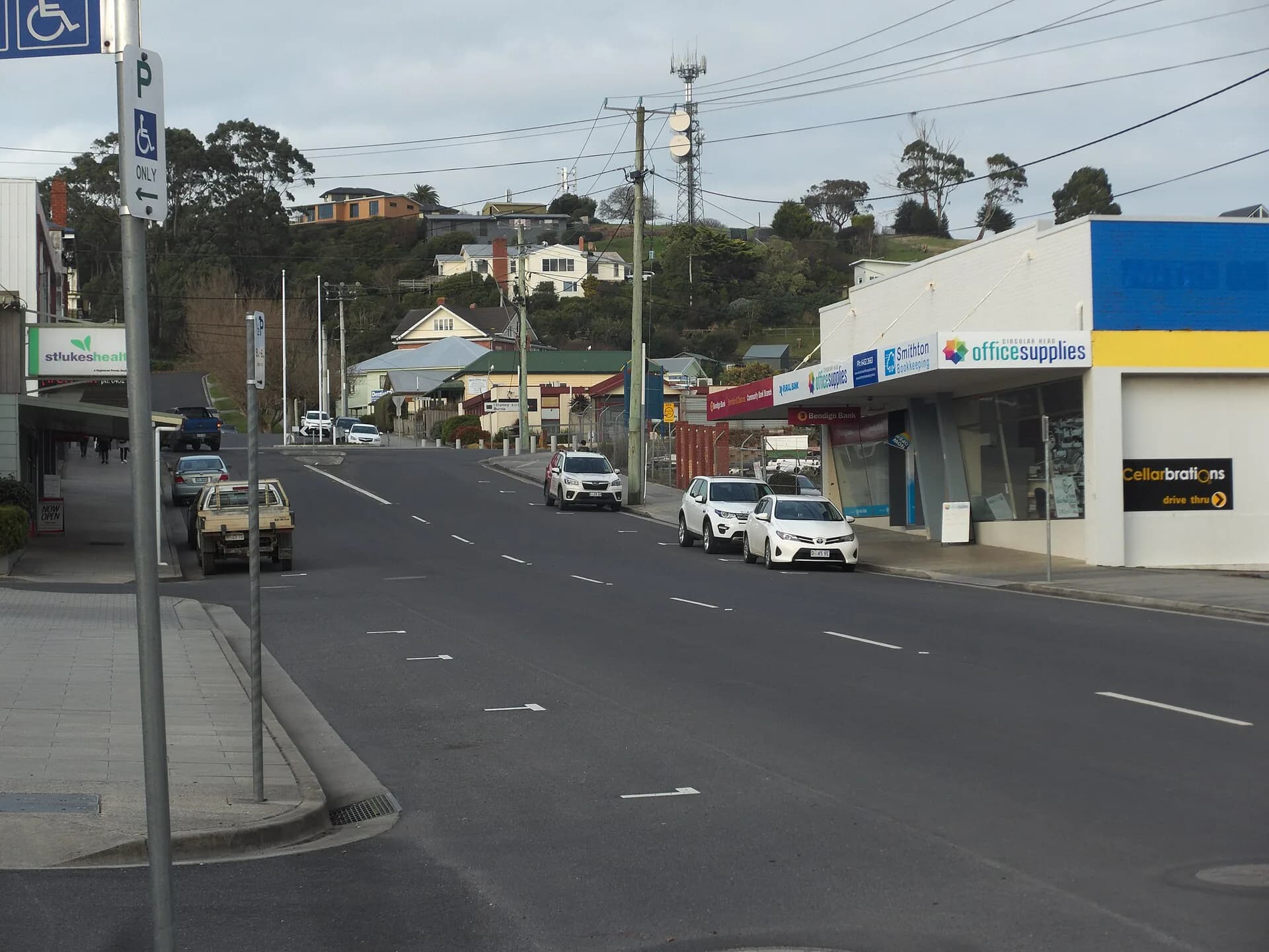
Distances are longer, mobile reception is uneven and services become sparse beyond Smithton. Download maps, check weather and road notices, carry drinking water and avoid wildlife-heavy driving around dusk and after dark.

For a settled heritage stop, continue to Stanley. Treat Marrawah and takayna / Tarkine as separate trips with their own access and safety checks.