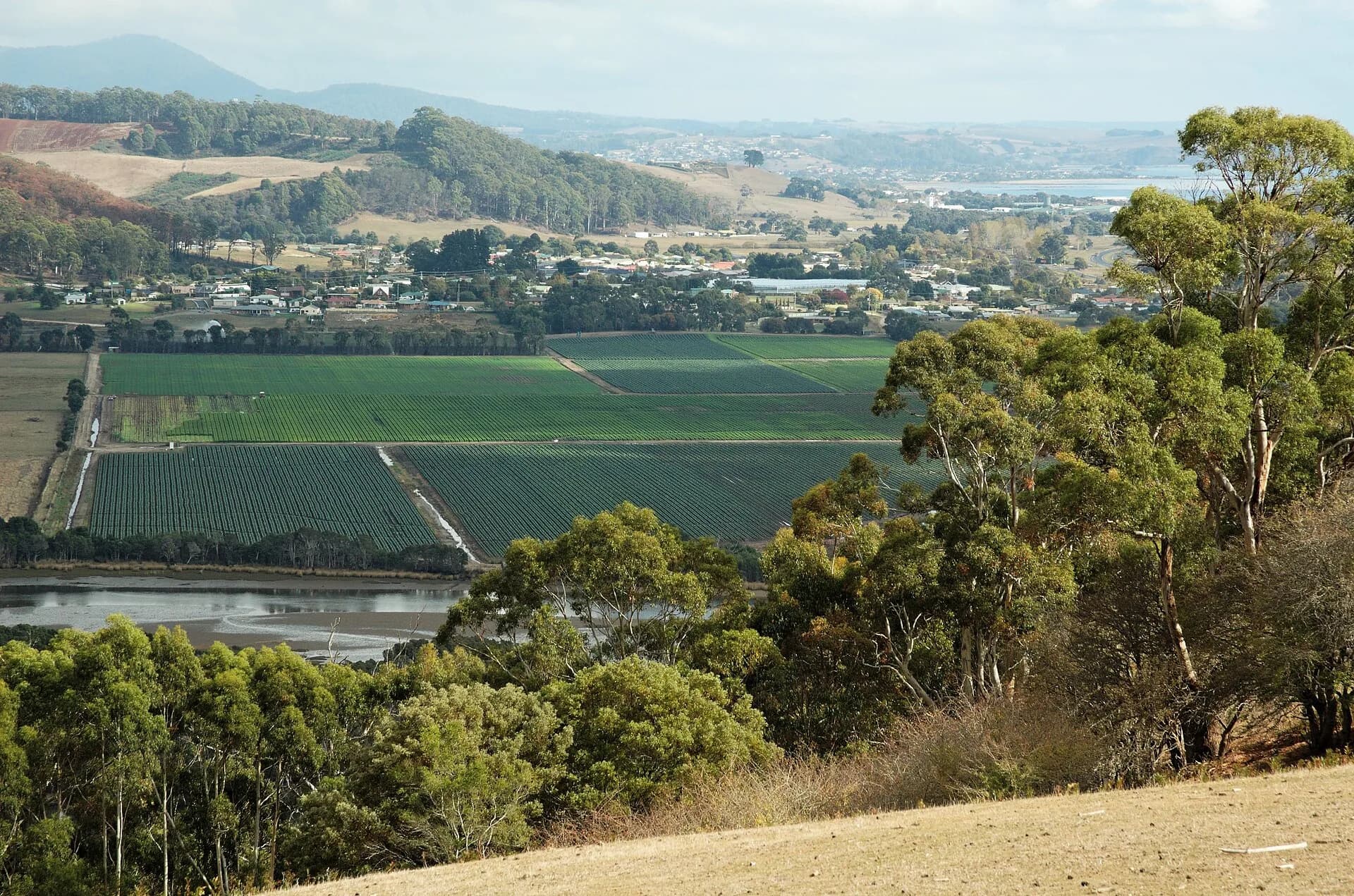

Sprent is a small rural locality south of Ulverstone in Tasmania’s Central Coast municipality. It is a lived farming district rather than a visitor centre, and the historical URL’s “Somerset” path should not be allowed to change the place’s correct name.
The road passes through working country
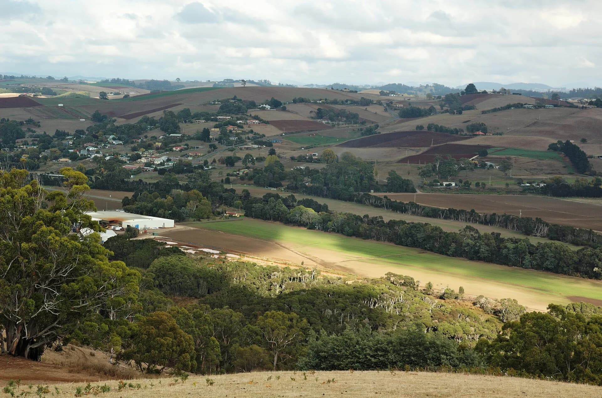
Pasture, shelterbelts, creeks and forest edges shape the district. Slow machinery, livestock movement and narrow verges are normal. Use public roads and signed reserves, and never enter a paddock for a photograph.

Services are in larger towns
Do not assume fuel, food, public toilets or mobile coverage are available in the locality. Ulverstone is the practical service base, with Penguin and Sheffield supporting other approaches.
.jpg)
Hinterland weather changes travel
Rain, frost, fallen branches and local flooding can affect minor roads. A scenic backroad should be treated as a route between communities, not an invitation to stop at blind corners or private gates.
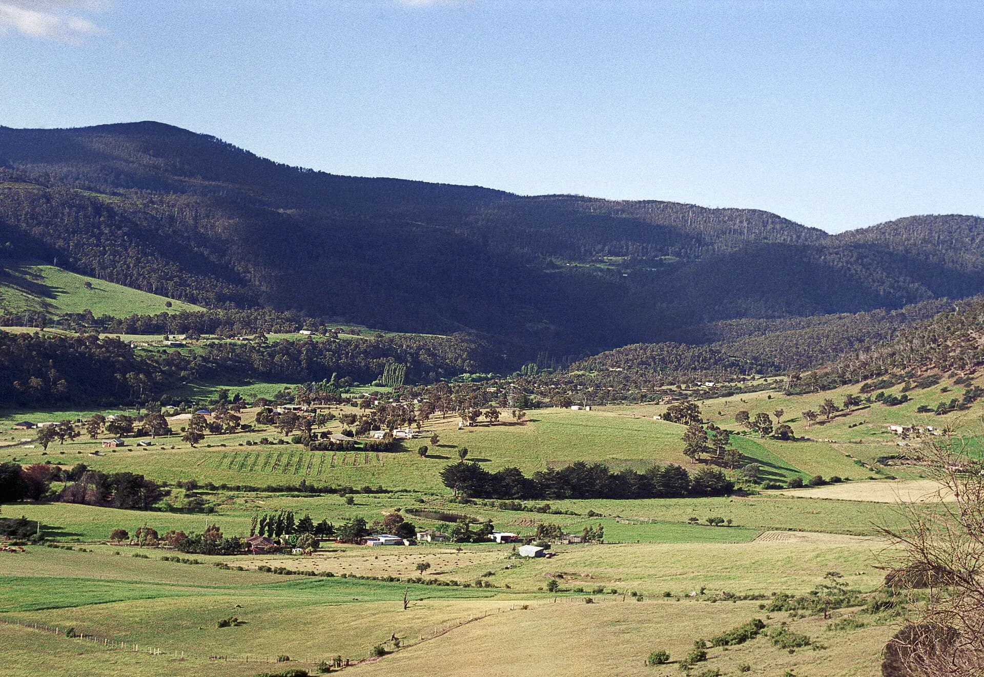

The Central Coast hinterland guide gives wider context, while Forth and Turners Beach show how the inland district connects with the coast.