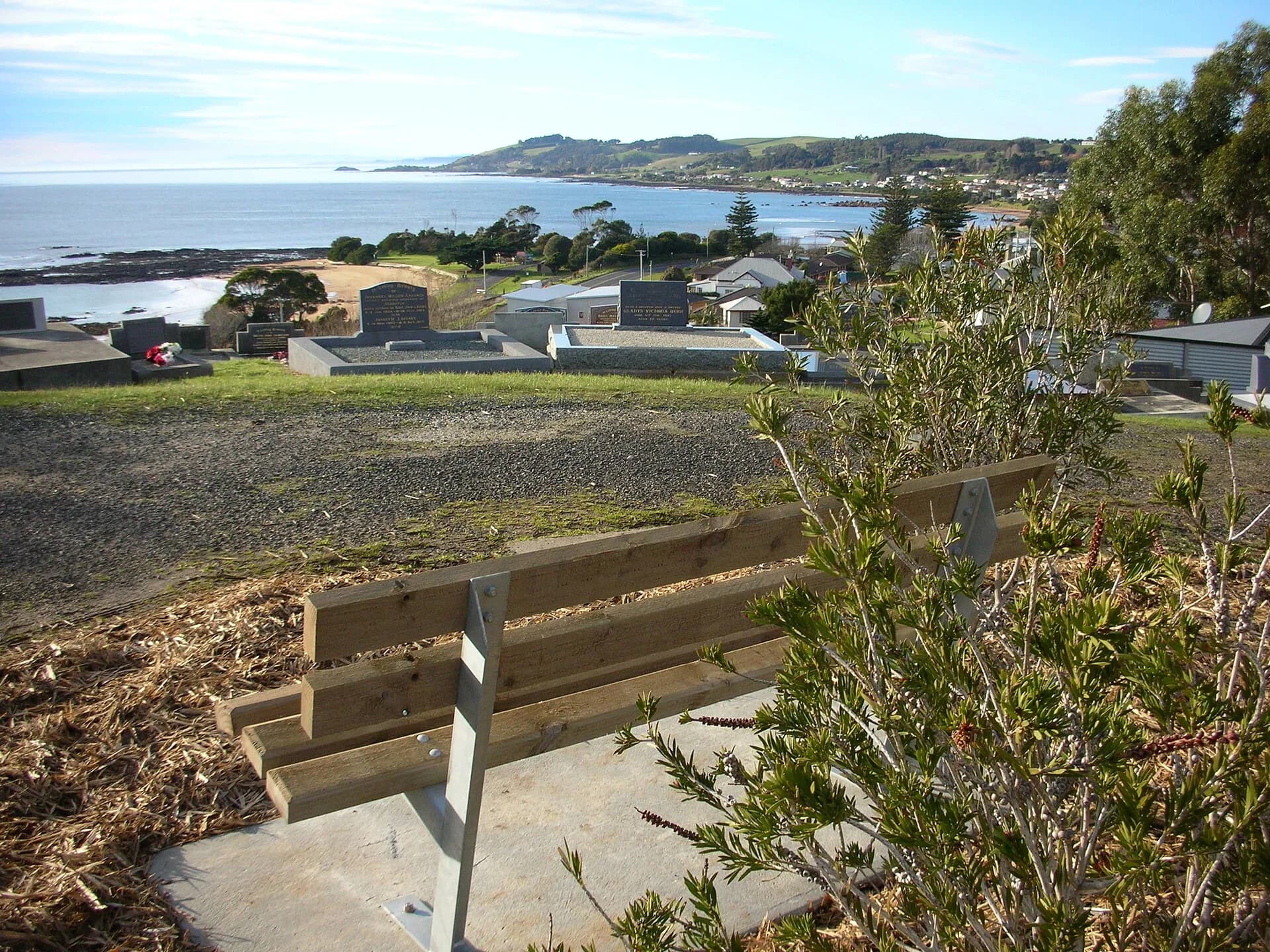

North West Tasmania reaches from the Mersey and Leven districts through Burnie, Wynyard and Circular Head, then inland towards Cradle Mountain and the west. It is too large for one day. A useful plan groups experiences by coast, hinterland or mountain route.
This page restores the historical search topic with current, independently written guidance. It does not reproduce the former site’s copy or assume that a business once listed is still operating.
Choose an area, then choose activities
- Cradle Mountain: Check Parks and Wildlife Service access, shuttle arrangements, weather and walk conditions before departure.
- Stanley and Circular Head: Combine the historic village, The Nut and coastal scenery with realistic travel time from other bases.
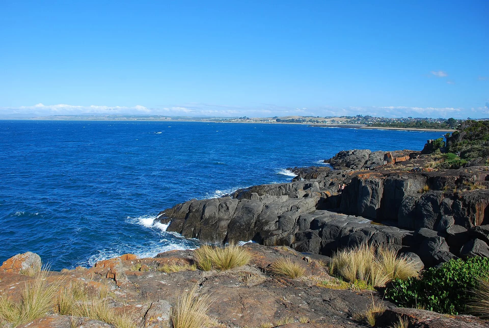
- Coastal towns: Devonport, Penguin, Ulverstone, Burnie and Wynyard provide galleries, beaches, waterfronts and services.
- Waterfalls and forest: Inland reserves and short walks can be wet, slippery and outside mobile coverage.
- Food and farm country: Markets, dairy, berries, seafood and farm businesses reward advance checks for public access.

Where to begin
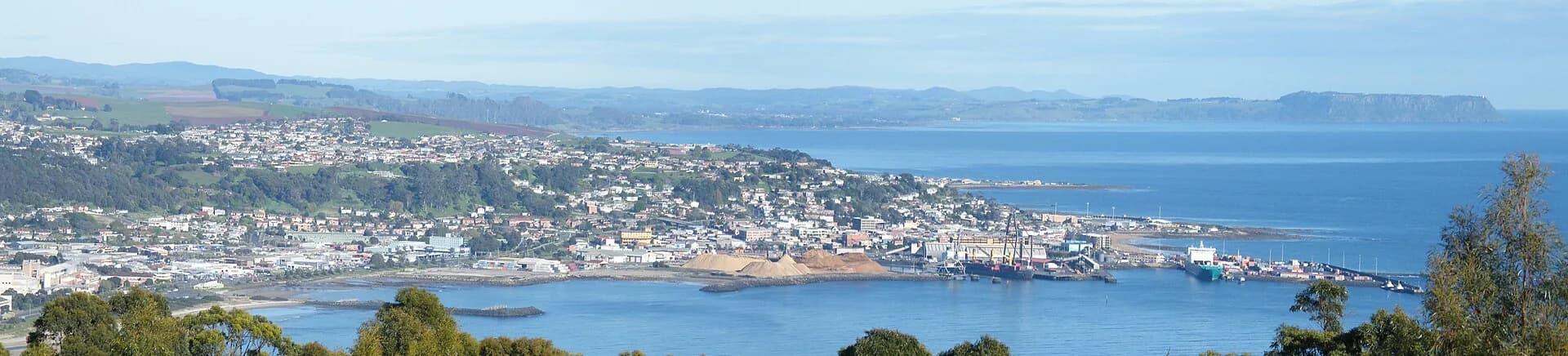
Stay around Devonport or the Central Coast for eastern north-west attractions, Burnie or Wynyard for the central coast, and Stanley or Smithton for Circular Head. Cradle Mountain and the west coast need their own road plans rather than being treated as small detours.
Check before you commit
Official park alerts, road conditions and operator pages should override old snippets or saved maps. Wildlife experiences need distance and low-impact behaviour. Never enter farms, commercial wharves, penguin habitat or private forest roads without permission.

Fit it into the trip
Allow two or more days for a regional overview and longer if Cradle Mountain or the west coast is included. Keep evening driving short because wildlife is active and weather can change quickly.
Continue with North West Tasmania, Stanley, Devonport, North West Tasmania Food and Farm Gates.