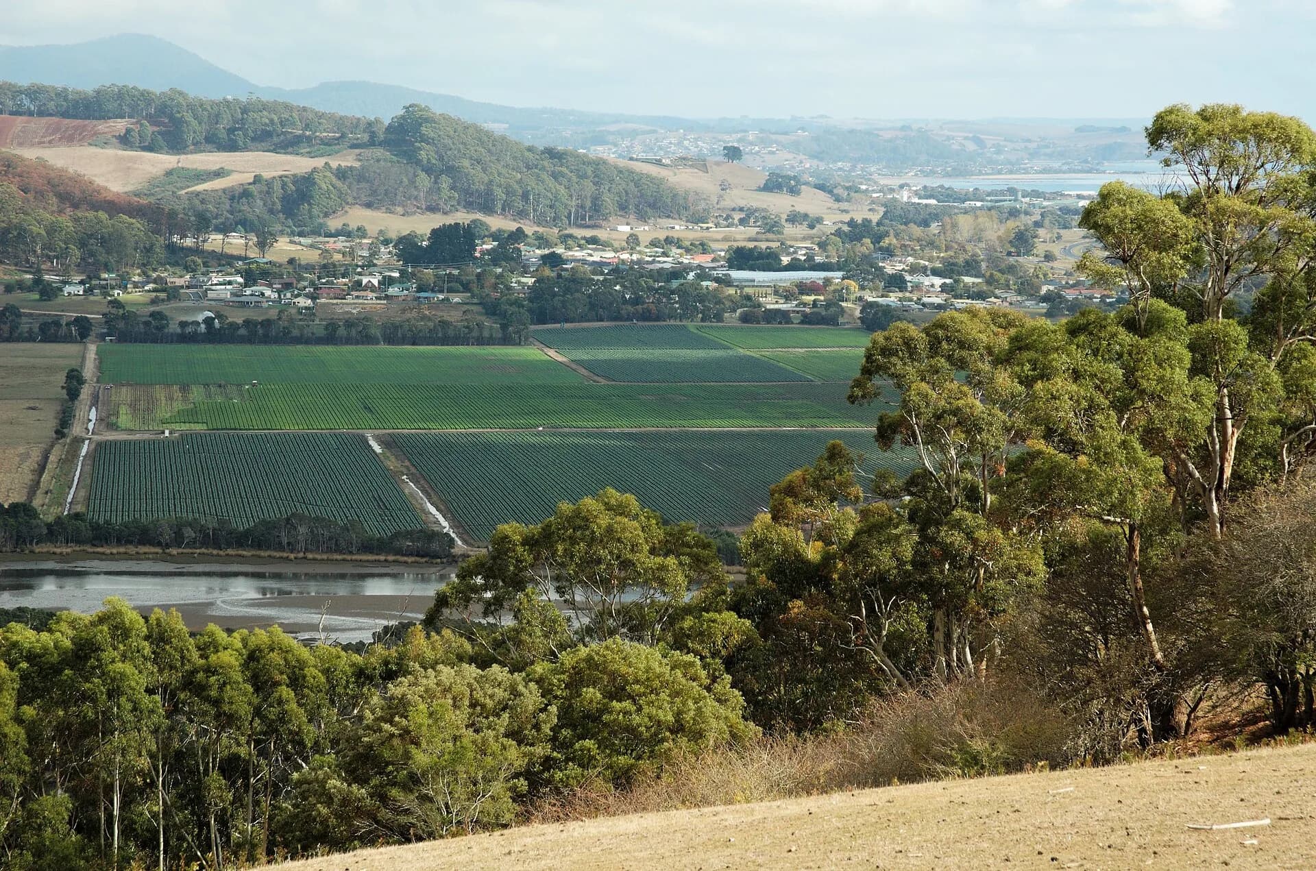

North Motton is a rural district south of Ulverstone, spread across farms and roads draining towards the Leven. It is a community, not a collection of public attractions.
Agriculture defines the present landscape
Productive soils and reliable rainfall support grazing and crops. Slow for farm machinery, use formed pull-offs and never enter paddocks or farm lanes without permission.
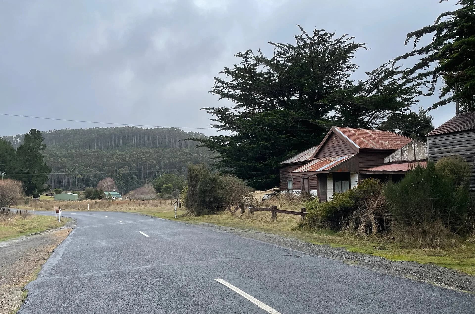

Community buildings hold local history
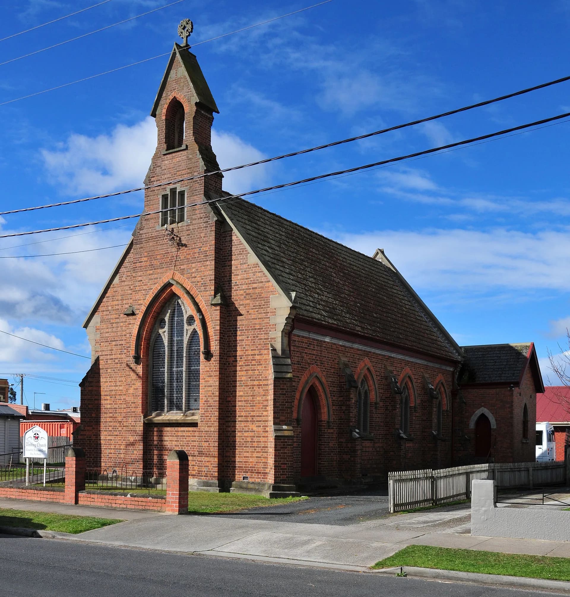
Church, cemetery, hall and school records trace settlement and family networks. Many sites remain in use or lie on private land. Libraries Tasmania and council records are the right starting point for family or property research.

Use signed routes towards the hinterland
Minor roads connect North Motton with Preston, Riana and Gunns Plains. Surface, width and weather exposure vary, and map shortcuts may be private or unsuitable.
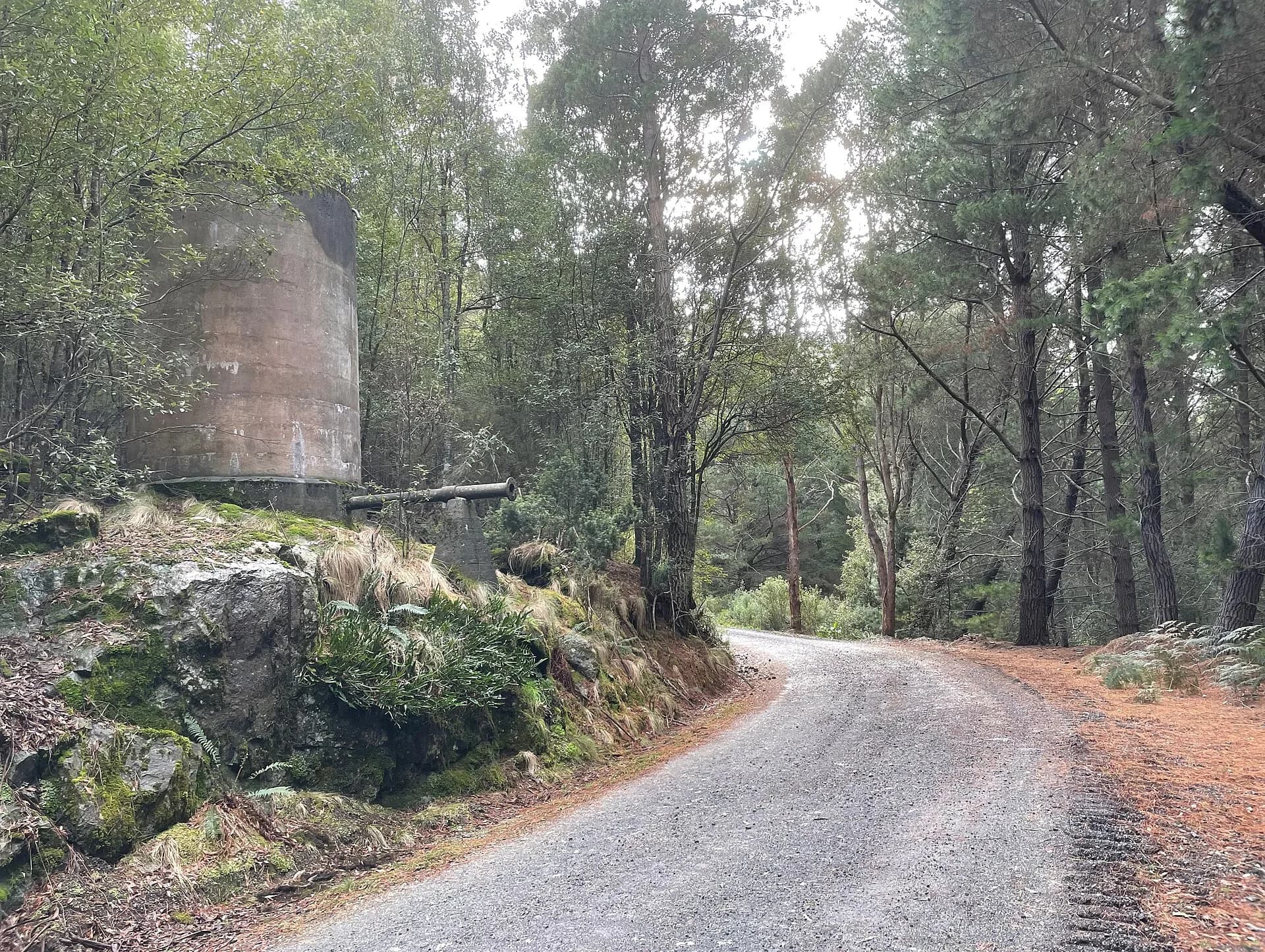

Combine the district with Gunns Plains, Ulverstone and Nietta.