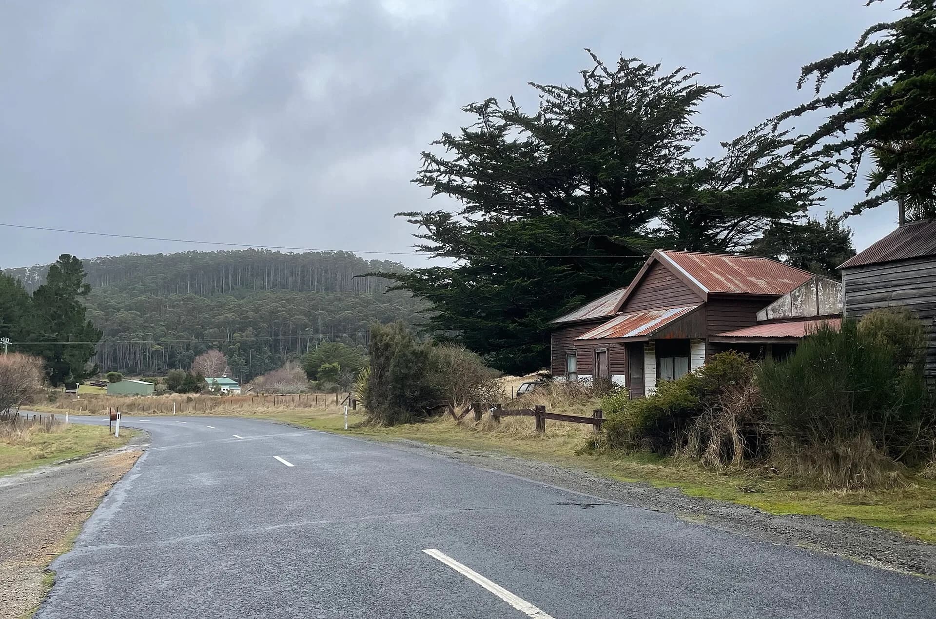

Nietta is a dispersed district in the upper Leven Valley south of Ulverstone. Farms occupy cleared slopes while forest, rivers and minor roads lead towards Leven Canyon and the higher country.
There is no concentrated town centre
Services are limited and private property lines are not always obvious from the road. Use public reserves and signed roads, and plan fuel and supplies in Ulverstone or another larger town.
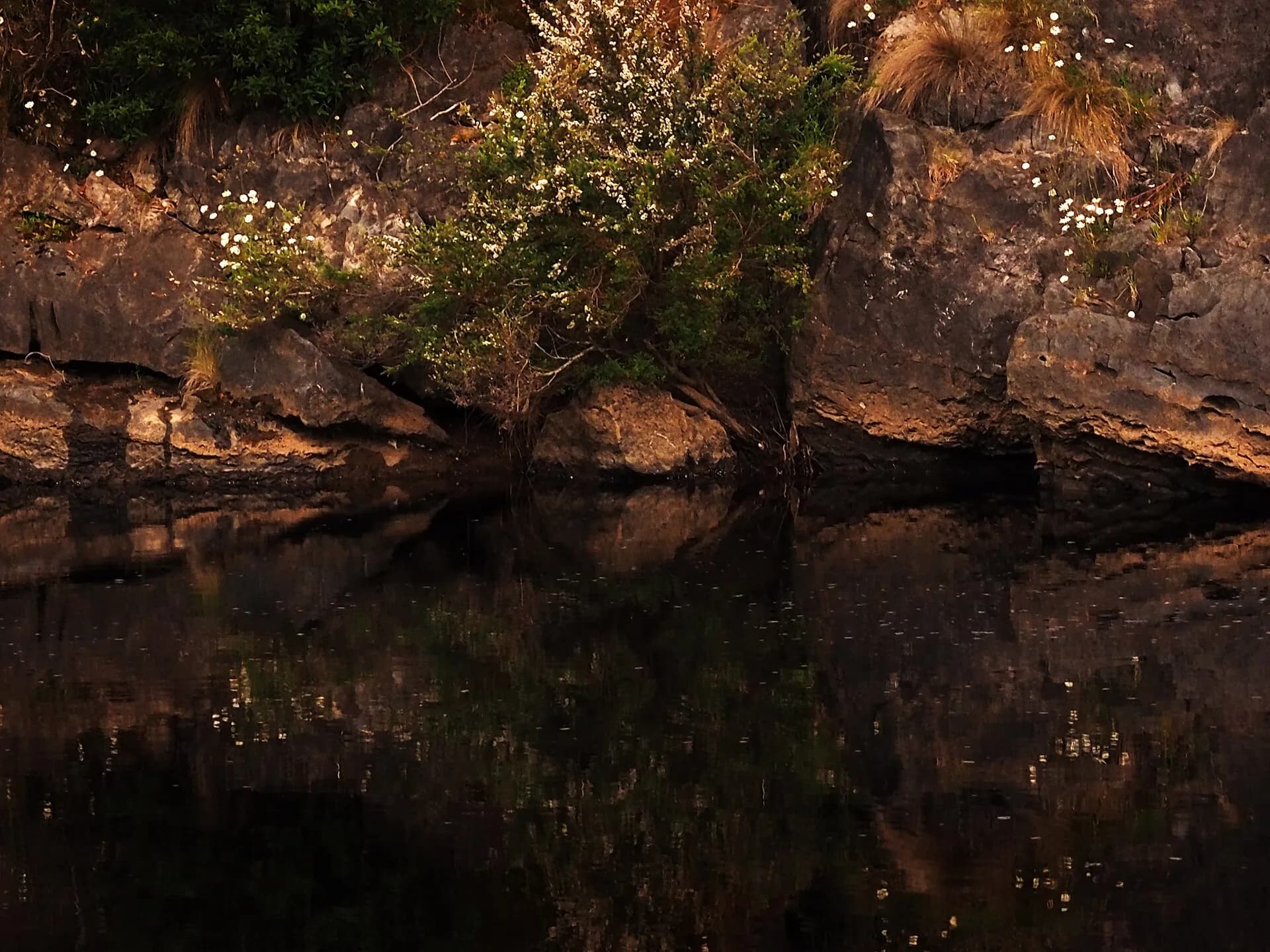

The river links the district to the canyon
The Leven River and its tributaries cut through steep country. Bridges and banks can change after heavy rain, and informal river access may cross farms.
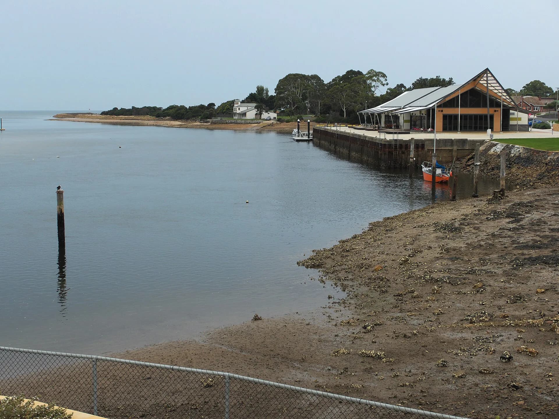

An old railway grade survives in the landscape
The former Ulverstone–Nietta railway served farms and timber districts before closing. Embankments and cuttings may be visible, but the old formation is not automatically a continuous public trail.
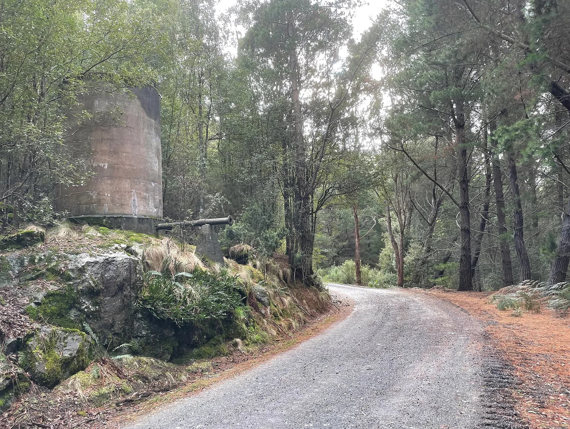

Plan a public walk at Leven Canyon, then use the Central Coast hinterland for wider routes.