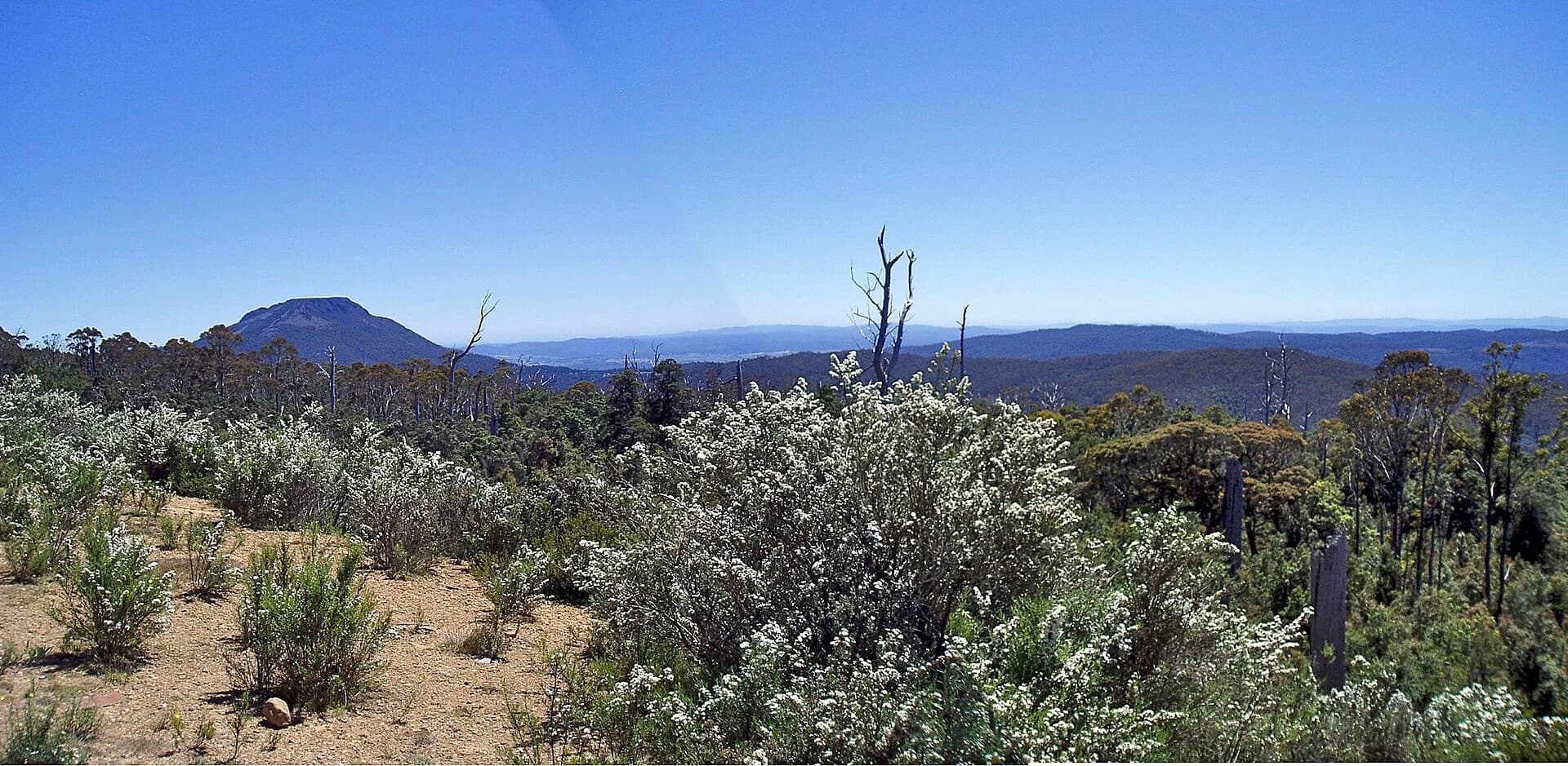

The Great Western Tiers form a long, abrupt edge between Tasmania’s northern country and the Central Plateau. Dolerite columns, forested slopes, waterfalls and high moorland create a recognisable skyline, but the Tiers are not one continuous visitor attraction or a single marked drive.
A chain of protected landscapes
Parks Tasmania describes the Great Western Tiers Conservation Area as seven separate parts covering 22,890 hectares between Western Bluff and Millers Bluff. Much of the escarpment forms the northern boundary of the Tasmanian Wilderness World Heritage Area.
That fragmented geography explains why useful access points are spread widely. Liffey Falls, Mole Creek, Quamby Bluff, Pine Lake and Devil’s Gullet each present a different part of the landform and have their own roads, tracks, facilities and safety requirements.
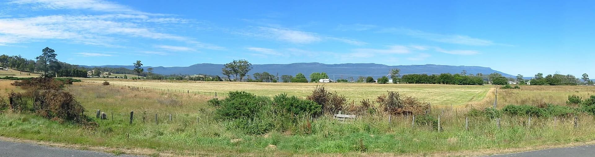

Choose a stop for the conditions
Liffey Falls offers forest and a series of cascades, while the Mole Creek district brings limestone caves and lower-elevation walks. Higher routes and lookouts can be cold, icy or clouded even when the plains are mild. A distant summit view does not indicate that a track is short or straightforward.
Parks passes, road conditions and track alerts vary by reserve. Check the specific destination rather than relying on a general regional forecast.


Build a realistic route
Deloraine is a practical northern base, with Mole Creek and the Central Plateau providing contrasting approaches. Roads across and below the escarpment are winding and may be slow behind local or agricultural traffic.
For a day trip, choose one major walk or highland destination and one shorter stop. Carry warm and waterproof clothing, tell someone your route for longer walks and turn back if weather removes visibility or makes the road unsafe.