
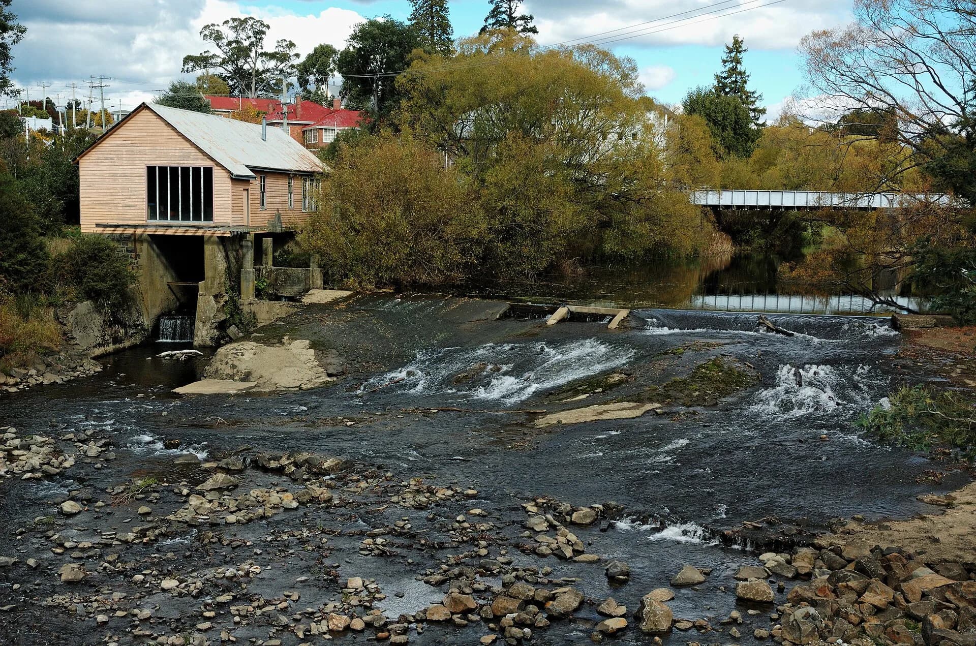
Deloraine sits on the Meander River beneath the Great Western Tiers. It combines an everyday regional centre with a compact historic townscape, riverside paths and access to inland parks and farming districts.
Orient yourself at the river
The river and railway divide the town into distinct levels. Public paths and bridges provide a straightforward introduction, but water levels, wet surfaces and maintenance can affect short sections.

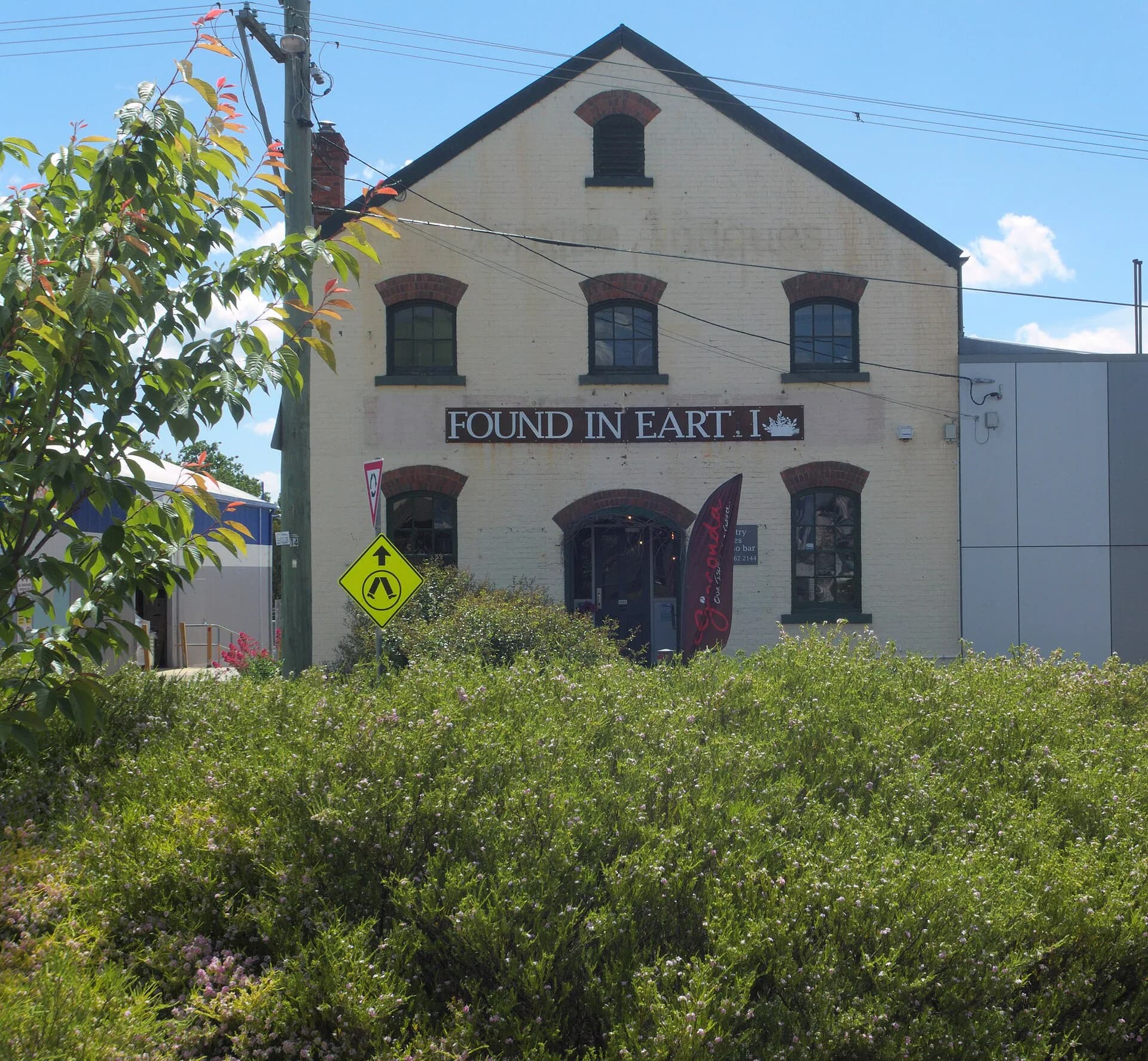
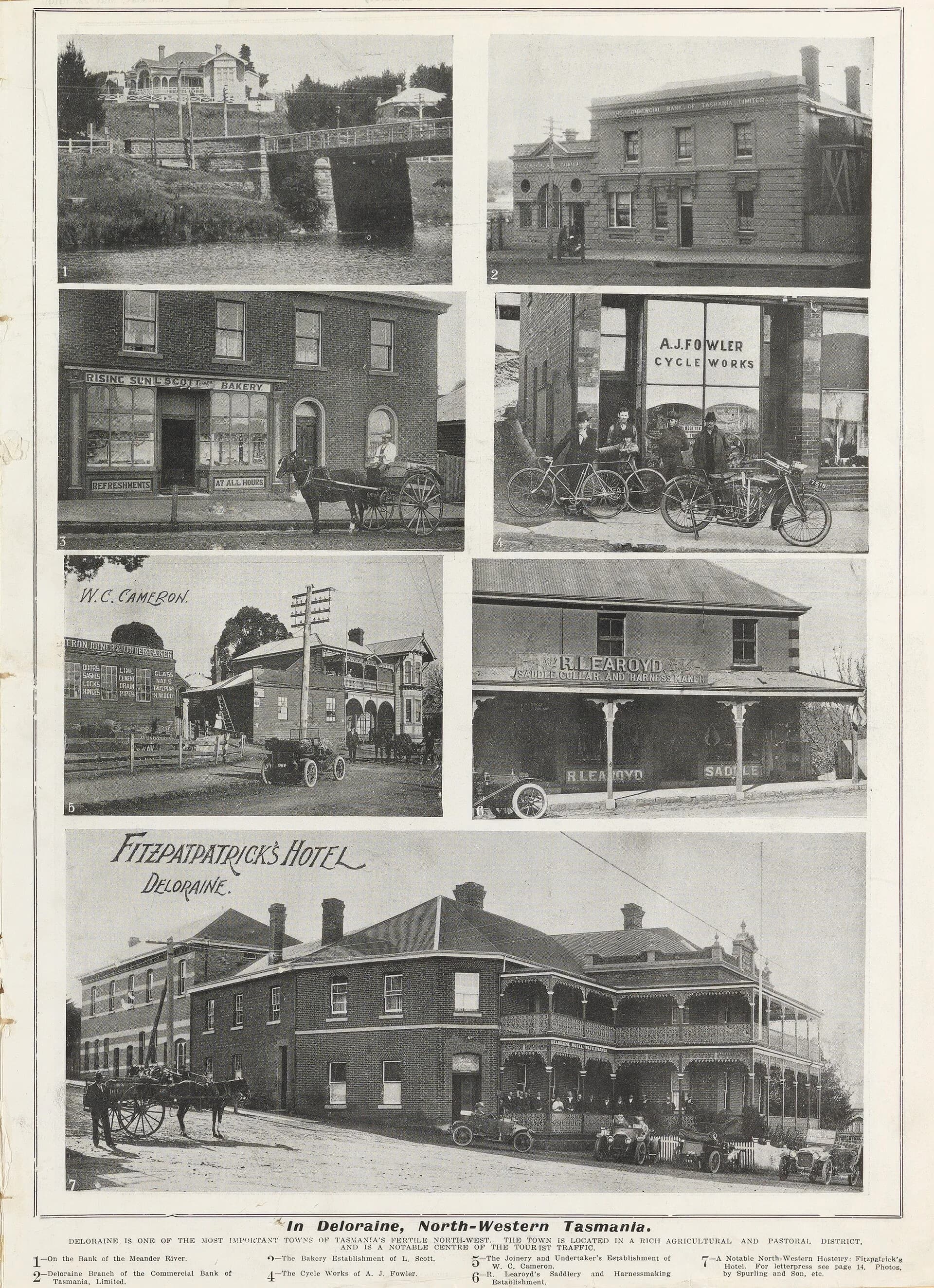
From the river, walk uphill through the commercial centre. Buildings along Emu Bay Road, West Church Street and nearby blocks show different phases of growth rather than a single preserved period.
Arts and community life
Deloraine is strongly associated with craft and the annual Tasmanian Craft Fair, but the town’s galleries, shops and studios change over time. Check current opening days, especially outside peak visitor periods.
Base for the Great Western Tiers
Liffey Falls, Mole Creek, kooparoona niara / Great Western Tiers and rural drives are reached by separate roads. Distances may look short, but winding routes and weather make one focused day trip more useful than a rushed circuit.
_(13415292135).jpg)
Practical visit
Deloraine has supermarkets, fuel, food and accommodation, making it a useful resupply point. Allow two hours for the river and centre, or stay overnight for a district visit. Before a waterfall or mountain trip, check Parks Tasmania alerts and road conditions rather than relying on town weather.