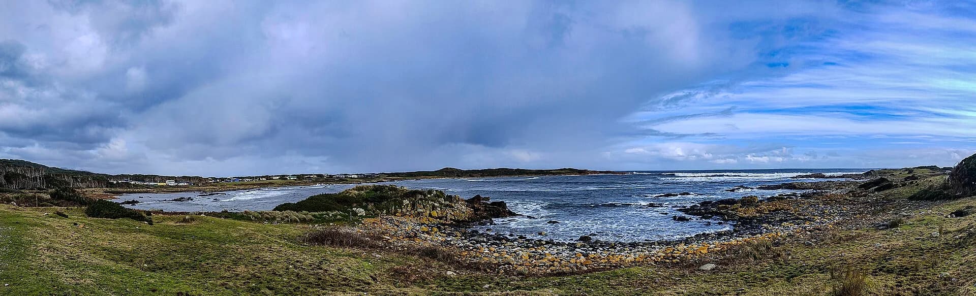

Granville Harbour is a small coastal settlement north-west of Zeehan. Shacks sit around a working fishing harbour beneath the Heemskirk ranges, with few services and direct exposure to west-coast weather.
Reach the settlement on the formed road
Granville Harbour Road leaves the Heemskirk Road about 26 kilometres from Zeehan. Conditions can change after heavy rain or storm damage. Fuel, groceries and vehicle help are not available in the settlement, so Zeehan is the practical service point.
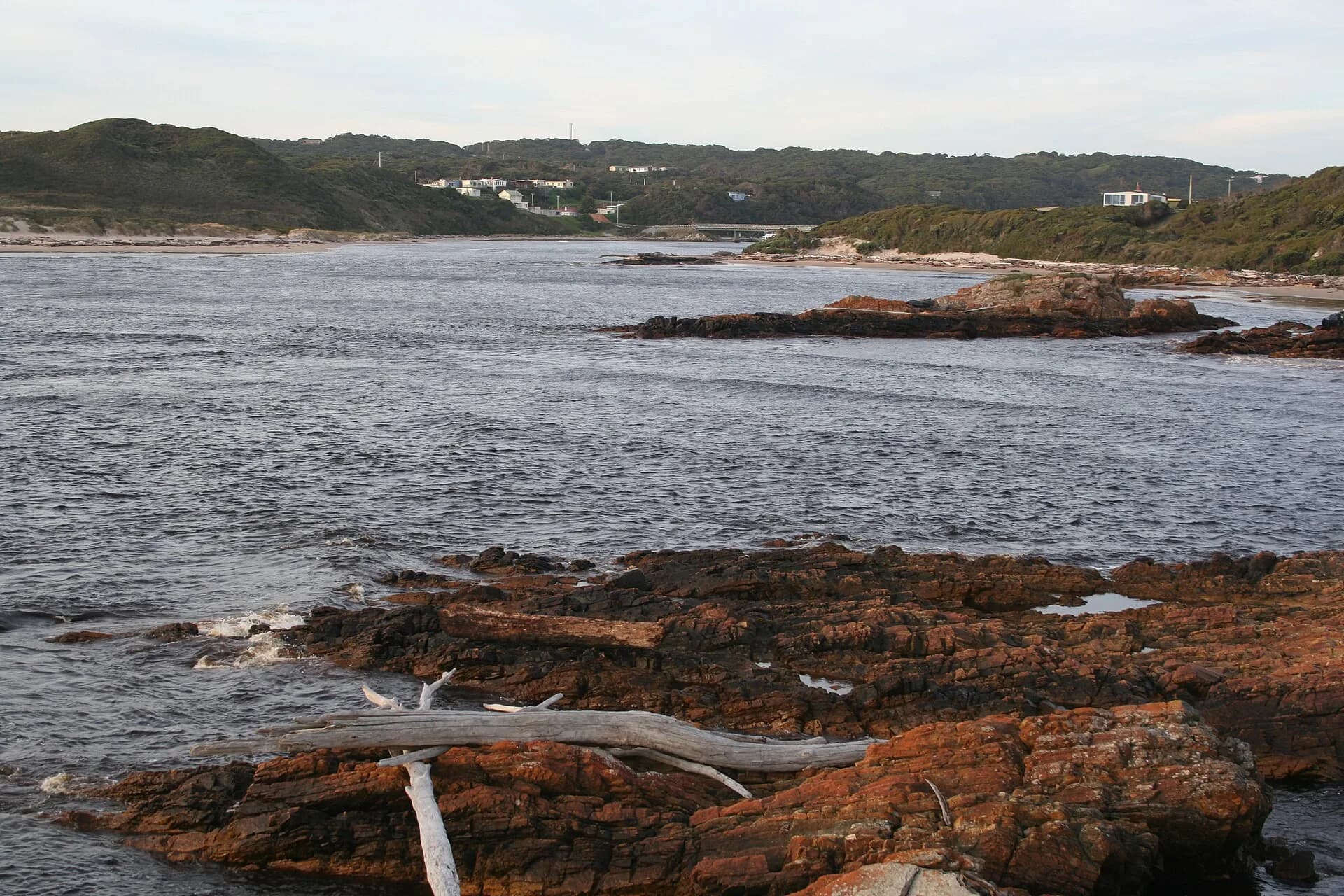

The coast records mining and fishing
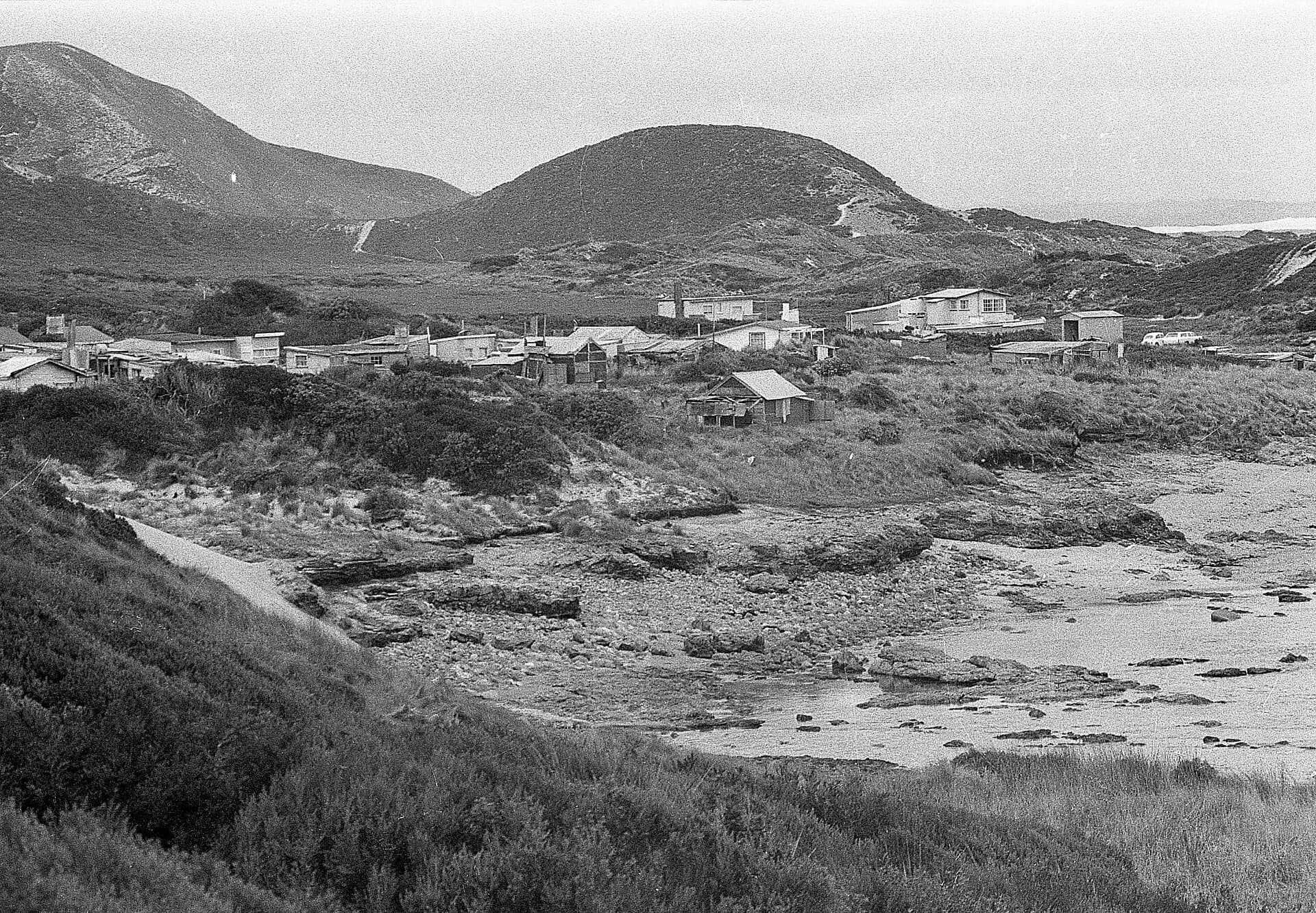
Prospecting around Mount Heemskirk and nearby fields brought tracks and activity into the district from the nineteenth century. The settlement later became associated with fishing and holiday shacks. Much of what appears open on a map remains private, leased or environmentally sensitive land.
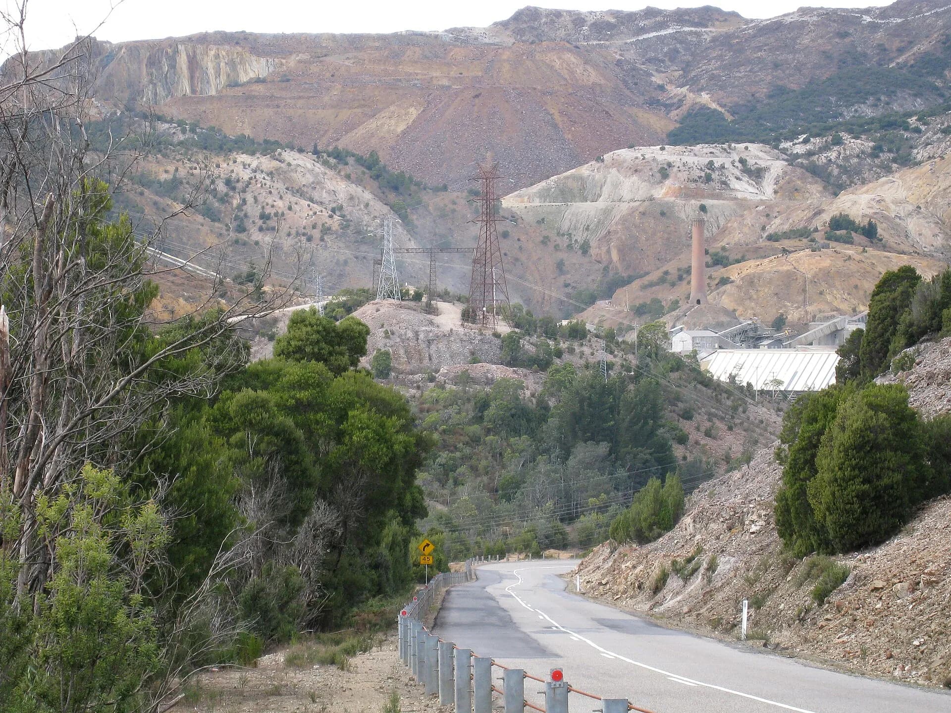

Climies Track is an advanced four-wheel-drive route
Parks Tasmania rates the 20-kilometre route between Granville Harbour and Trial Harbour as very difficult. It includes steep climbs, bog holes, rocky crossings and eroded sections. High-clearance dual-range vehicles, advanced experience, recovery equipment and group travel are specified.

Do not treat online tyre tracks as permission to create bypasses. Check Parks alerts, weather and track status, clean the vehicle to limit disease spread and carry enough equipment to remain overnight. A conventional vehicle can visit the settlement by road without attempting Climies Track. Continue with Trial Harbour, Zeehan and the West Coast guide.