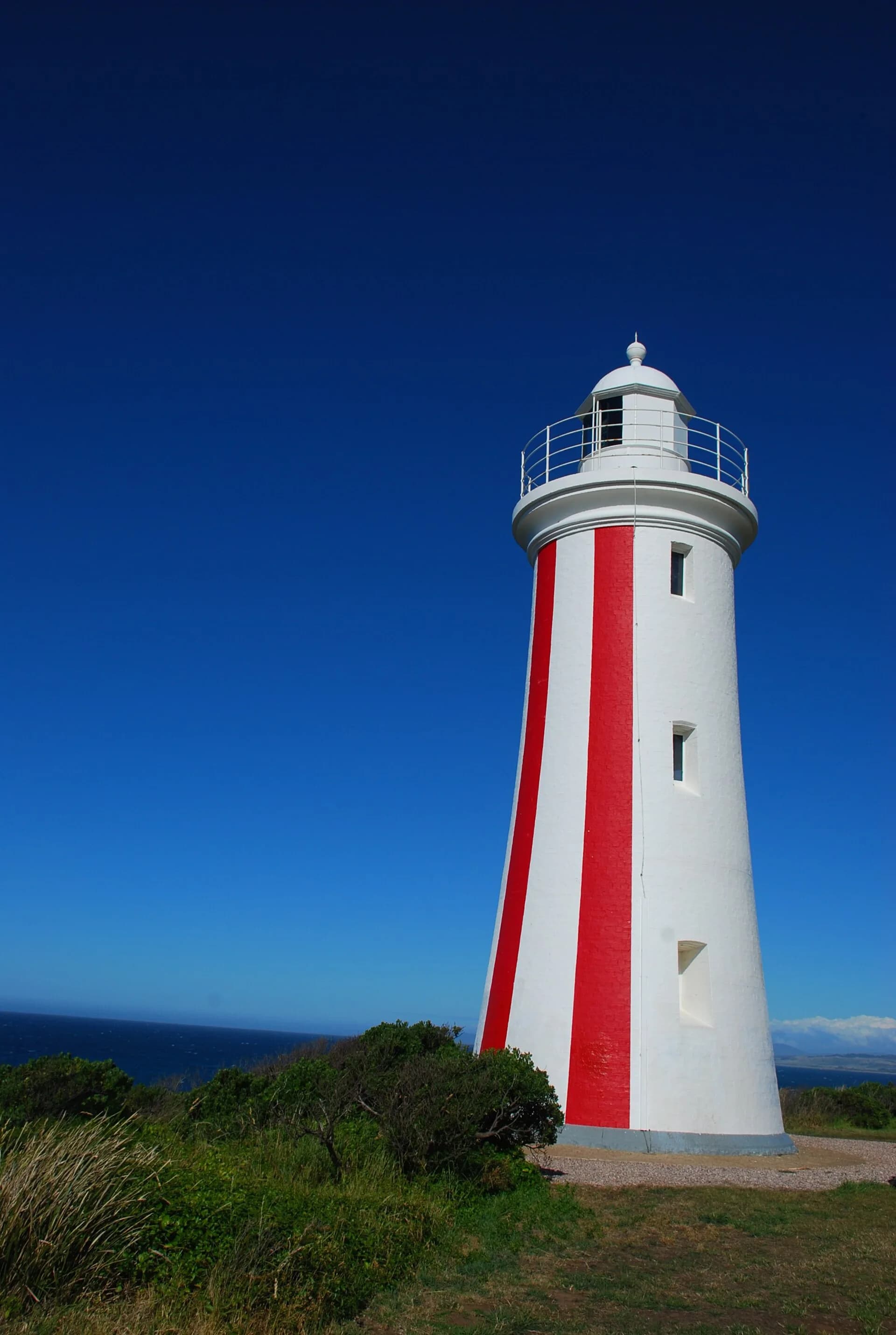

Devonport grew at the mouth of the Mersey River on the Country of north-west Tasmanian Aboriginal people. European settlement developed as two communities, Formby on the west bank and Torquay on the east, before their municipal union adopted the name Devonport in 1890.
River crossing shaped two centres
The Mersey separated early streets, wharves and services. Ferries linked the banks before bridges and road networks made a single city easier to operate. Shipping connected farms and mines with ports beyond Tasmania.

Rail and port reinforced each other
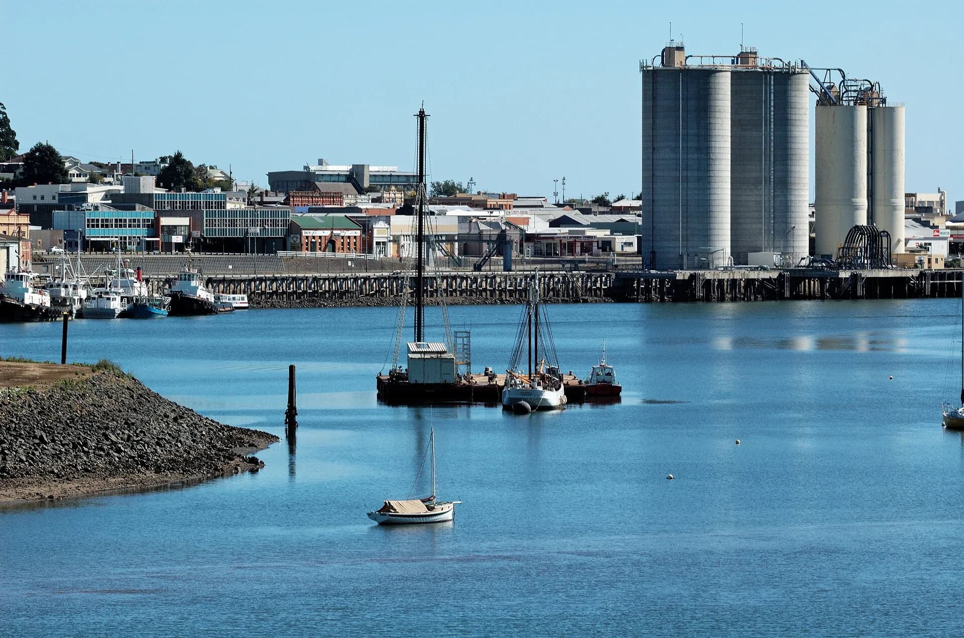
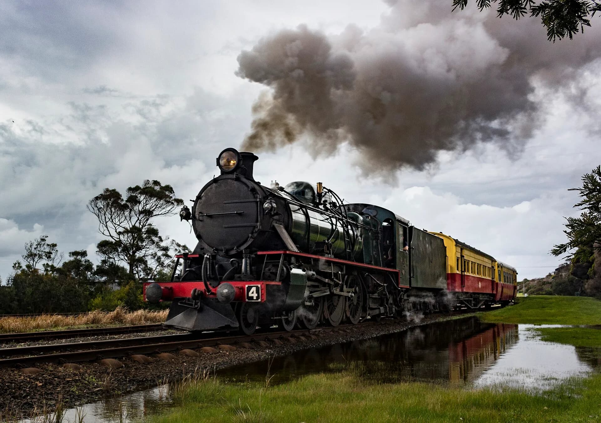
North-west railways brought produce and passengers to the river port. The Don River Railway preserves part of this transport history, while the working port continues to determine access around East Devonport.

Mersey Bluff holds several histories
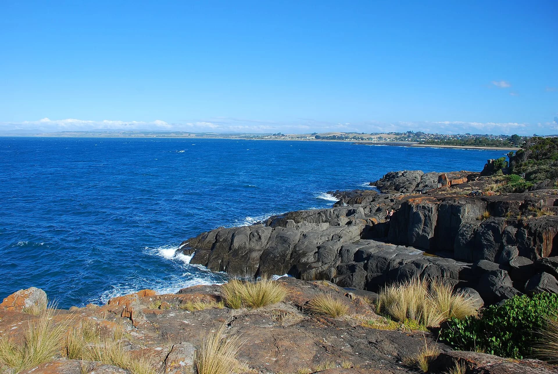
The bluff includes Aboriginal cultural values, a lighthouse opened in 1889 and the old cemetery established for Formby residents. These layers should be read together rather than as isolated monuments.

Use the Devonport guide for a current visit, the Port of Devonport for maritime context and the railway history guide for the wider coast network.