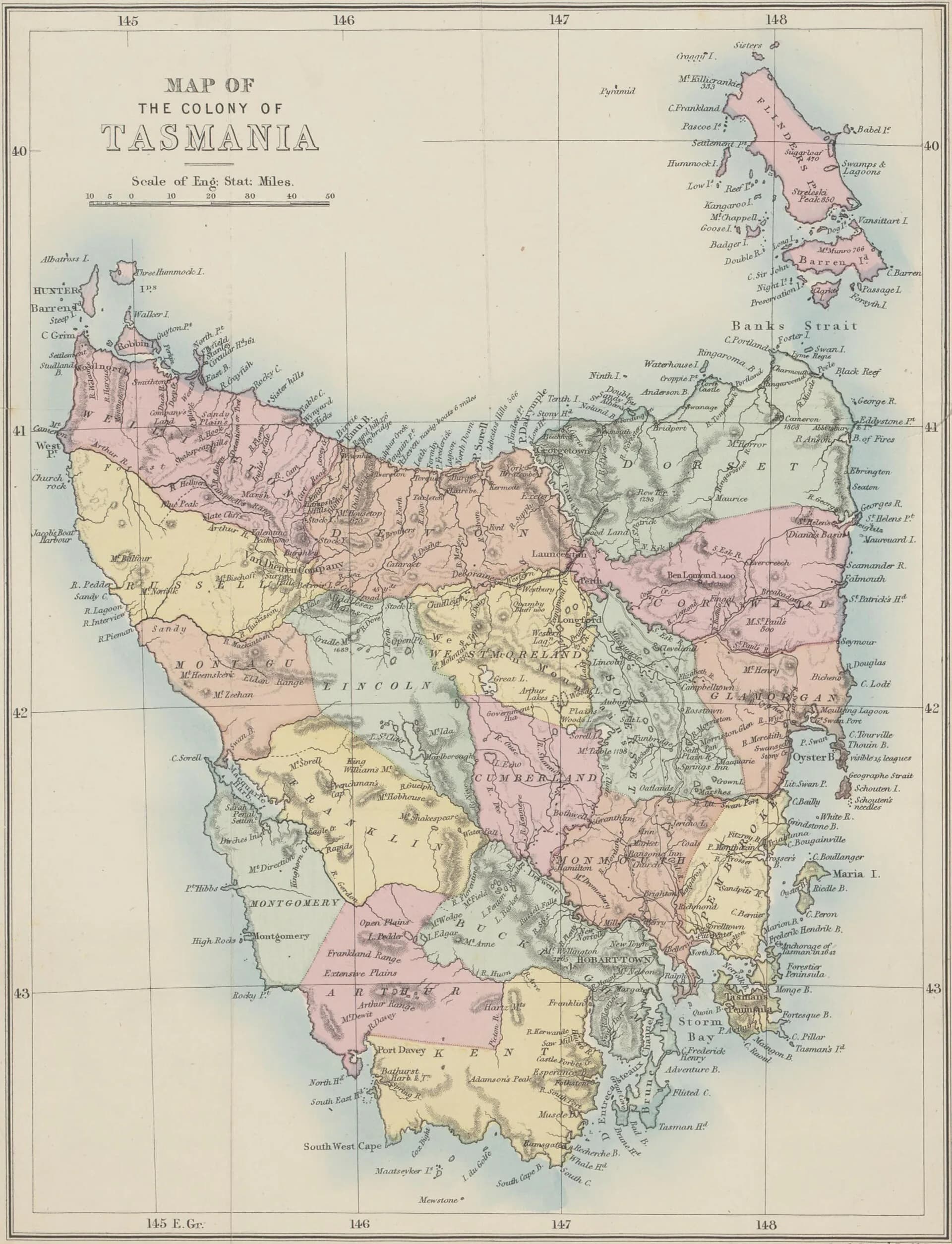

Charles Percy Sprent was a colonial government surveyor whose fieldwork helped map routes through western and north-western Tasmania during the rapid expansion of mineral prospecting in the 1870s. His career belongs to both exploration history and the administrative conversion of Country into surveyed land and resource districts.
He followed his father into surveying
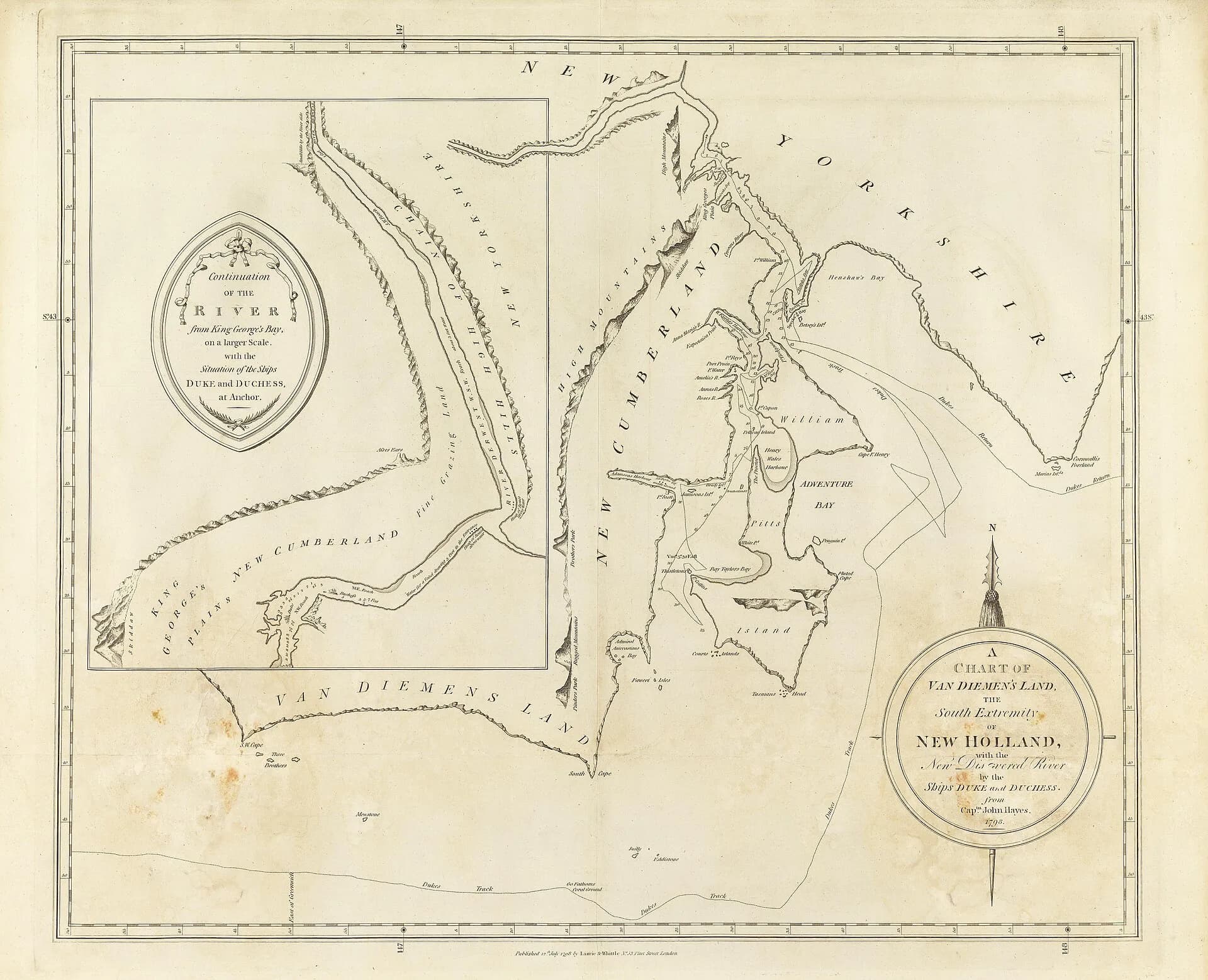
Sprent was born in Hobart in 1849. His father, James Sprent, led the colony’s trigonometric survey and later became Surveyor-General. Charles Percy entered the same profession and was appointed District Surveyor for the north-western district in 1871.
.jpg)
Land Tasmania records his service as Deputy Surveyor-General from 1882 until 1887. He died in Hobart in June 1887.
Western expeditions served a changing mineral economy
Sprent worked between Mount Bischoff, the Pieman and other difficult western country as prospecting intensified. Survey parties cut tracks, fixed positions and reported on terrain that mining interests and later government works could use.
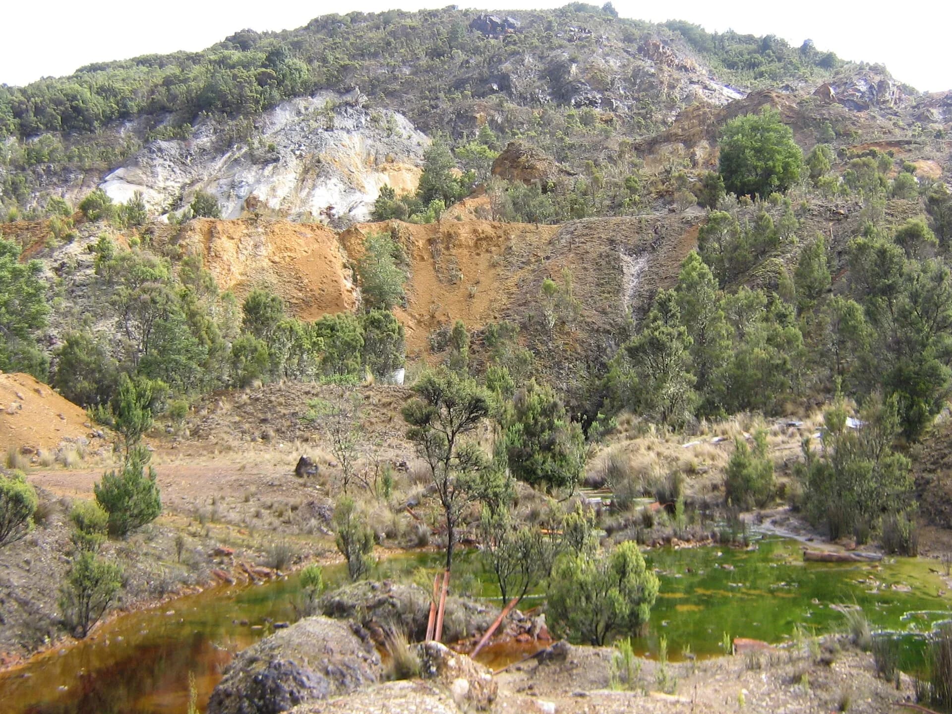

This work should not be framed as the discovery of an empty landscape. Aboriginal people already knew and travelled these countries. Colonial surveys imposed new names, boundaries and extractive priorities, with lasting effects on land access and ownership.
Read the reports as evidence, not adventure copy
Sprent published on recent West Coast exploration, and official reports preserve the language, priorities and measurements of government fieldwork. They are valuable primary sources, but they reflect colonial institutions and should be read beside Aboriginal history, mining records and later environmental research.
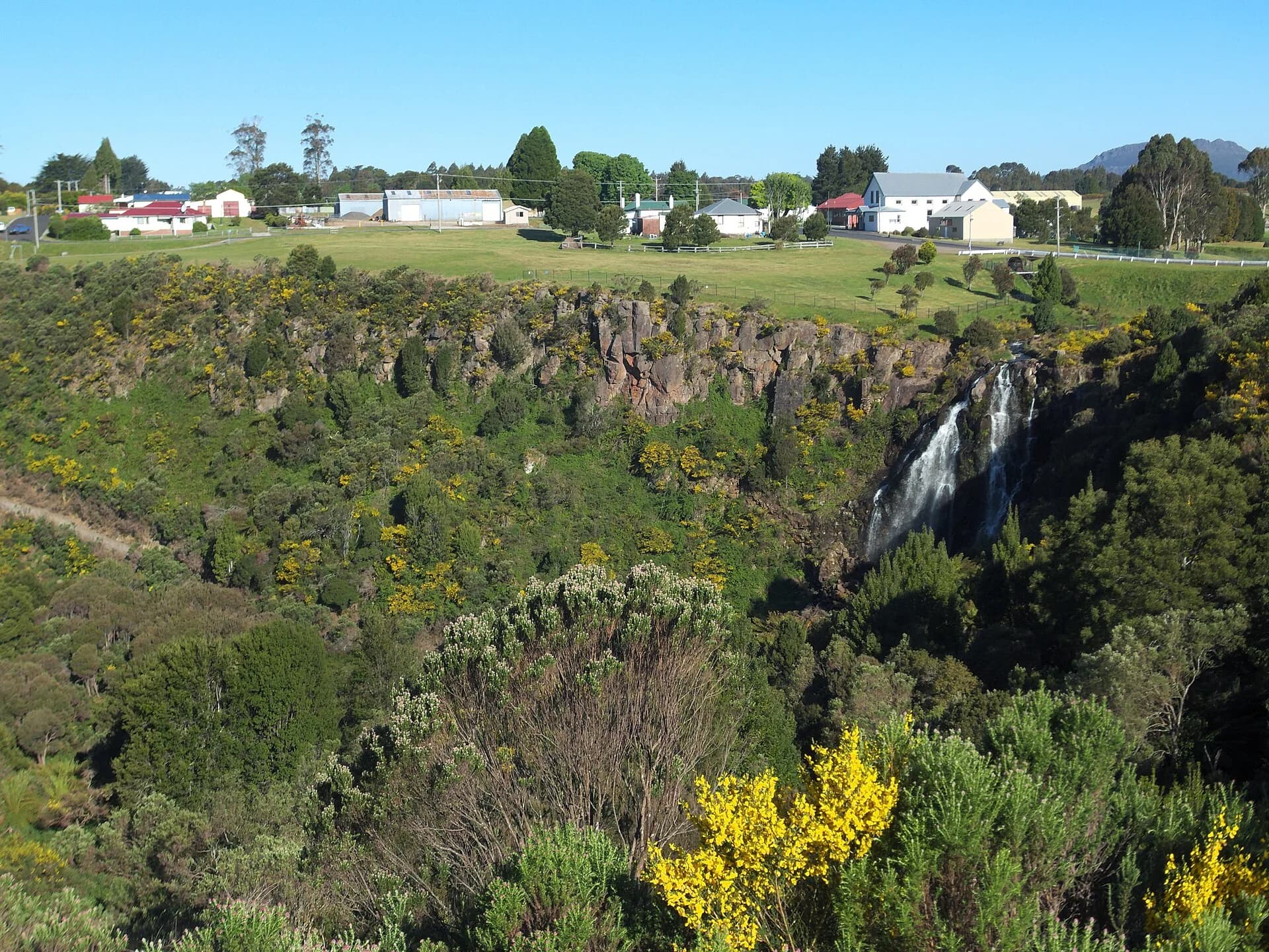

The Waratah guide explains the Mount Bischoff setting, while Henry Hellyer provides an earlier example of survey work tied to the Van Diemen’s Land Company.