.jpg)
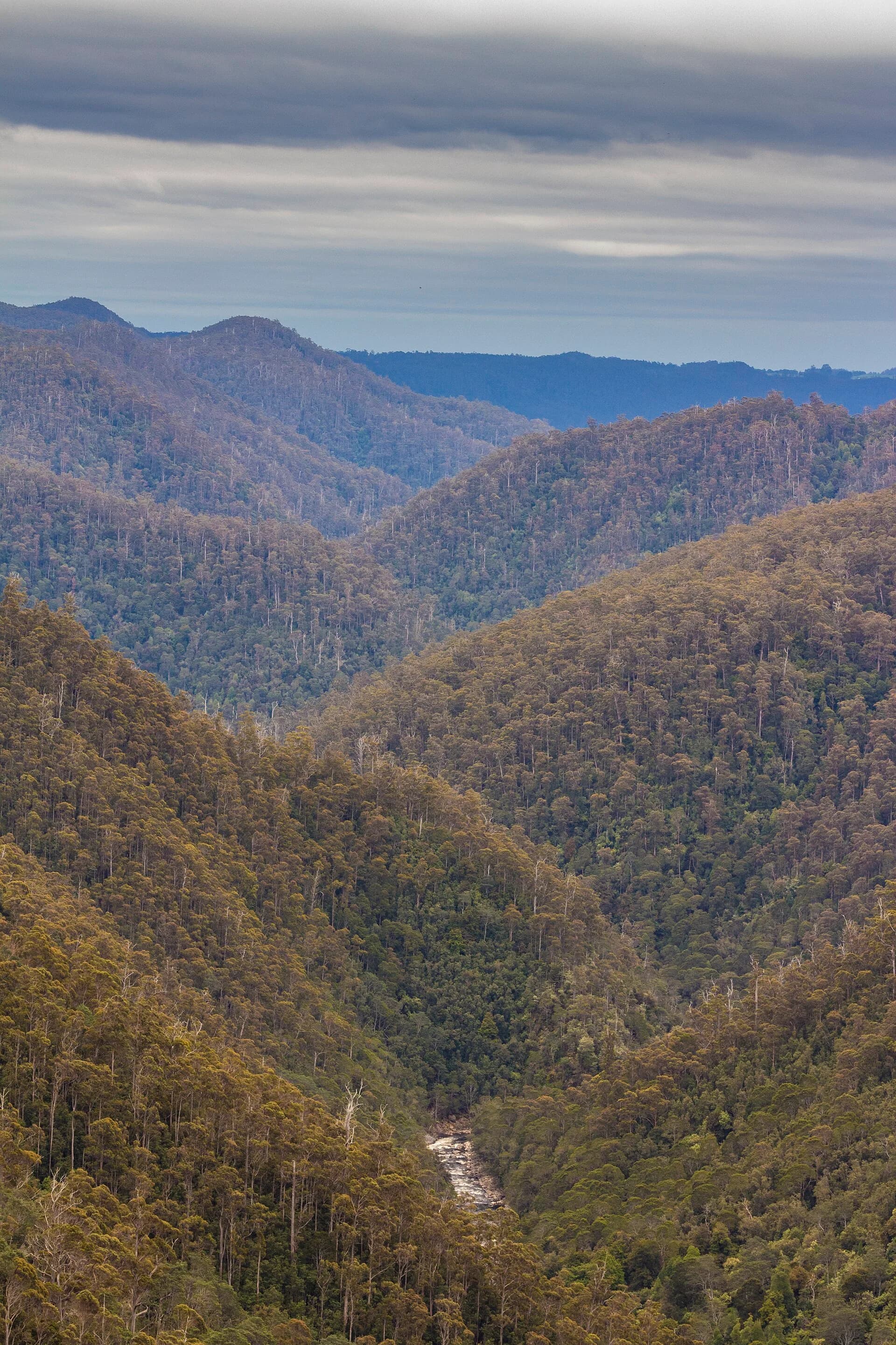
Tasmania’s rivers have cut through dolerite, sandstone, quartzite and older folded rocks to form steep valleys, ravines and gorges. Some can be viewed from city paths; others require remote walking and river skills. The landform name alone says little about access difficulty.
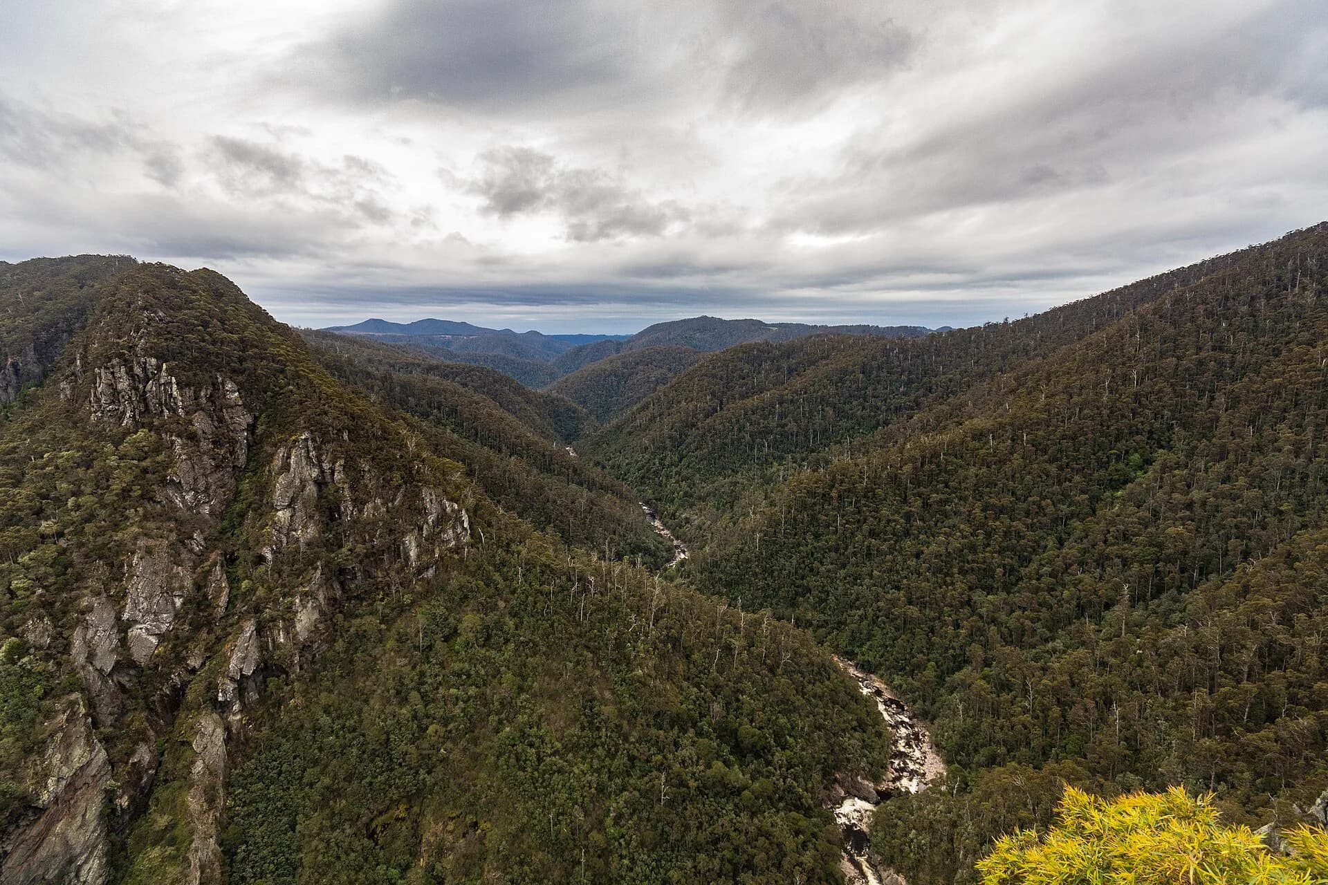
Leven Canyon has a formed rim circuit
Leven Canyon’s public circuit reaches Cruickshanks and Edge lookouts above the Leven River. The 1.2-kilometre Grade 3 walk includes steep steps between lookouts, exposed edges and weather that can change quickly.
.jpg)
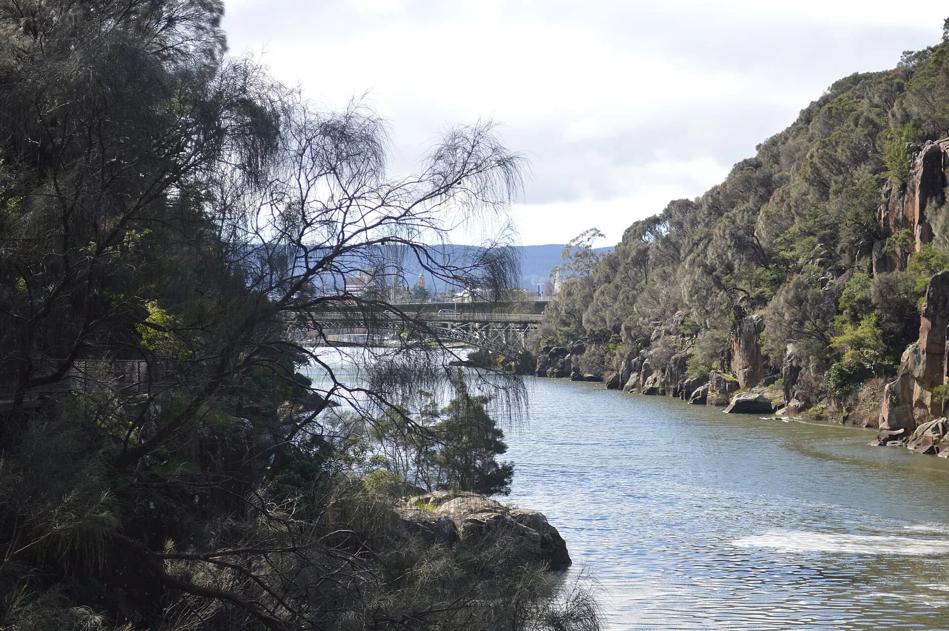
Cataract Gorge meets the city
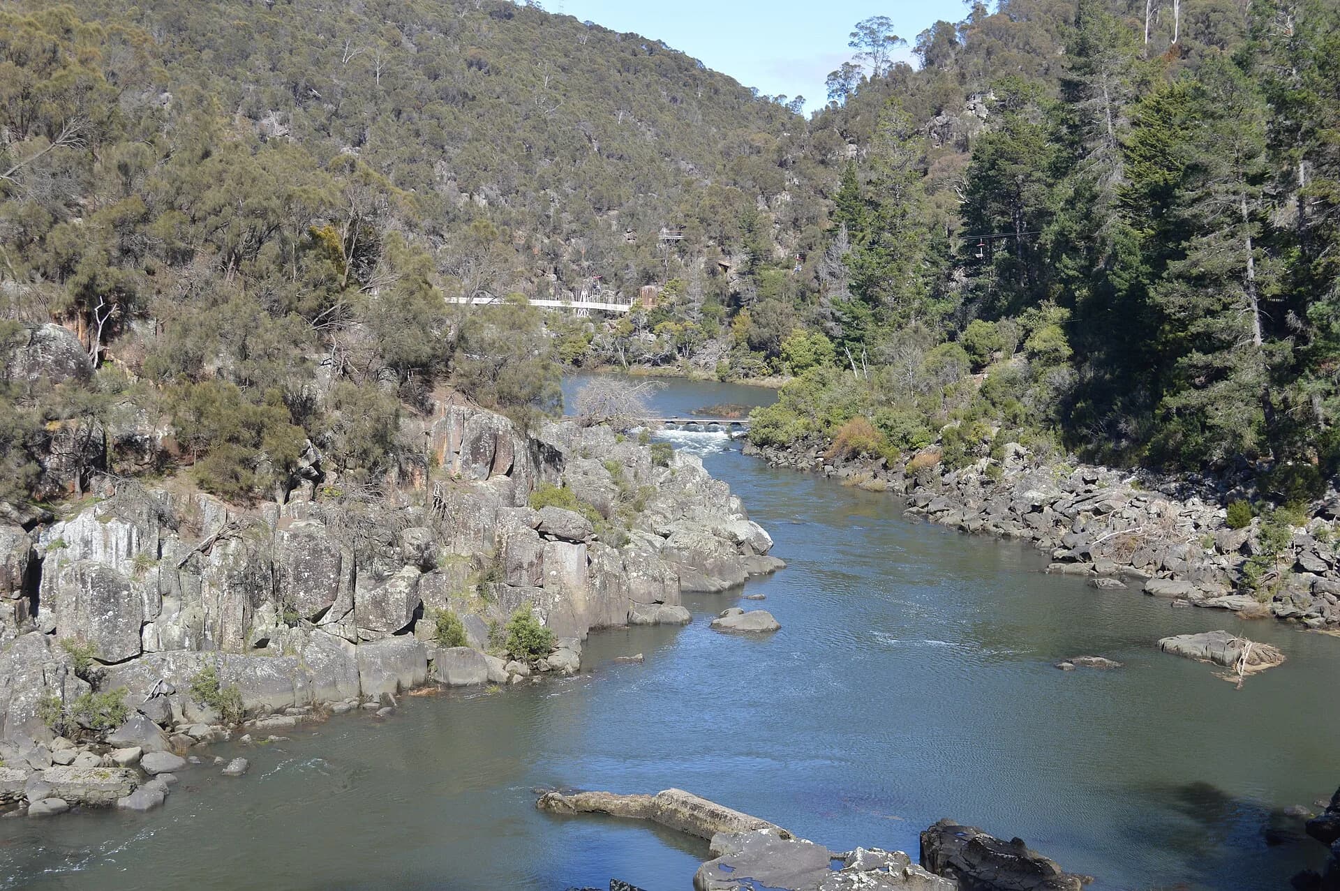
Cataract Gorge begins close to central Launceston. Formed paths and facilities make it accessible as a landscape, but cliffs, water, heat and track closures still require attention.

A gorge is not permission to enter water
Many river chasms have no maintained descent. Swift flow, cold water, slippery rock and sudden level changes can make informal scrambling or swimming hazardous. Canyoning requires specialist route knowledge, equipment and judgement.

Use the Tasmania hiking guide to assess track grades and the cliffs, capes and bluffs guide for exposed coastal landforms. Always use the land manager’s current track page rather than an old route description.